


FLIGHT SUMMARY INFORMATION
Flight Track Map


|
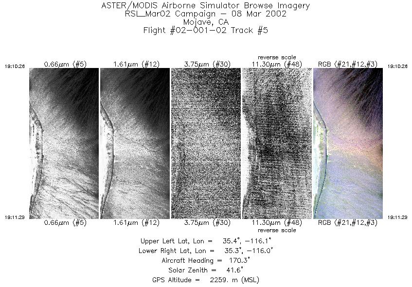
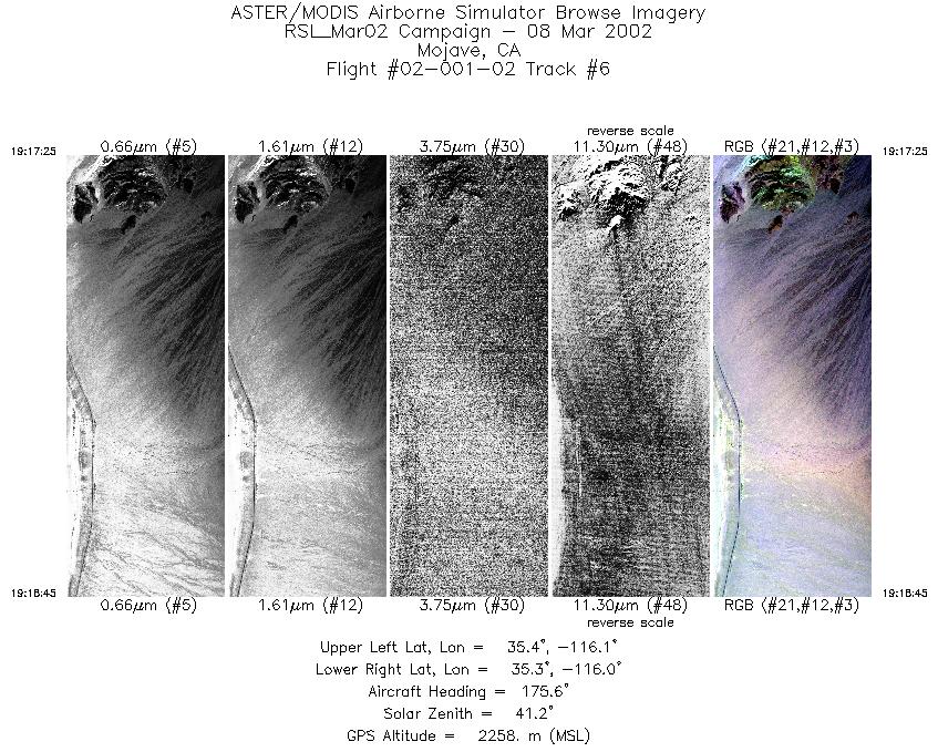
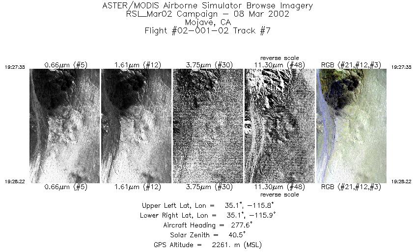
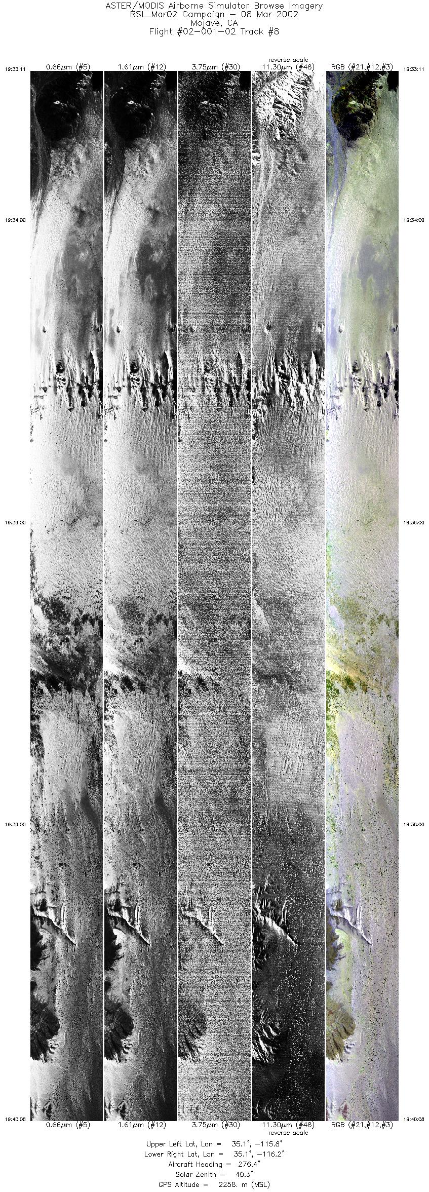
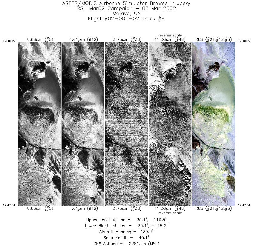
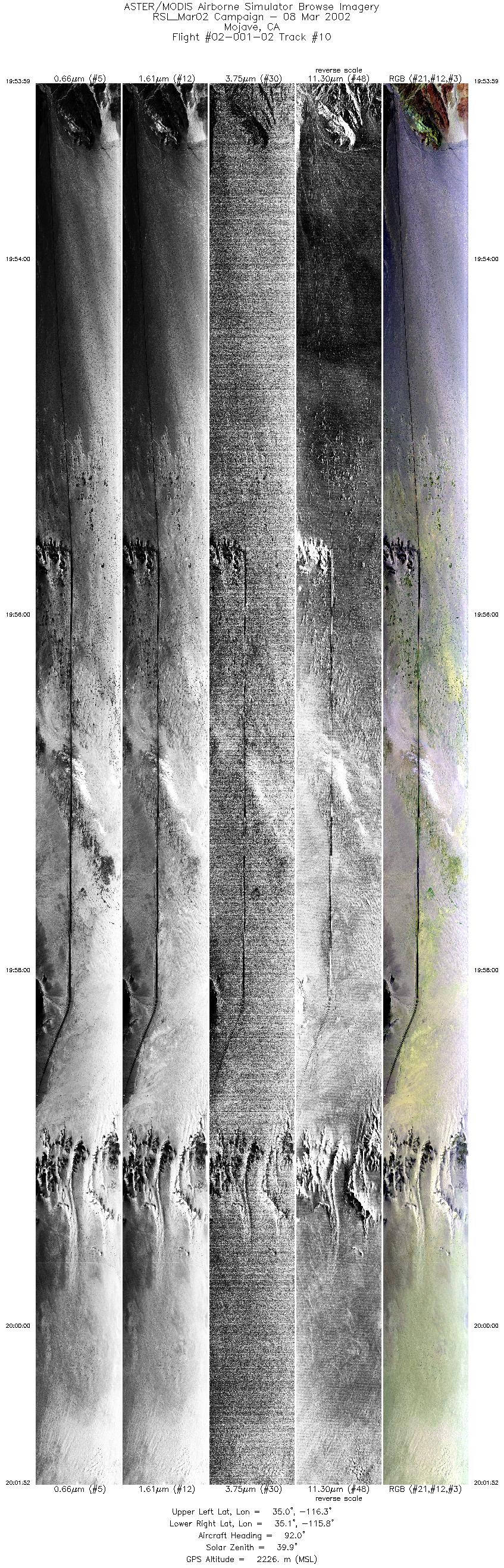
Flight: 02-001-02 Date: March 8, 2002 Aircraft: DOE B-200, #798 Deployment: RSL March 2002 Flight Location: Mojave Desert, (CA & NV) Principal Investigator: Chavez (USGS) Additional Sensors: RC-30 |
||||||||||||||||||||||||||||||||||||||||||||||||||||||||||||||||||||||||||||||||||||||||||||||||||
|
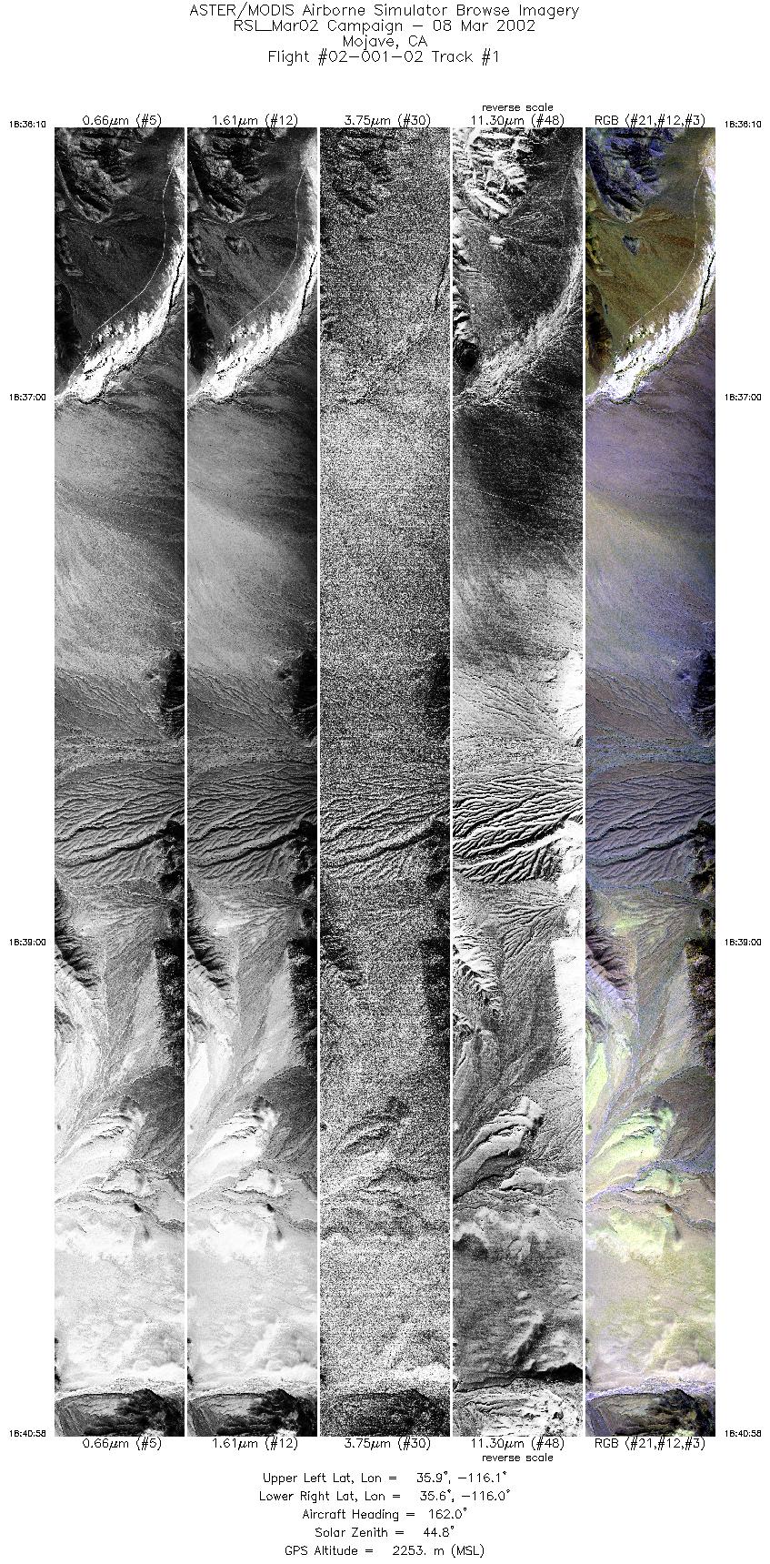
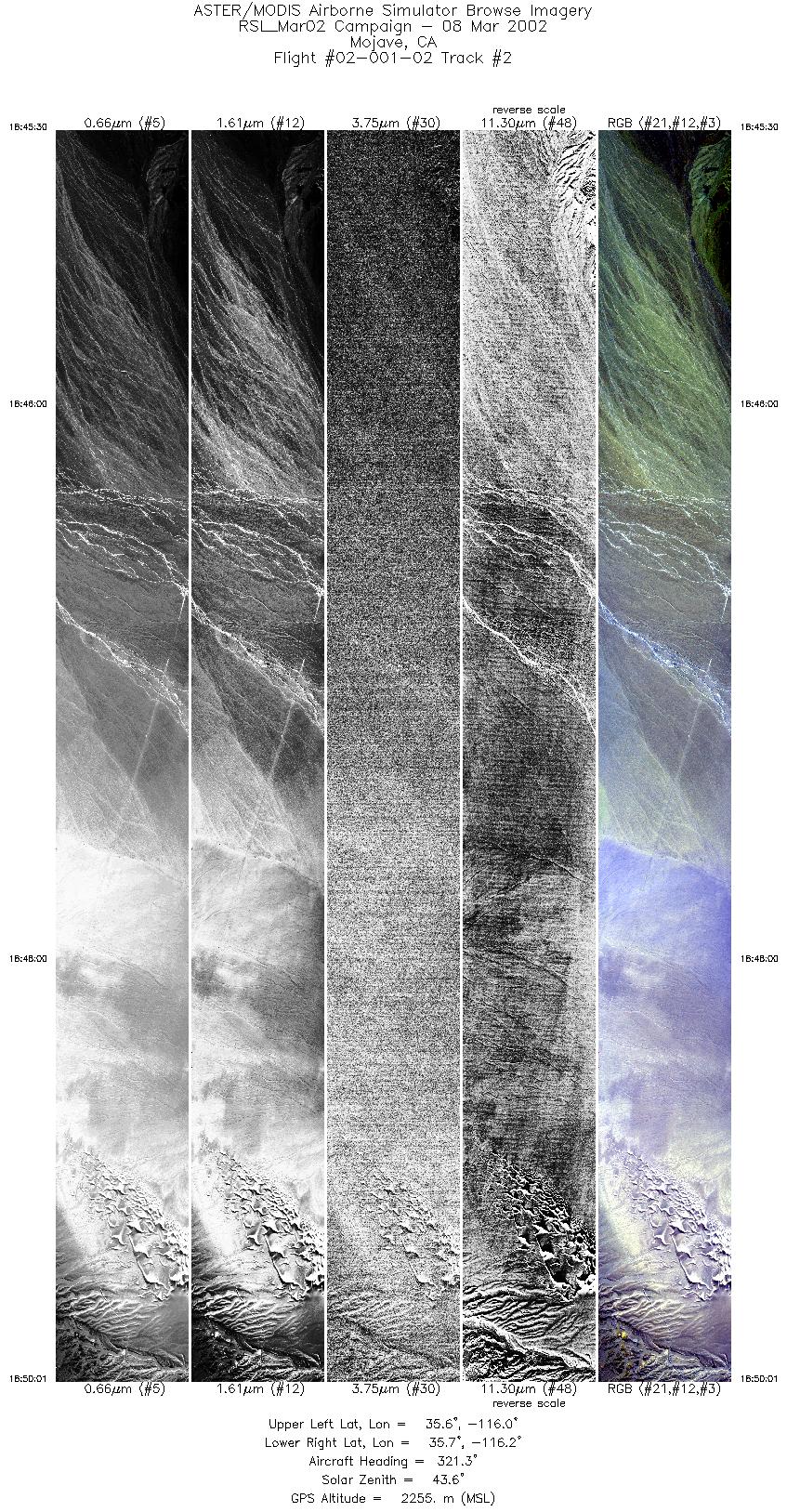
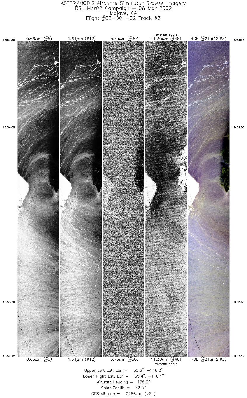
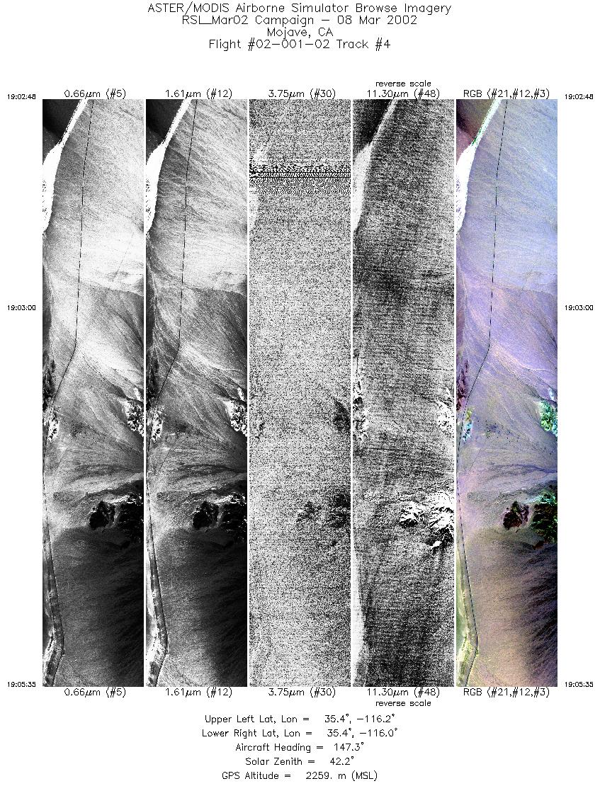
Data Evaluation Flight lines are generally clear. |
||||||||||||||||||||||||||||||||||||||||||||||||||||||||||||||||||||||||||||||||||||||||||||||||||
|
Processing Information Level-1B Data in HDF format is available Flight Line Summary Spectral Band Configuration Spectral Response Function Table Spectral Response Function (text) |
||||||||||||||||||||||||||||||||||||||||||||||||||||||||||||||||||||||||||||||||||||||||||||||||||
|
Browse Imagery Flight Tracks: 10 Scanlines: 53141 |
||||||||||||||||||||||||||||||||||||||||||||||||||||||||||||||||||||||||||||||||||||||||||||||||||
|
||||||||||||||||||||||||||||||||||||||||||||||||||||||||||||||||||||||||||||||||||||||||||||||||||


