


FLIGHT SUMMARY INFORMATION
Flight Track Map


|
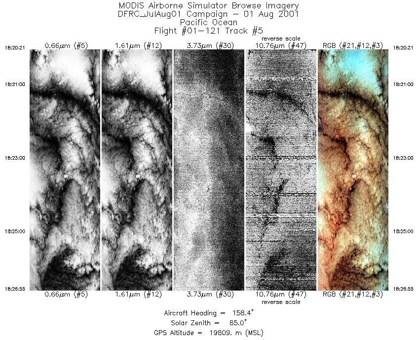
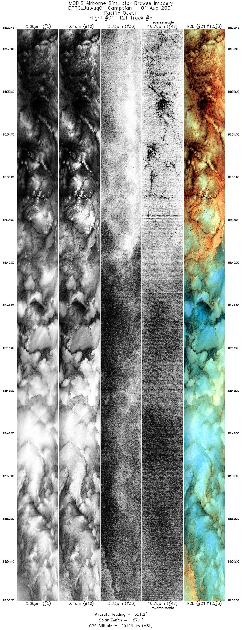
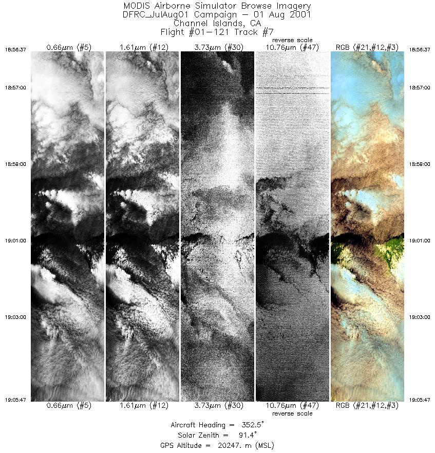
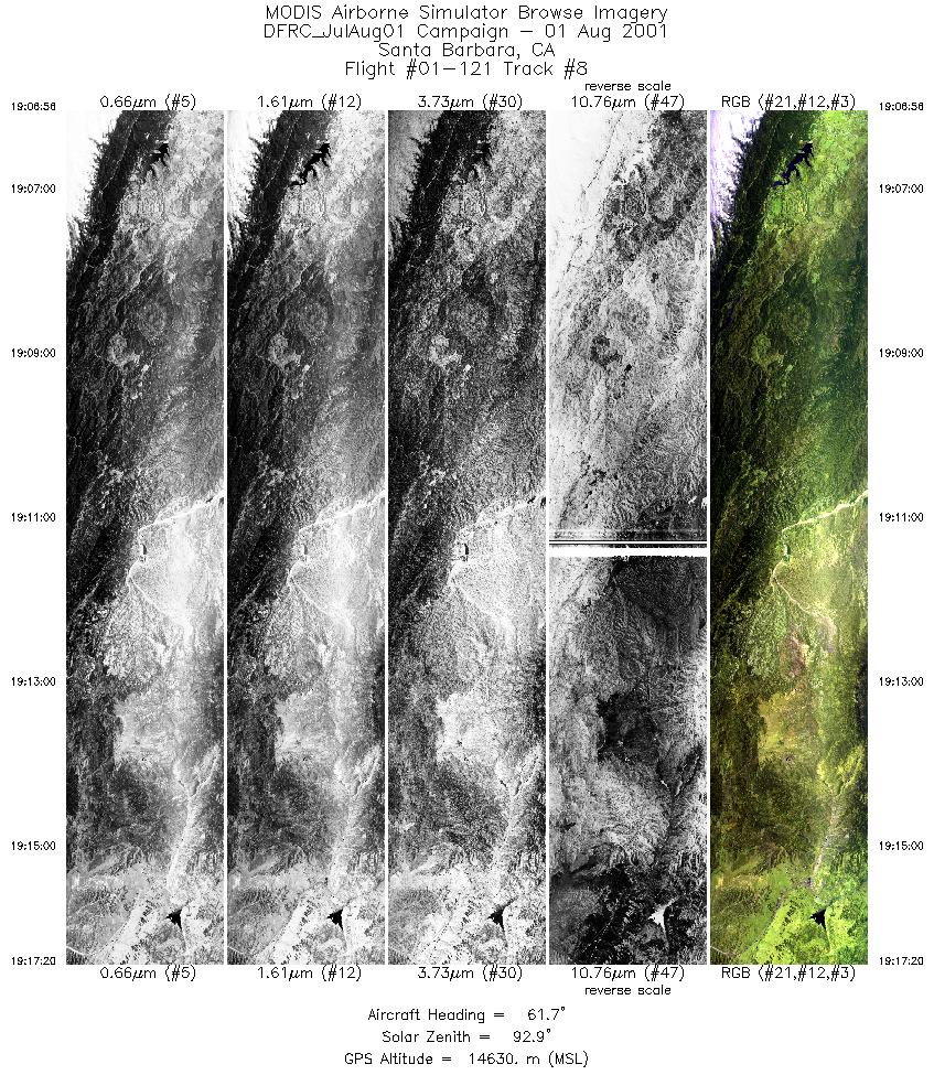
Flight: 01-121-00 Date: August 1, 2001 Aircraft: NASA ER-2, #809 Deployment: DFRC July/August 2001 Flight Location: Pacific Ocean,California Principal Investigator: Additional Sensors: HAMSR, Dropsonde |
||||||||||||||||||||||||||||||||||||||||||||||||||||||||||||||||||||||||||||||||||||
|
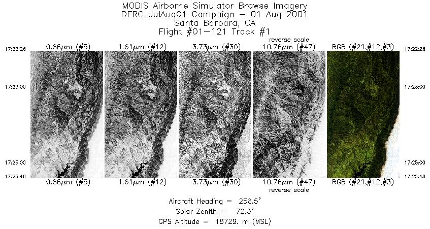
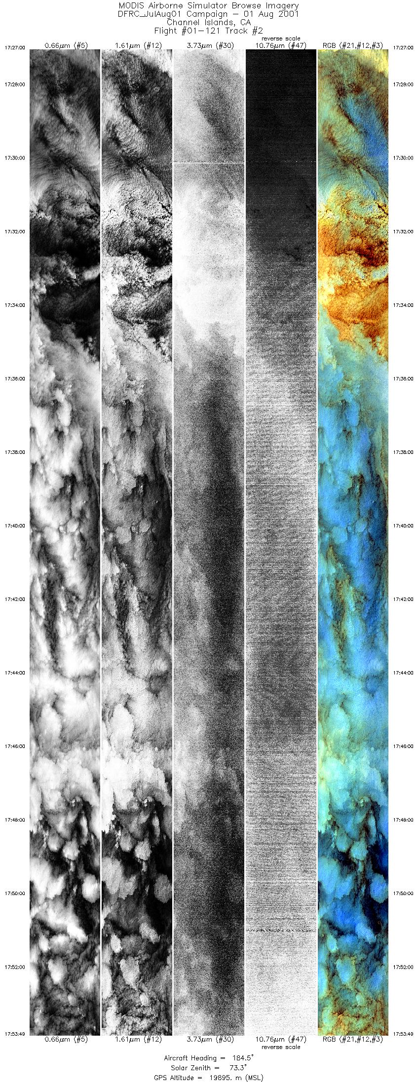
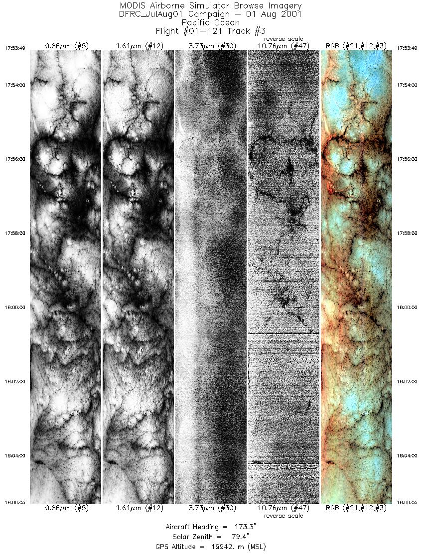
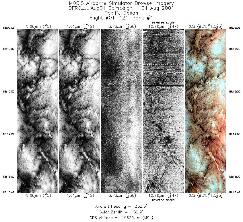
Data Evaluation Flight lines are generally clear with slight haze and some cloud shadows. |
||||||||||||||||||||||||||||||||||||||||||||||||||||||||||||||||||||||||||||||||||||
|
Processing Information Level-1B Data in HDF format is available Flight Line Summary Spectral Band Configuration Spectral Response Function Table Spectral Response Function (text) |
||||||||||||||||||||||||||||||||||||||||||||||||||||||||||||||||||||||||||||||||||||
|
Browse Imagery Flight Tracks: 8 Scanlines: 38436 |
||||||||||||||||||||||||||||||||||||||||||||||||||||||||||||||||||||||||||||||||||||
|
||||||||||||||||||||||||||||||||||||||||||||||||||||||||||||||||||||||||||||||||||||


