


FLIGHT SUMMARY INFORMATION
Flight Track Map


|
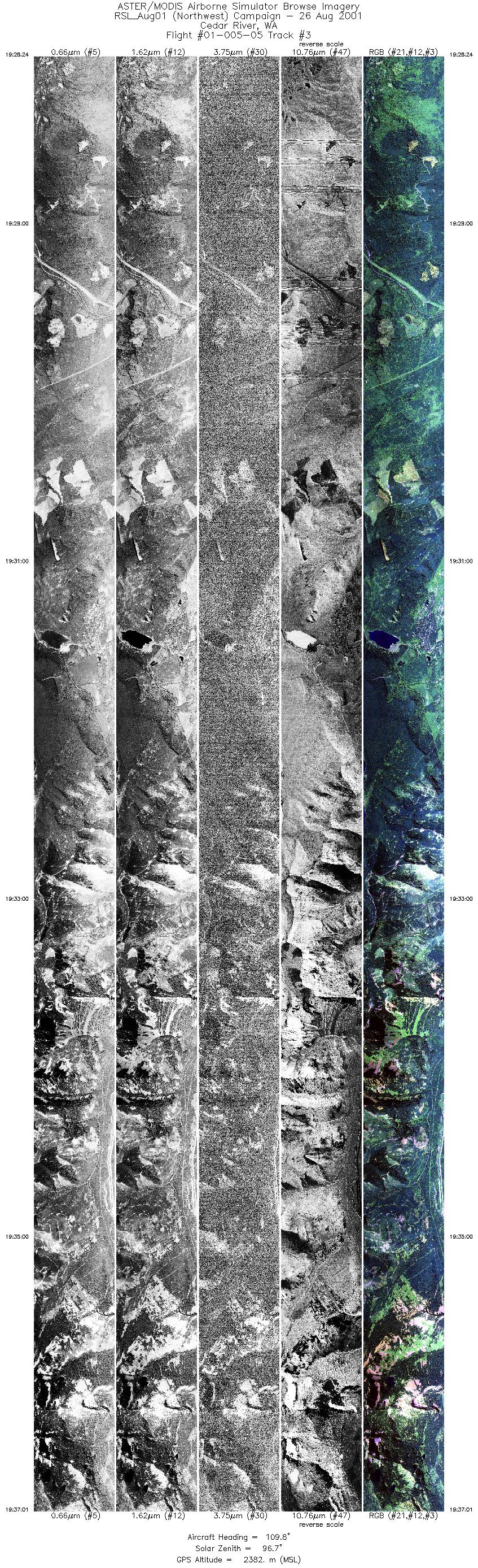
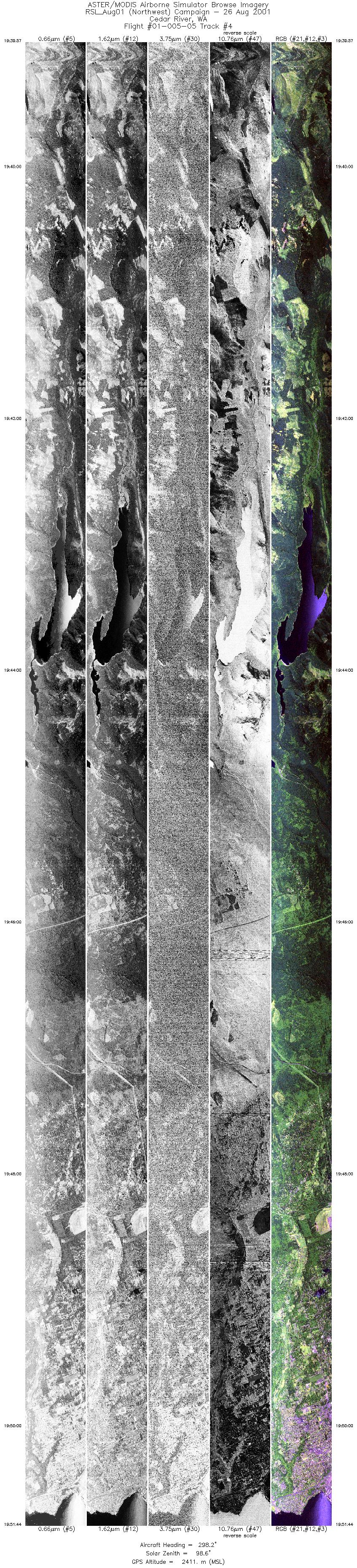
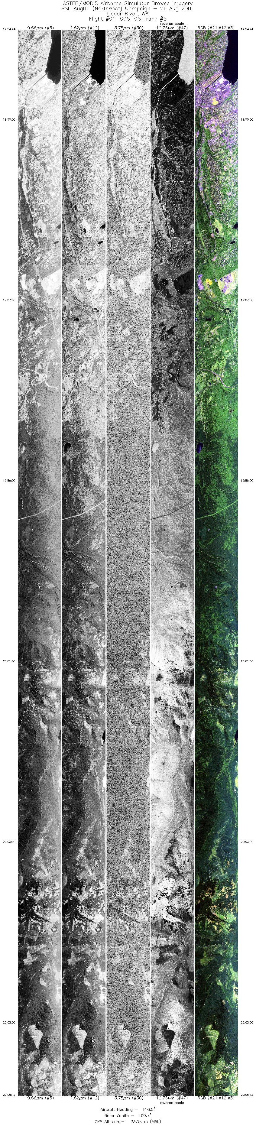
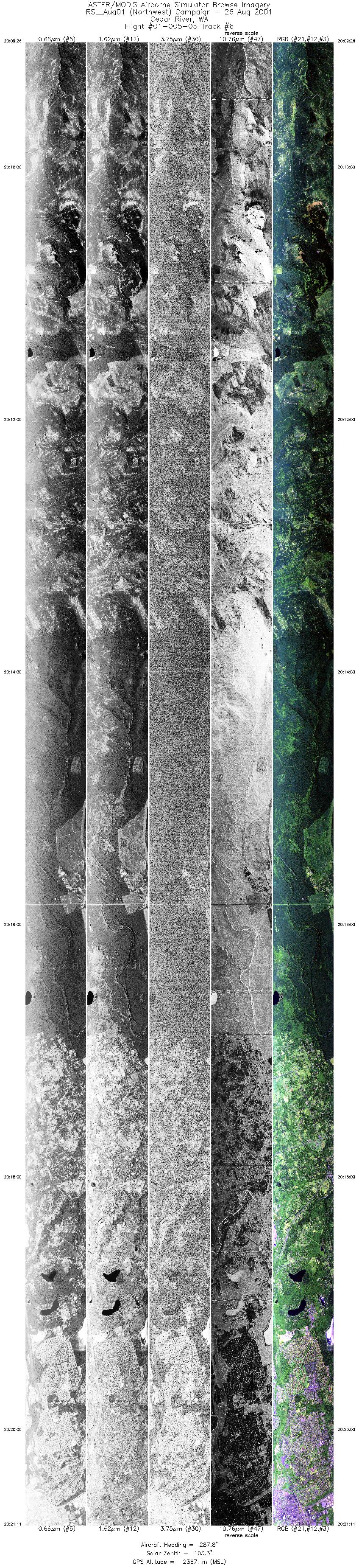
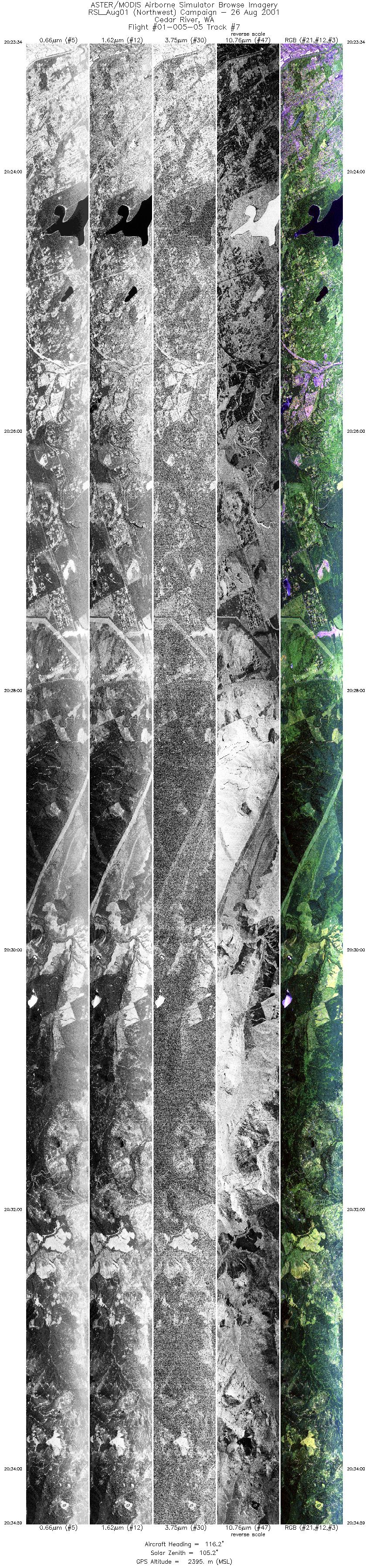
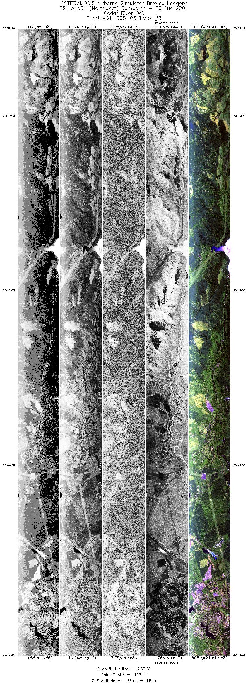
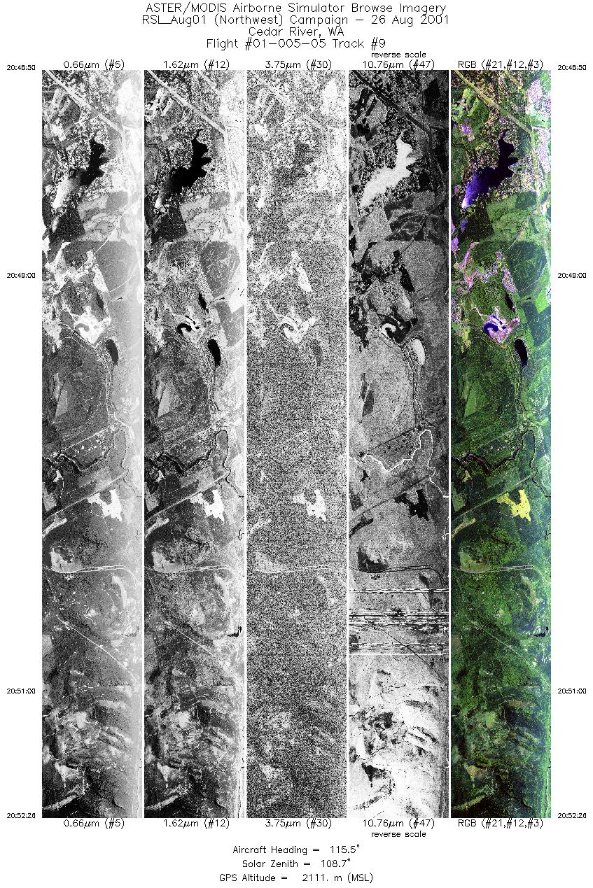
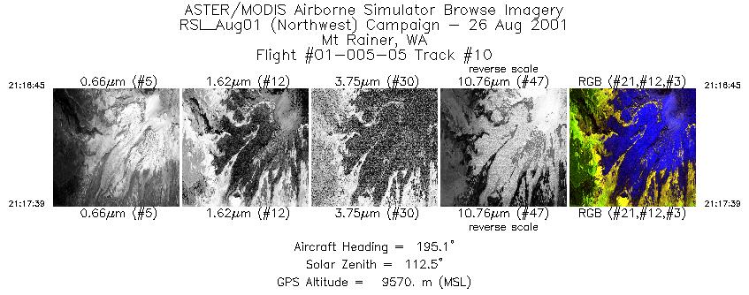
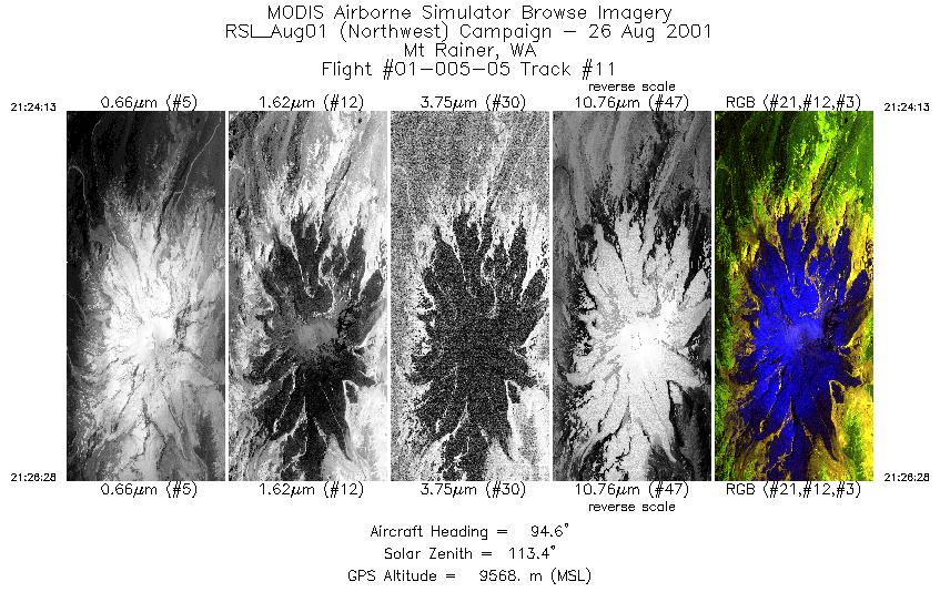
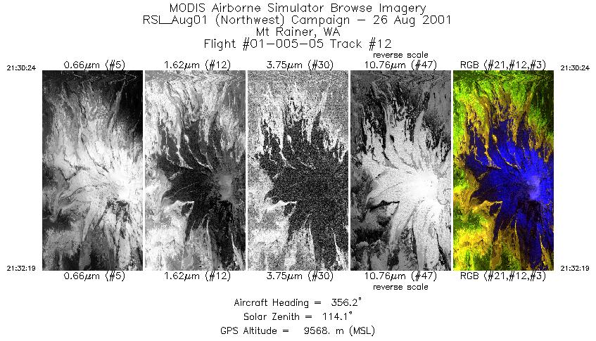
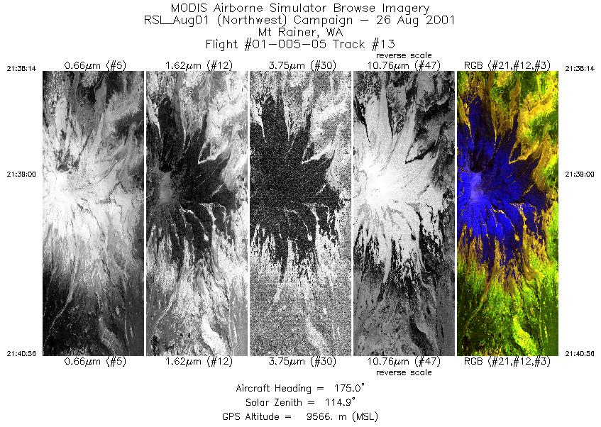
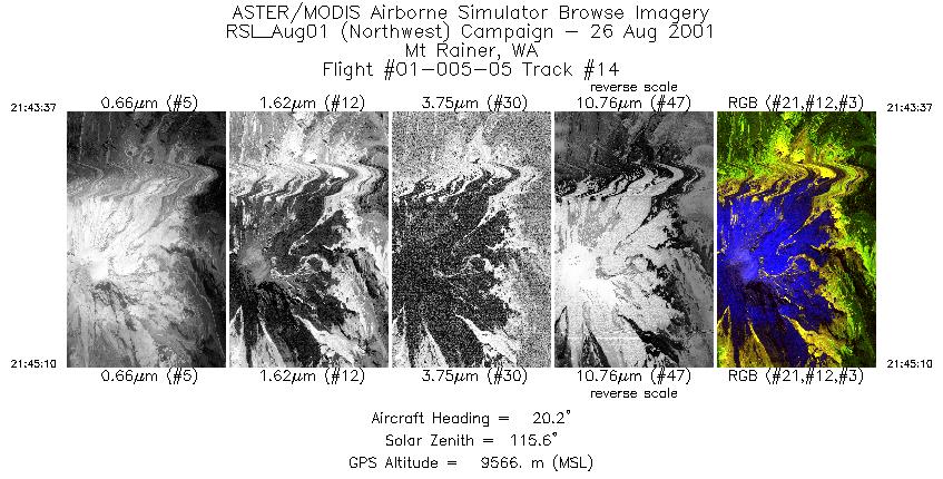
Flight: 01-005-05 Date: August 26, 2001 Aircraft: DOE B-200 Kingair, #798 Deployment: RSL August 2001 Flight Location: Cedar River, Mt. Rainier; Washington Principal Investigator: Gillespi (UW) Additional Sensors: none |
||||||||||||||||||||||||||||||||||||||||||||||||||||||||||||||||||||||||||||||||||||||||||||||||||||||||||||||||
|
Data Evaluation Flight lines are generally clear with slight haze and some cloud shadows. |
||||||||||||||||||||||||||||||||||||||||||||||||||||||||||||||||||||||||||||||||||||||||||||||||||||||||||||||||
|
Processing Information Level-1B Data in HDF format is available Flight Line Summary Spectral Band Configuration Spectral Response Function Table Spectral Response Function (text) |
||||||||||||||||||||||||||||||||||||||||||||||||||||||||||||||||||||||||||||||||||||||||||||||||||||||||||||||||
|
Browse Imagery Flight Tracks: 12 Scanlines: 105525 |
||||||||||||||||||||||||||||||||||||||||||||||||||||||||||||||||||||||||||||||||||||||||||||||||||||||||||||||||
|
||||||||||||||||||||||||||||||||||||||||||||||||||||||||||||||||||||||||||||||||||||||||||||||||||||||||||||||||


