


FLIGHT SUMMARY INFORMATION
Flight Track Map


|
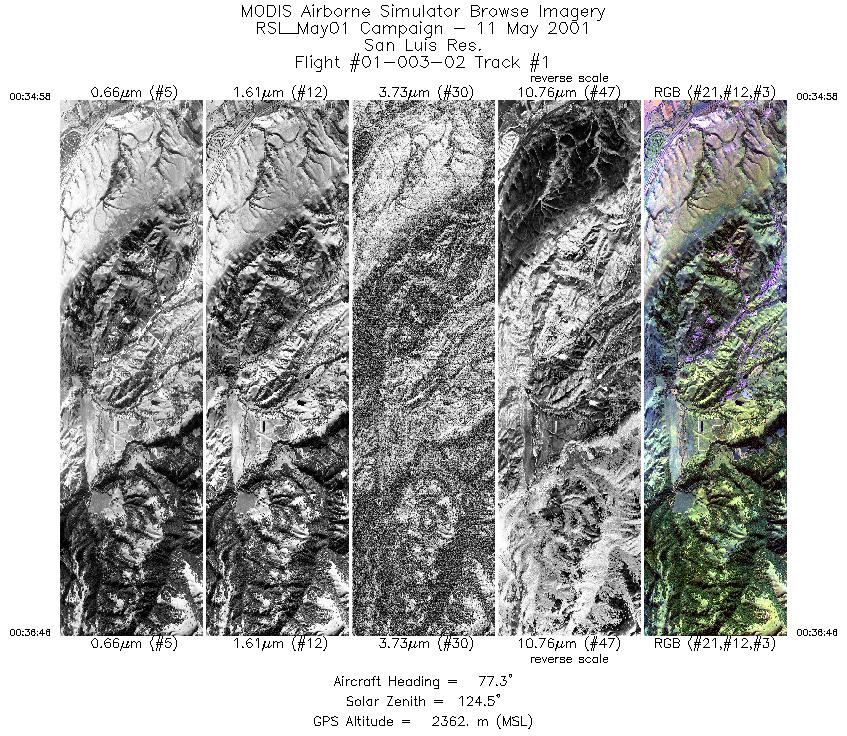
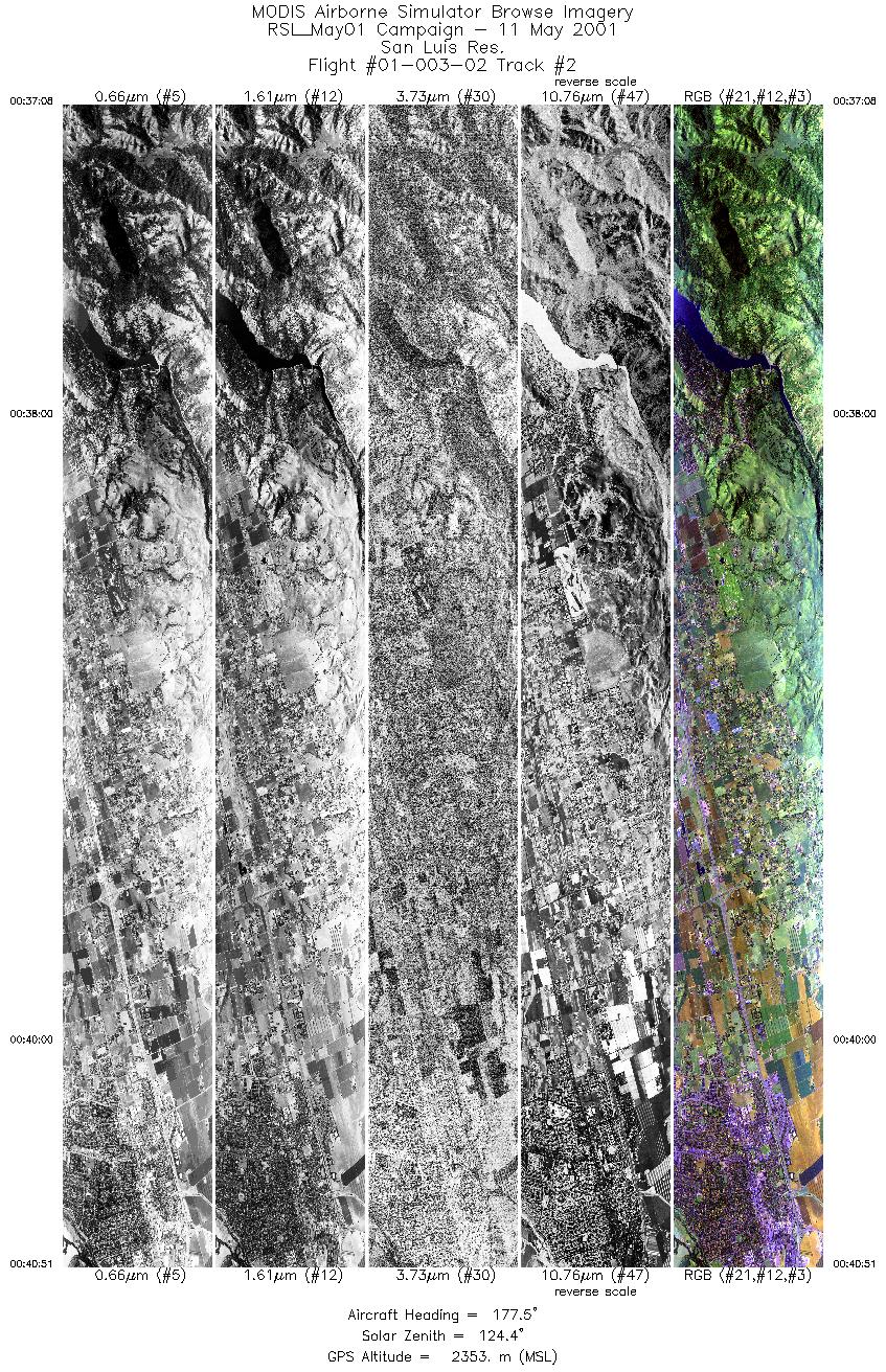
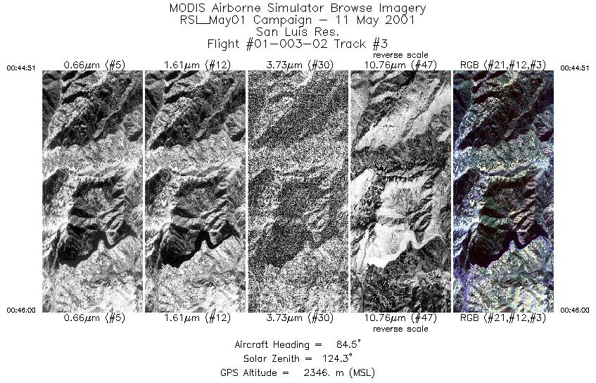
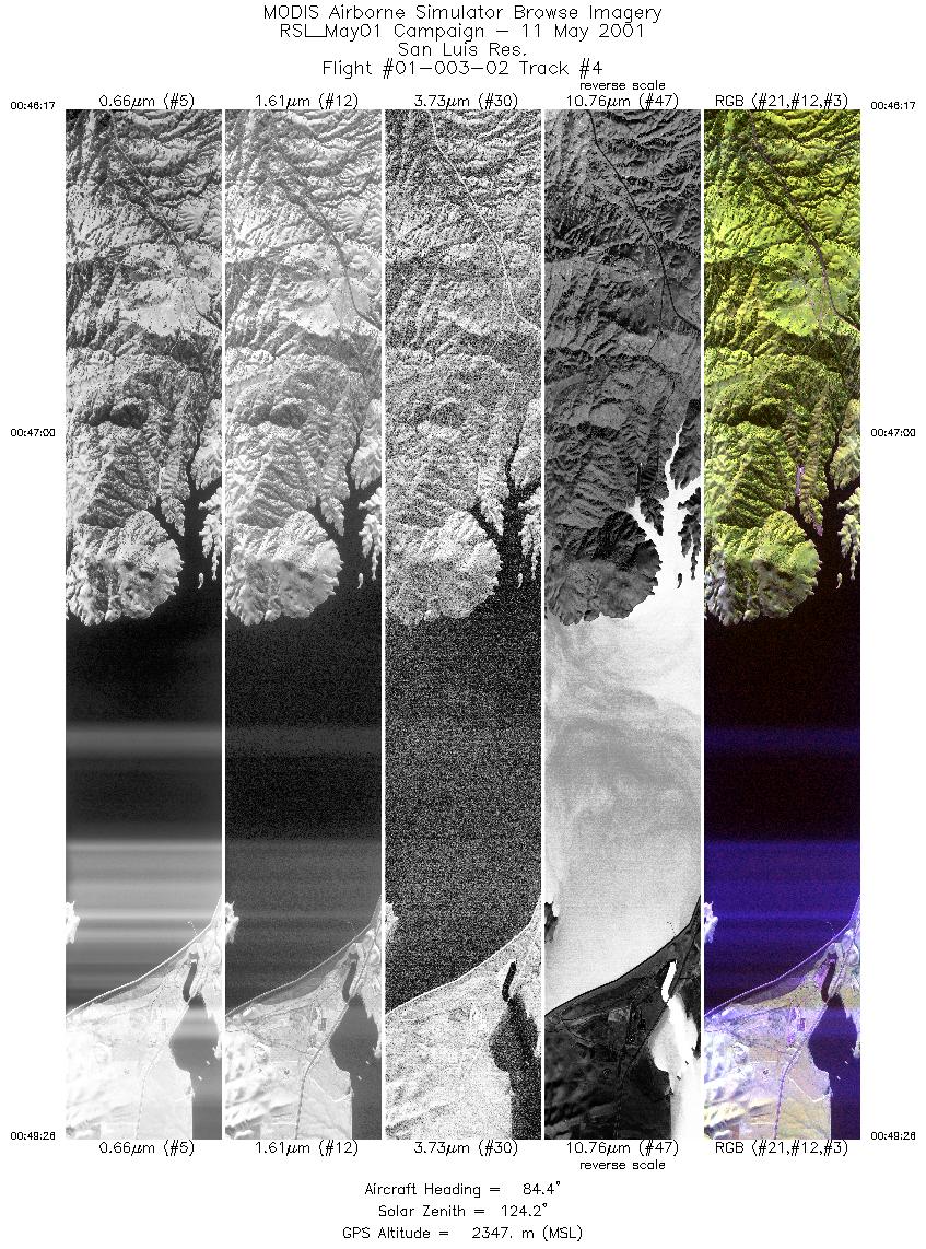
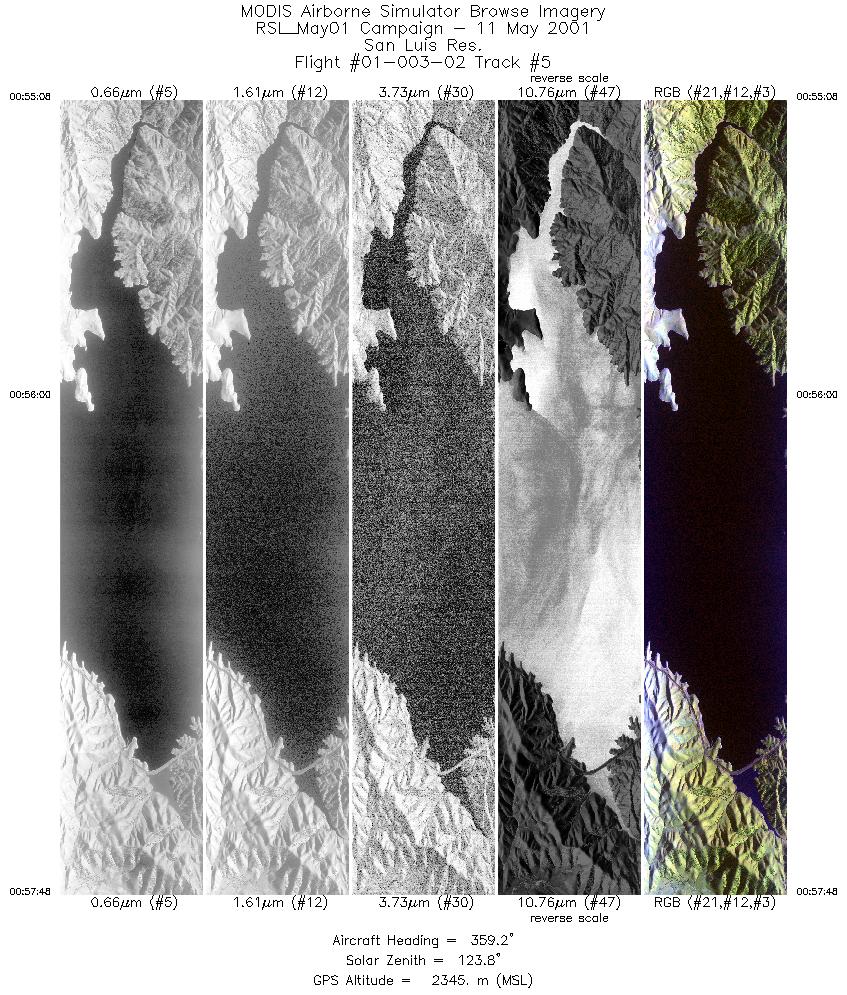
Flight: 01-003-02 Date: May 11, 2001 Aircraft: DOE B-200 Kingair, #798 Deployment: RSL May 2001 Flight Location: Coyote Valley, San Luis Reservoir; California Principal Investigator: FCF Additional Sensors: none |
|||||||||||||||||||||||||||||||||||||||||||||||||||||||||||||||
|
Data Evaluation Timecode generation is 1 second behind actual UTC. Flight data was collected with a low sun angle and a slight haze in the atmosphere. |
|||||||||||||||||||||||||||||||||||||||||||||||||||||||||||||||
|
Processing Information Level-1B Data in HDF format is available Flight Line Summary Spectral Band Configuration Spectral Response Function Table Spectral Response Function (text) |
|||||||||||||||||||||||||||||||||||||||||||||||||||||||||||||||
|
Browse Imagery Flight Tracks: 5 Scanlines: 18656 |
|||||||||||||||||||||||||||||||||||||||||||||||||||||||||||||||
|
|||||||||||||||||||||||||||||||||||||||||||||||||||||||||||||||


