Flight: 00-002-11
Date: June 15, 2000
Aircraft: DOE B-200 Kingair
Deployment: RSL June 2000
Flight Location: San Pedro River Basin (Salsa) AZ
Principal Investigator: Kahle / Schieldge - JPL
Additional Sensors: none
|
Data Evaluation
Overall data quality is good.
All data collected @25Hz
|
Processing Information
Level-1B Data in HDF format is available
Flight Line Summary
Spectral Band Configuration
Spectral Response Function Table
Spectral Response Function (text)
|
Browse Imagery
Flight Tracks: 14
Scanlines: 72035
|
Browse Imagery Table
|
Click a Flight Track number to view a quicklook image
Lat/Lon ranges are for the BEG-END scanline nadir pixels
|
Flight
Track |
Time Span
(UTC) |
Heading
(Deg) |
Lat Range
(Deg N) |
Lon Range
(Deg W) |
Length
(Scanlines) |
Altitude
(Meters) |
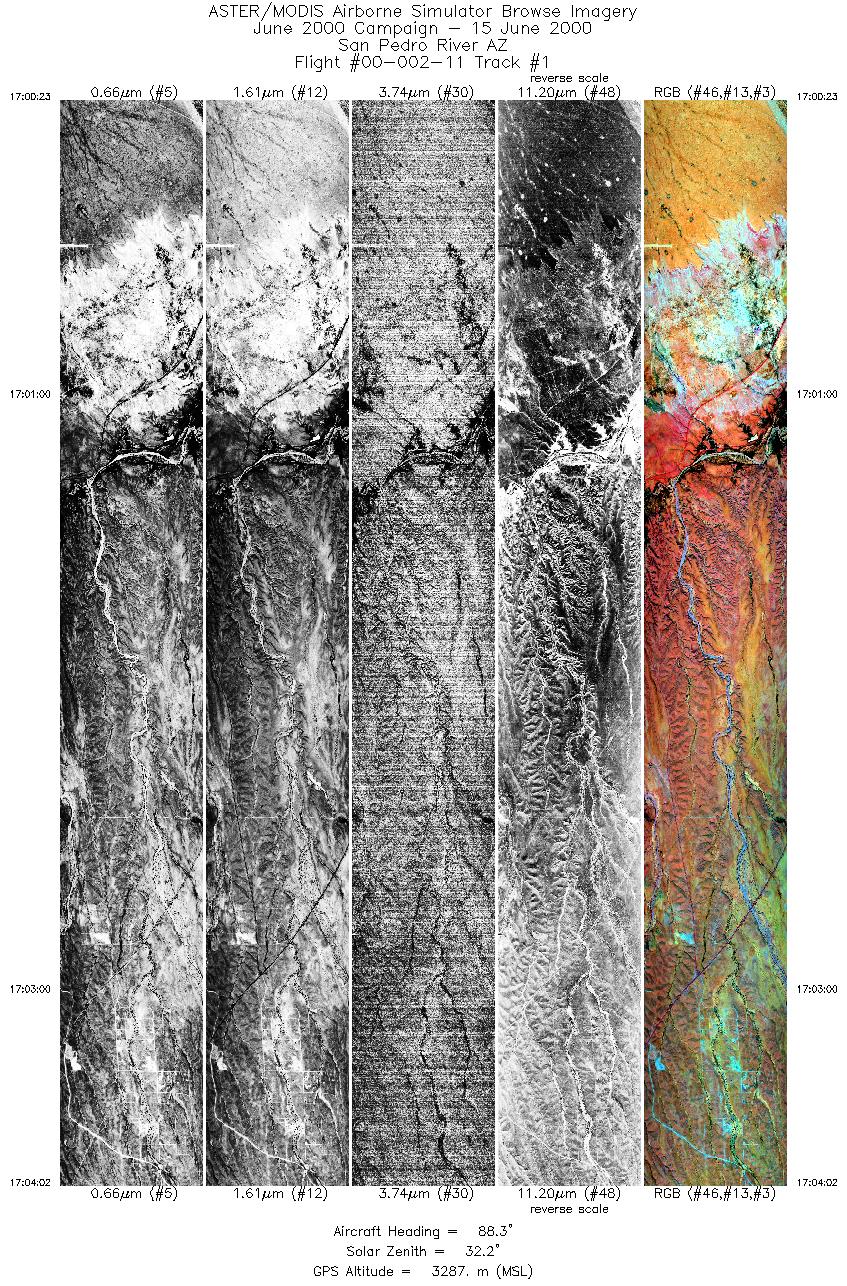
| 1 |
17:00 - 17:04 |
89.4 |
31.760 - 31.750 |
110.278 - 110.055 |
5434 |
3287 |
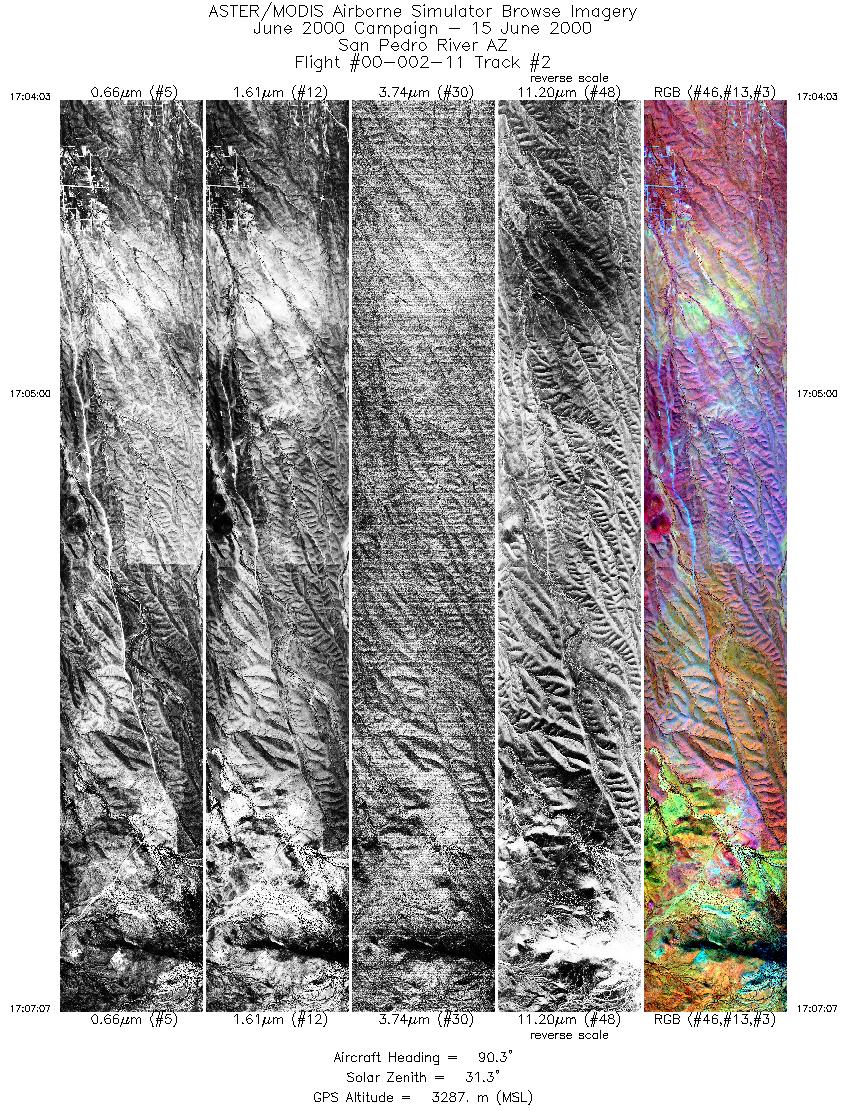
| 2 |
17:04 - 17:07 |
88.8 |
31.750 - 31.742 |
110.053 - 109.867 |
4564 |
3286 |
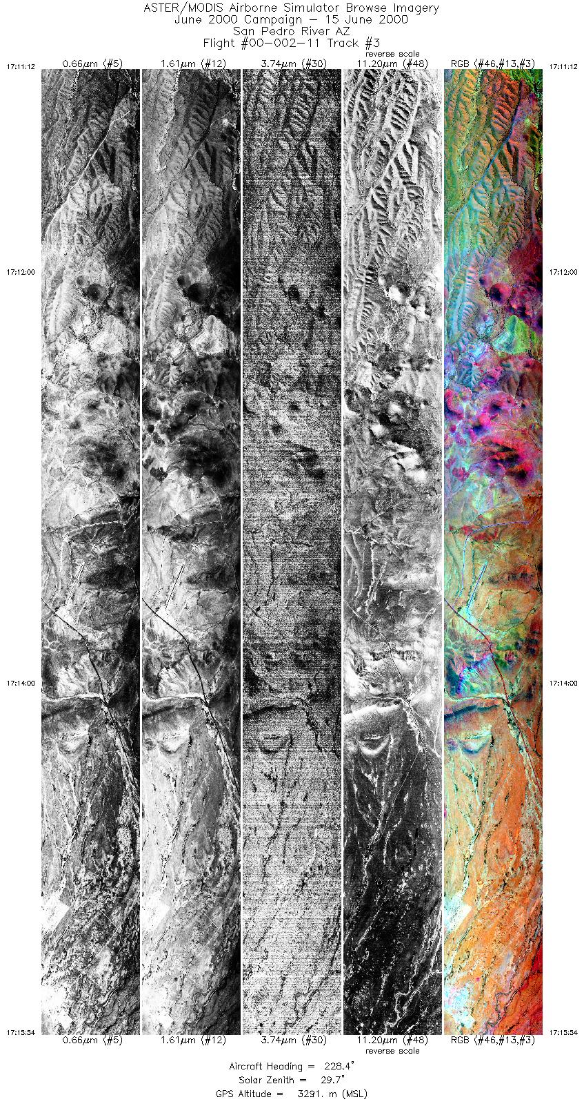
| 3 |
17:11 - 17:15 |
228.7 |
31.763 - 31.585 |
109.904 - 110.118 |
6997 |
3290 |
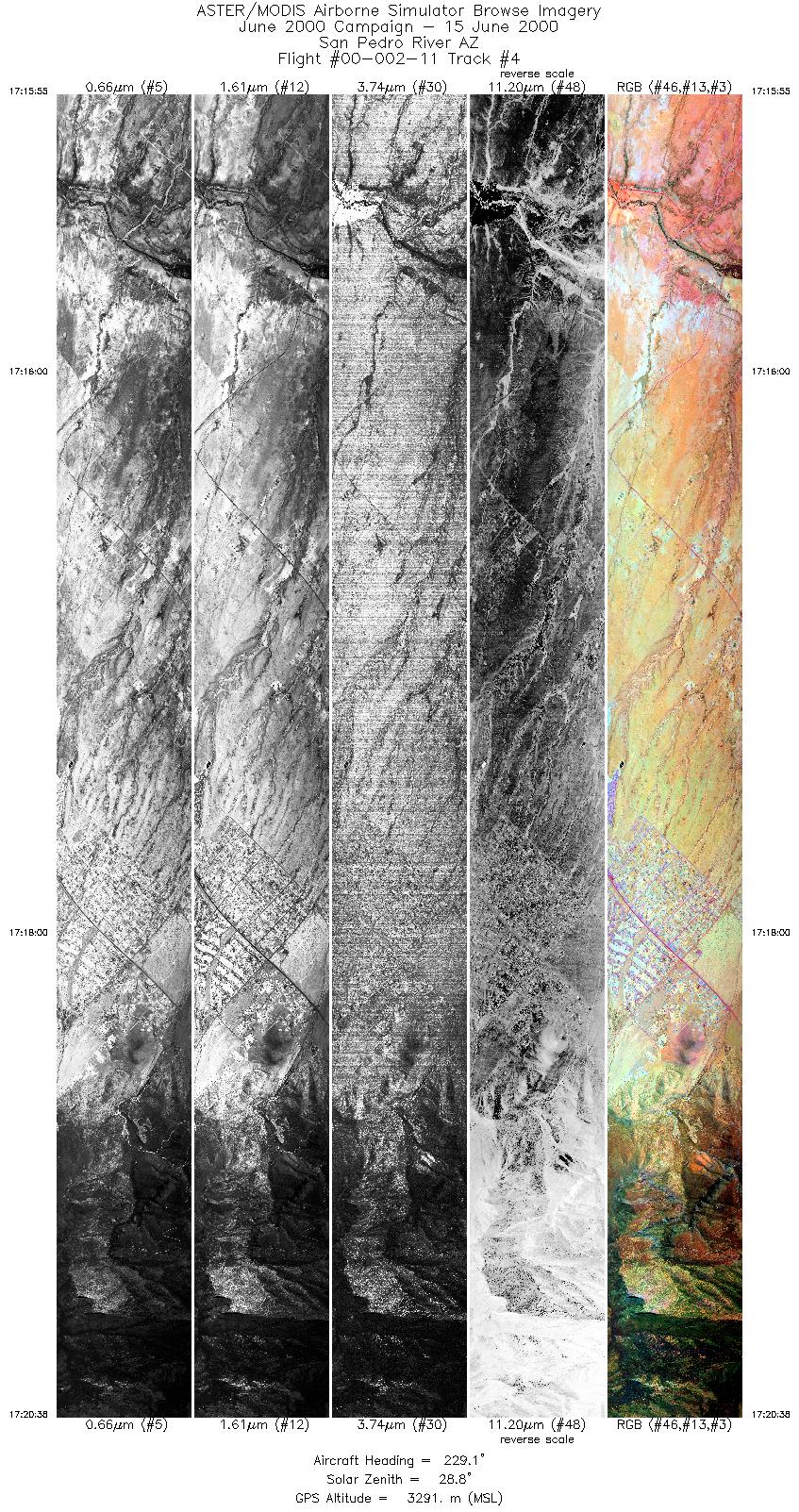
| 4 |
17:15 - 17:20 |
228.1 |
31.584 - 31.407 |
110.119 - 110.332 |
7019 |
3287 |
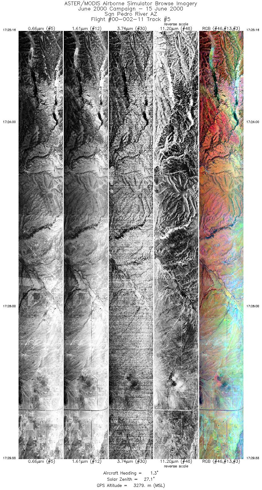
| 5 |
17:25 - 17:29 |
0.4 |
31.511 - 31.751 |
110.517 - 110.517 |
6920 |
3286 |
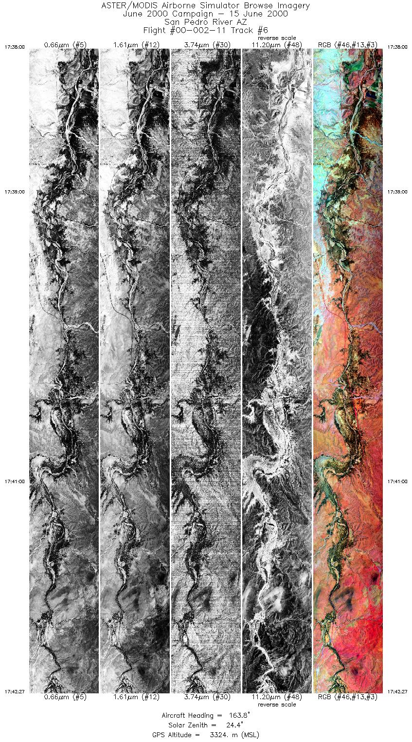
| 6 |
17:38 - 17:42 |
163.8 |
31.848 - 31.608 |
110.226 - 110.160 |
6625 |
3326 |
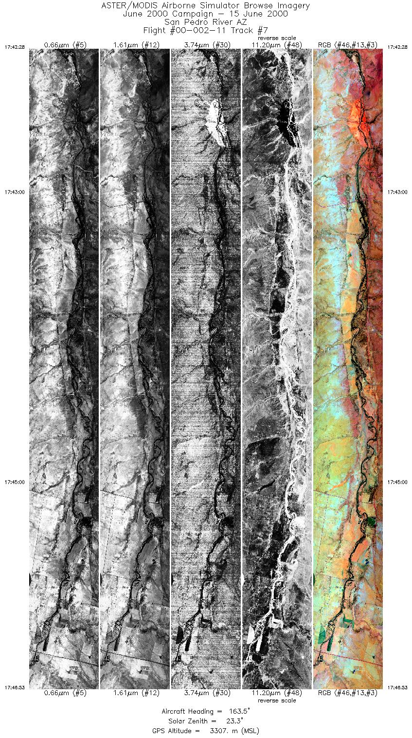
| 7 |
17:42 - 17:46 |
165.6 |
31.608 - 31.368 |
110.159 - 110.093 |
6573 |
3307 |
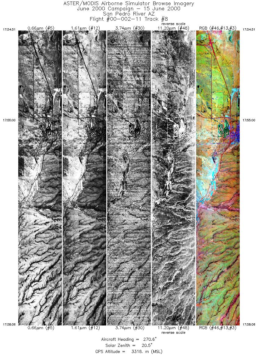
| 8 |
17:54 - 17:58 |
271.6 |
31.347 - 31.347 |
109.879 - 110.075 |
4838 |
3305 |
| 9 |
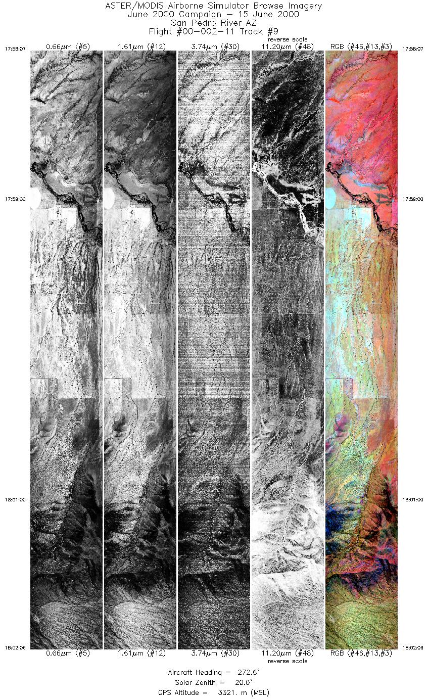
17:58 - 18:02 |
272.1 |
31.347 - 31.347 |
110.076 - 110.319 |
5928 |
3323 |
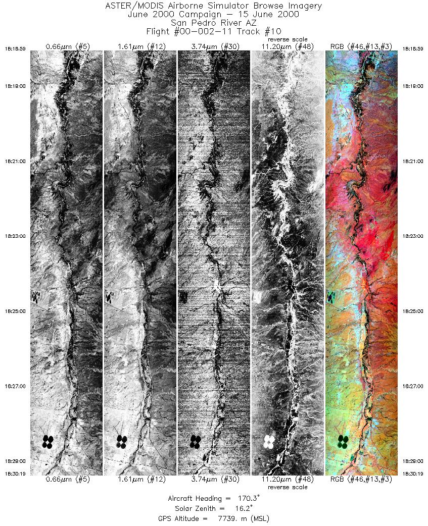
| 10 |
18:18 - 18:30 |
171.1 |
31.844 - 31.369 |
110.224 - 110.093 |
4211 |
7738 |
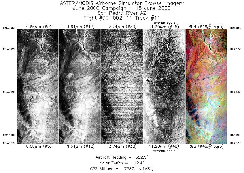
| 11 |
18:39 - 18:45 |
353.6 |
31.521 - 31.753 |
110.517 - 110.517 |
2001 |
7736 |
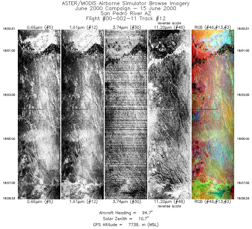
| 12 |
18:50 - 18:58 |
95.2 |
31.760 - 31.742 |
110.263 - 109.865 |
2862 |
7739 |
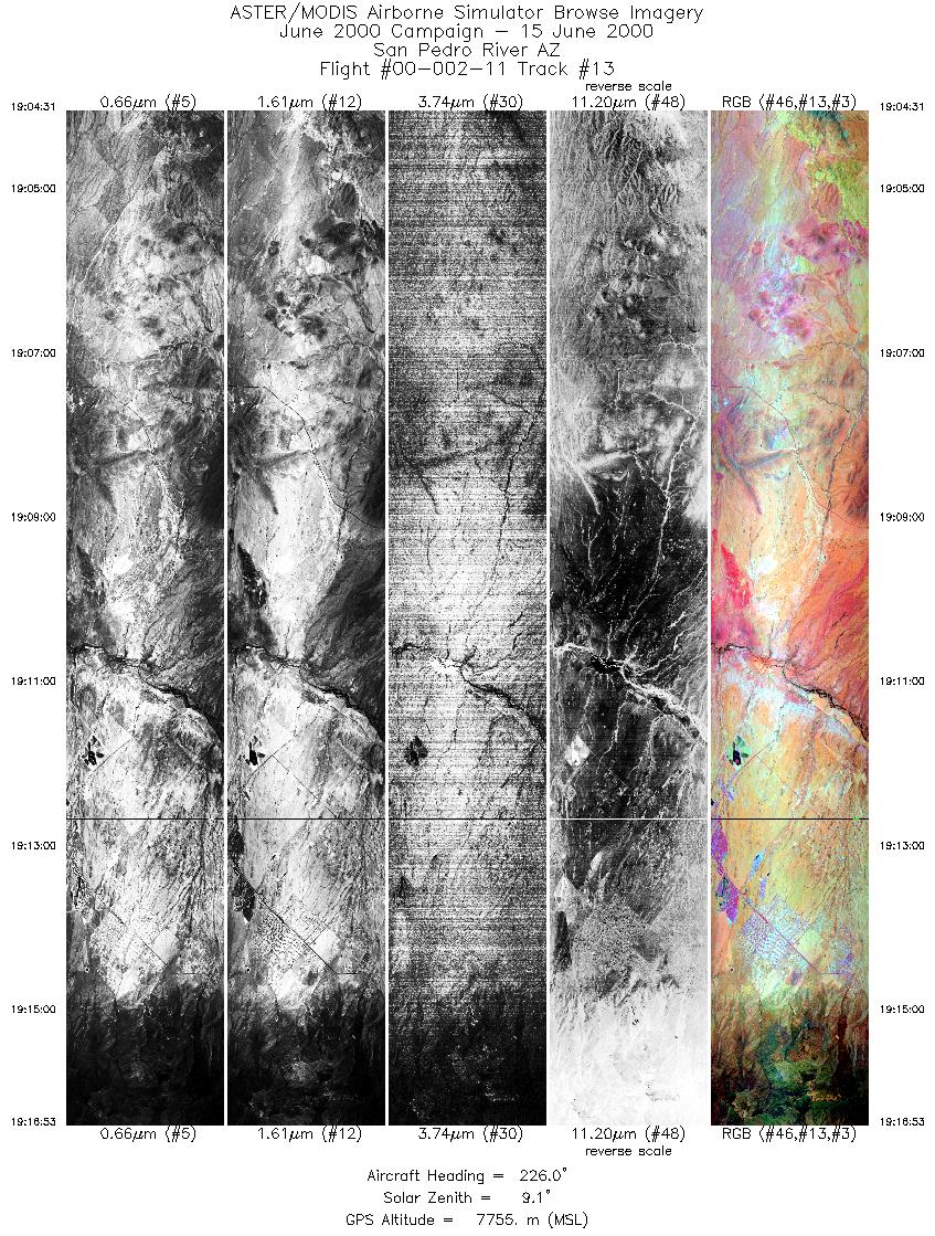
| 13 |
19:04 - 19:16 |
228.1 |
31.772 - 31.406 |
109.892 - 110.334 |
4598 |
7756 |
| 14 |
19:27 - 19:36 |
268.9 |
31.348 - 31.347 |
109.850 - 110.322 |
3465 |
7758 |
|


