


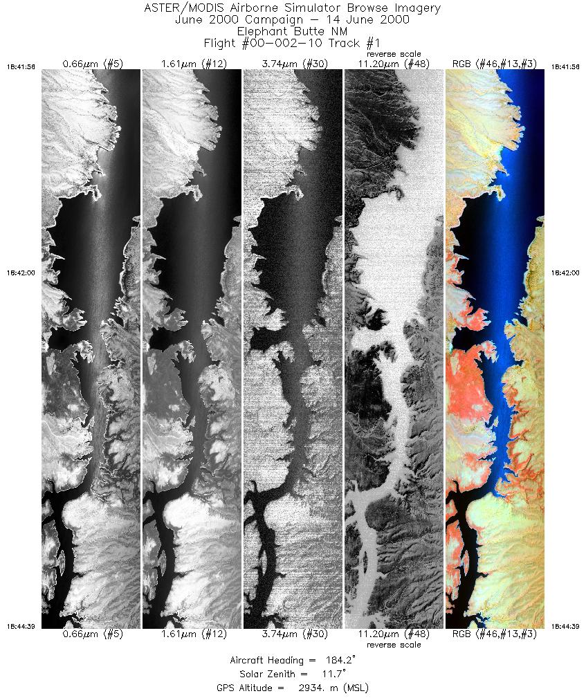
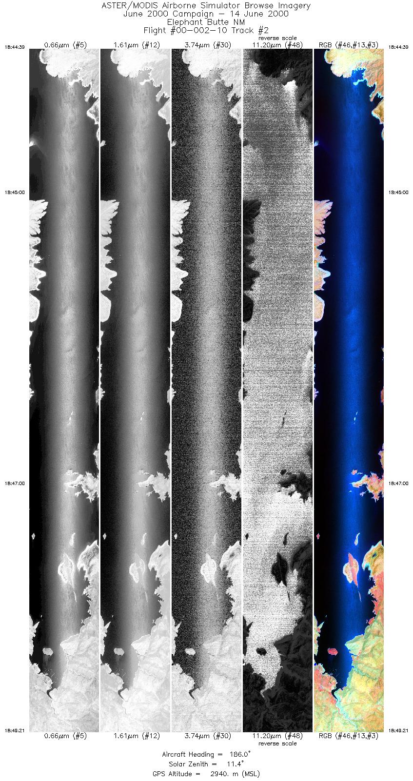
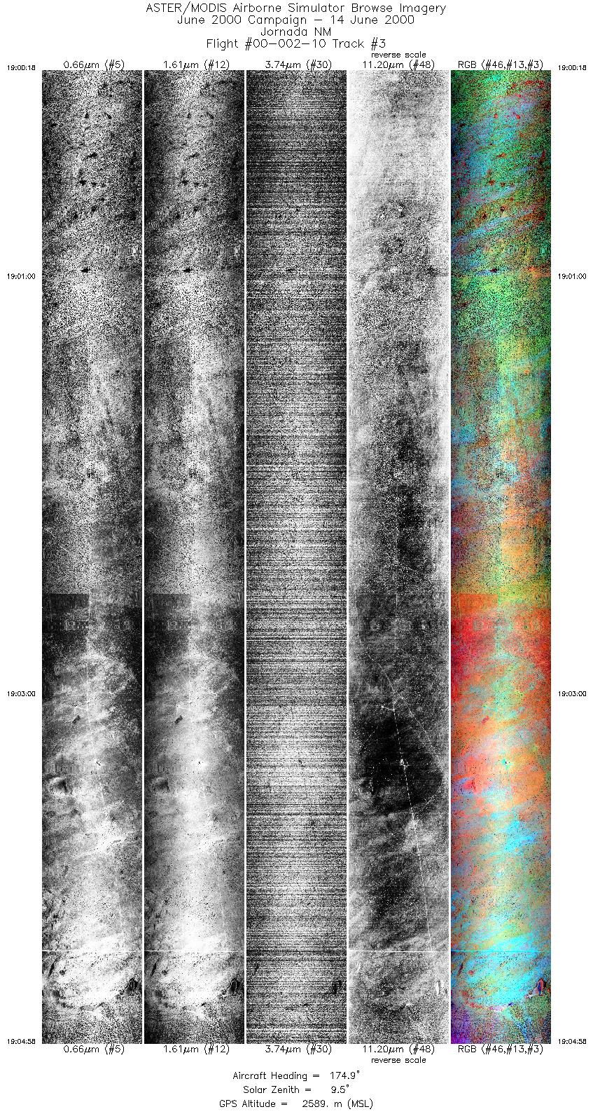
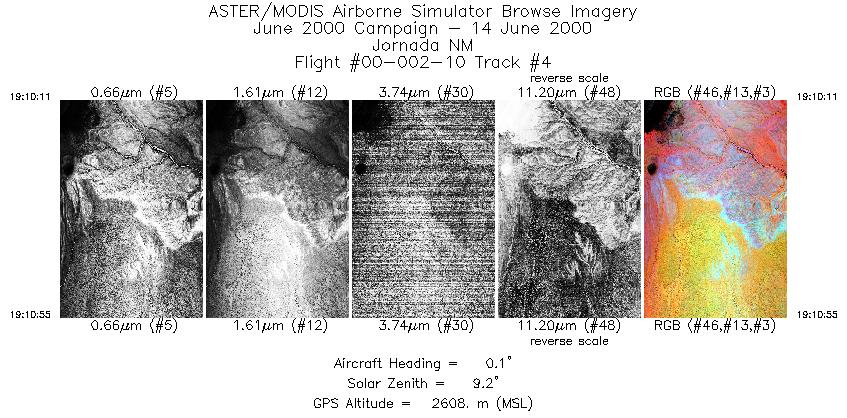
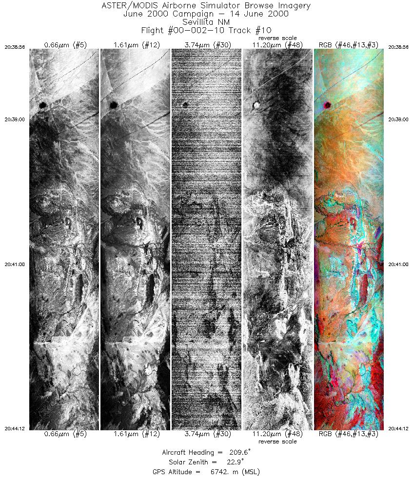
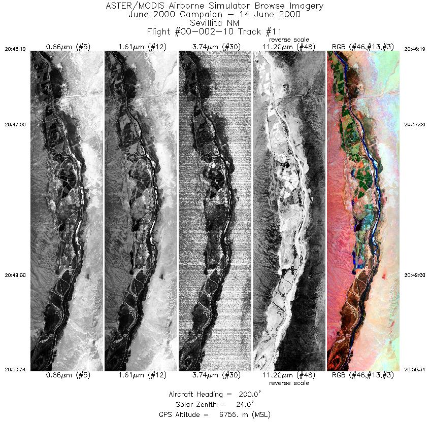
FLIGHT SUMMARY INFORMATION
Flight Track Map


|
Flight: 00-002-10 Date: June 14, 2000 Aircraft: DOE B-200 Kingair Deployment: RSL June 2000 Flight Location: Jornada, NM; Sevillita, NM; Elephant Butte, NM Principal Investigator: Schmugge/Ritchie (USDA) Additional Sensors: RC-30 |
|||||||||||||||||||||||||||||||||||||||||||||||||||||||||||||||||||||||||||||||||||||||||||||||||||||||||
|
Data Evaluation Overall data quality is good. All data collected @25Hz |
|||||||||||||||||||||||||||||||||||||||||||||||||||||||||||||||||||||||||||||||||||||||||||||||||||||||||
|
Processing Information Level-1B Data in HDF format is available Flight Line Summary Spectral Band Configuration Spectral Response Function Table Spectral Response Function (text) |
|||||||||||||||||||||||||||||||||||||||||||||||||||||||||||||||||||||||||||||||||||||||||||||||||||||||||
|
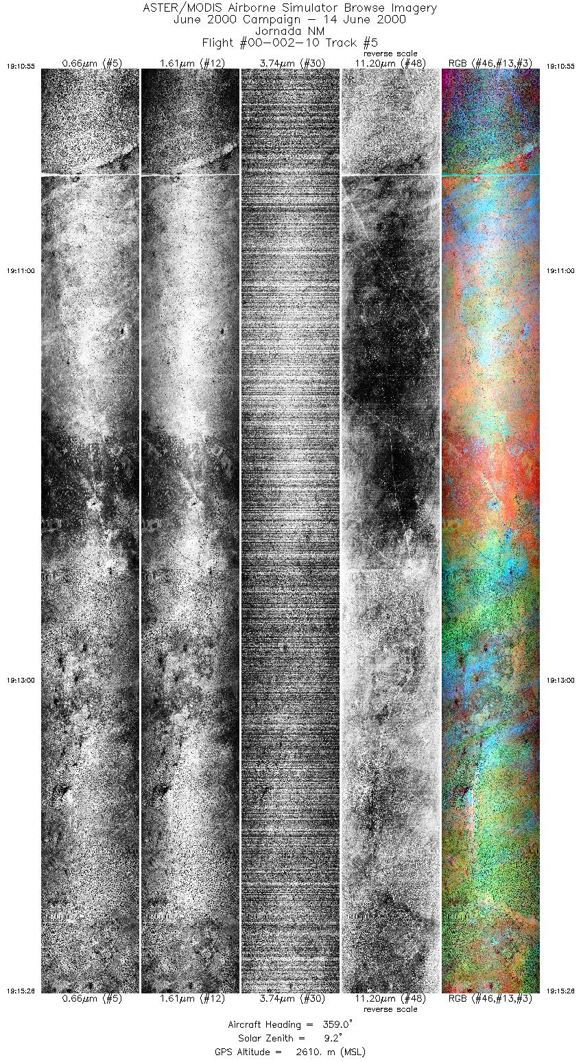
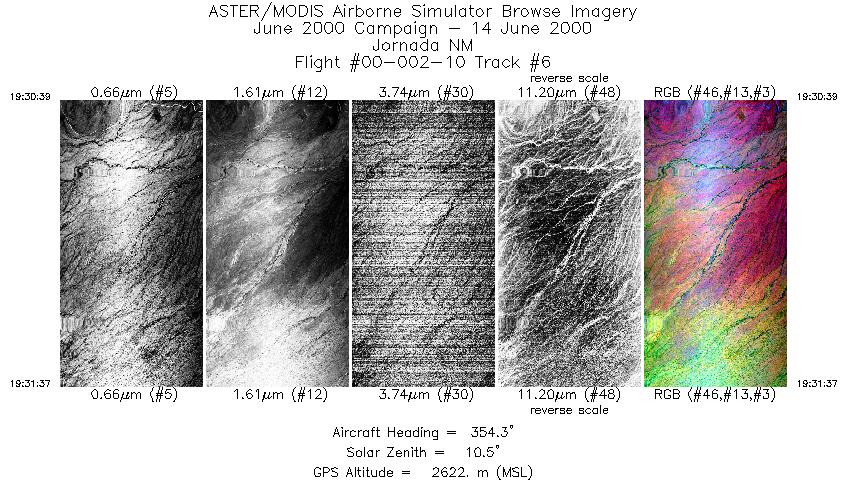
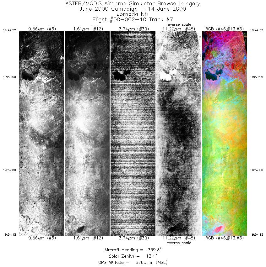
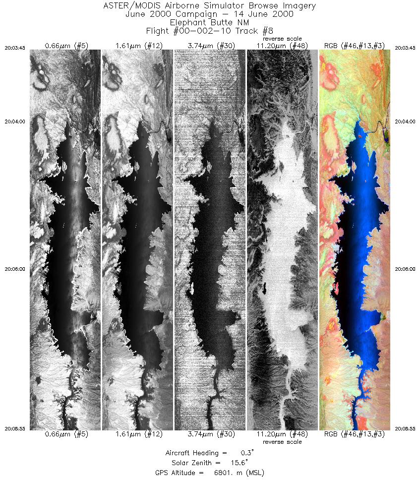
Browse Imagery Flight Tracks: 11 Scanlines: 44956 |
|||||||||||||||||||||||||||||||||||||||||||||||||||||||||||||||||||||||||||||||||||||||||||||||||||||||||
|
|||||||||||||||||||||||||||||||||||||||||||||||||||||||||||||||||||||||||||||||||||||||||||||||||||||||||


