


FLIGHT SUMMARY INFORMATION
Flight Track Map


|
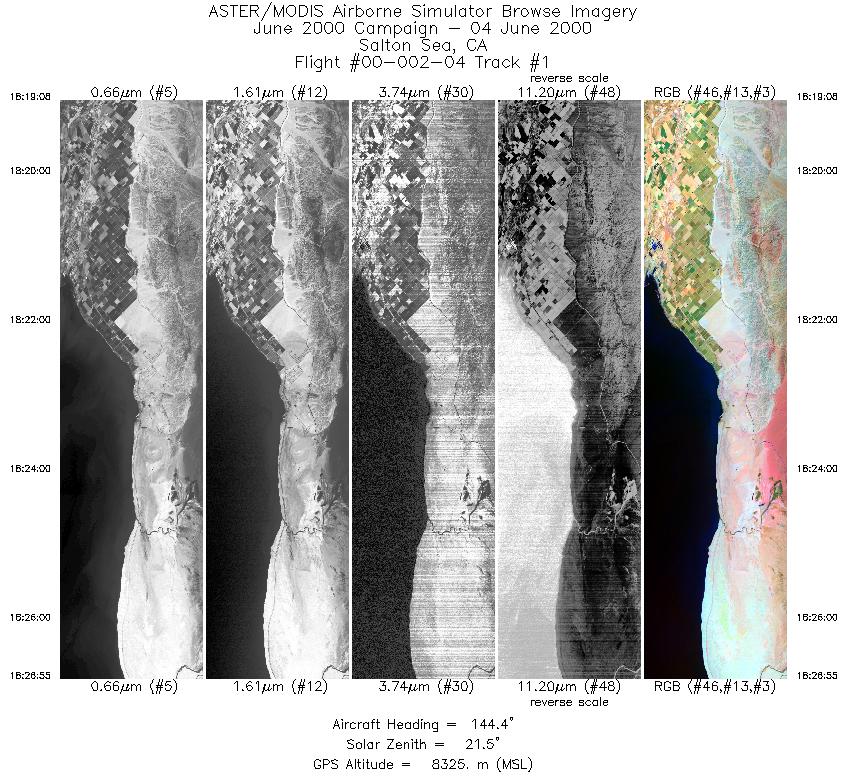
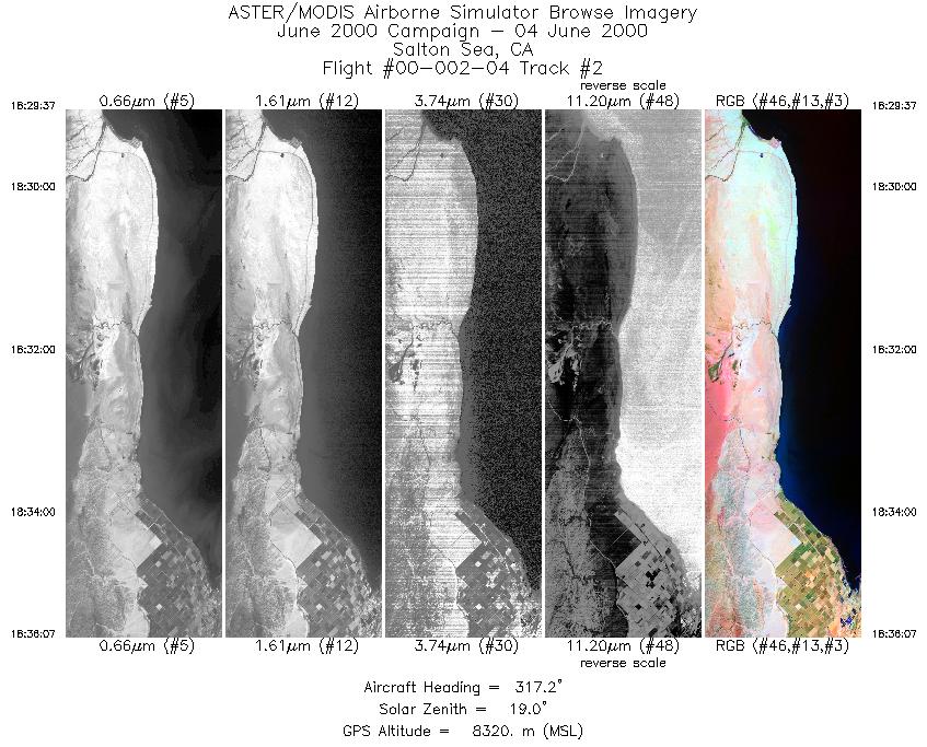
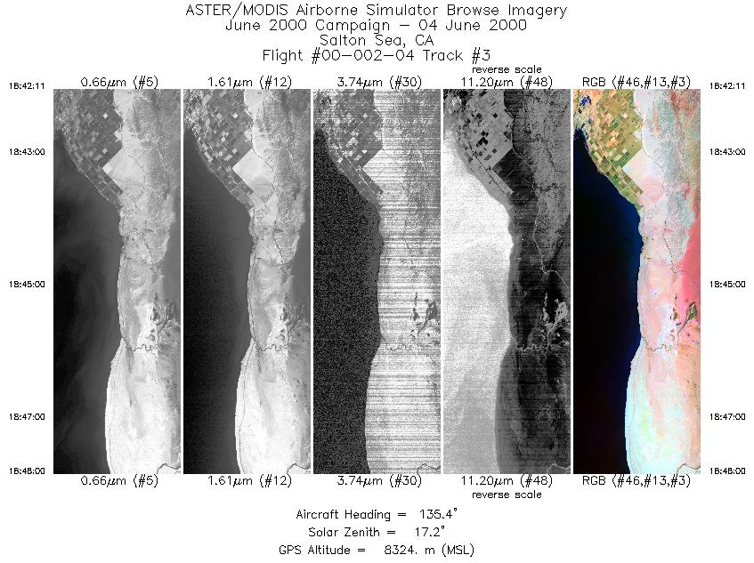
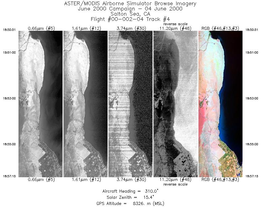
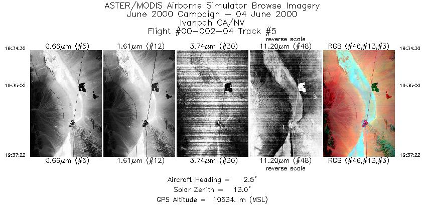
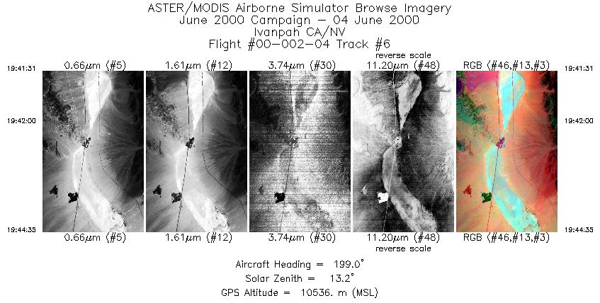
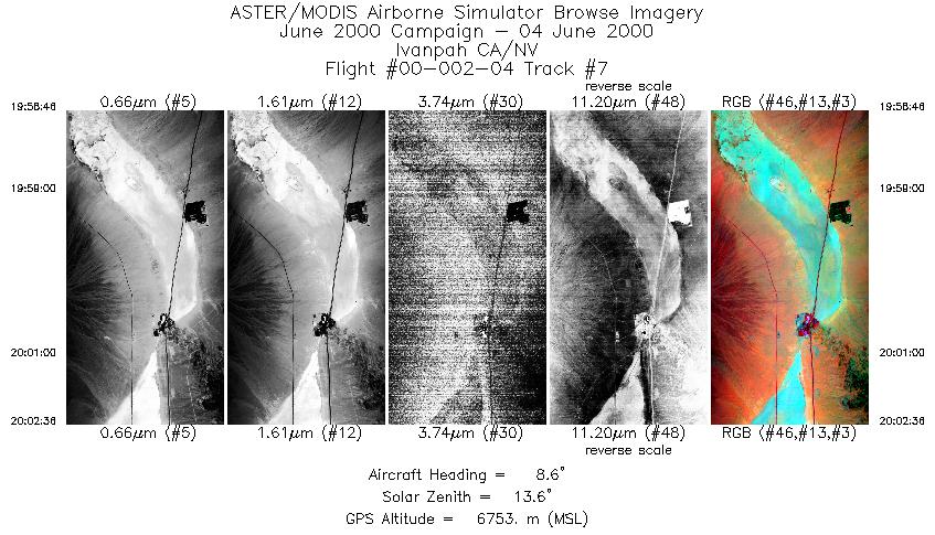
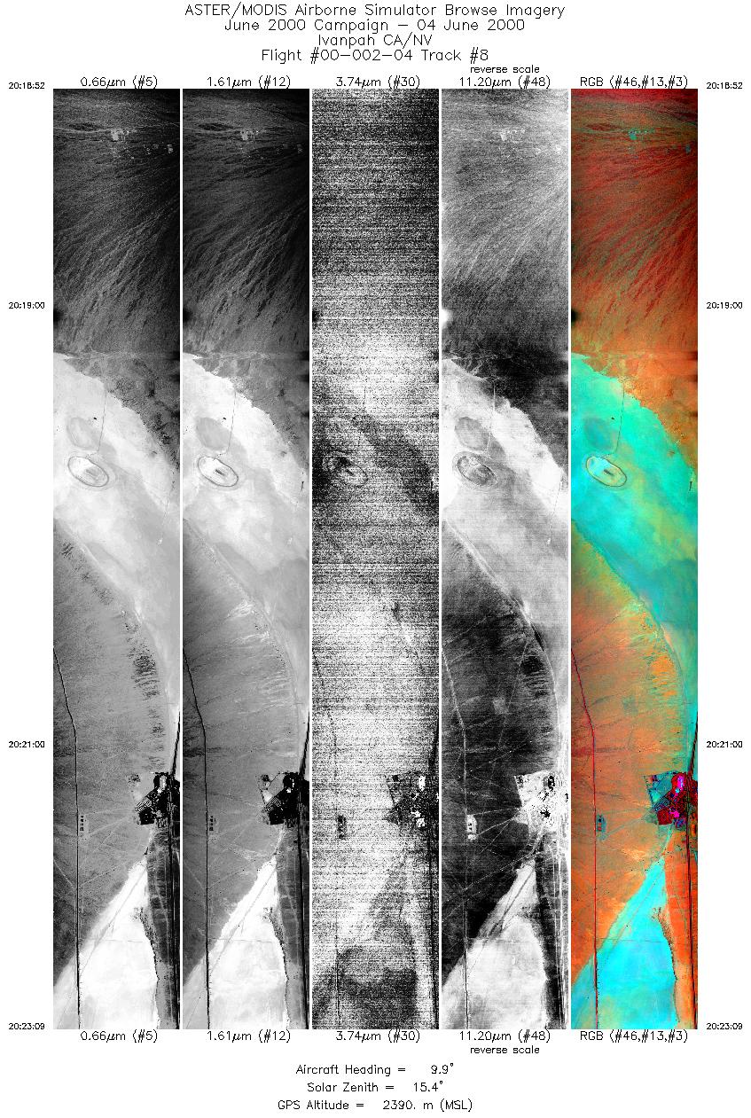
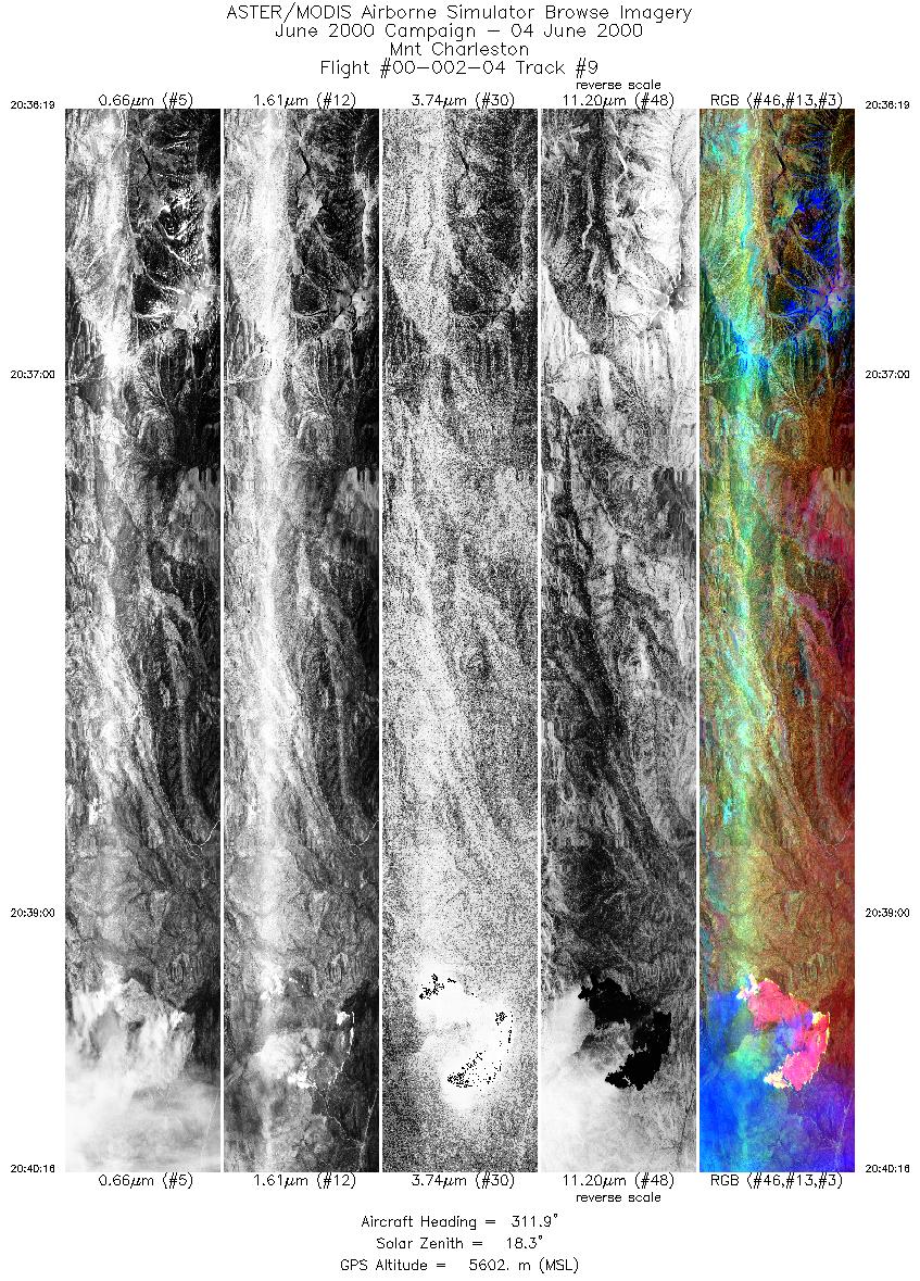
Flight: 00-002-04 Date: June 4, 2000 Aircraft: DOE B-200 Kingair Deployment: RSL June 2000 Flight Location: Salton Sea CA / Ivanpah CA/NV / Mnt Charleston NV Principal Investigator: Palluconi (JPL) / Abbott (JPL) / Myers Additional Sensors: RC-30 |
|||||||||||||||||||||||||||||||||||||||||||||||||||||||||||||||||||||||||||||||||||||||||||
|
Data Evaluation Channel 39 failed midway through flight. Tracks h and i have missing scanlines approximately every 5th line. |
|||||||||||||||||||||||||||||||||||||||||||||||||||||||||||||||||||||||||||||||||||||||||||
|
Processing Information Level-1B Data in HDF format is available Flight Line Summary Spectral Band Configuration Spectral Response Function Table Spectral Response Function (text) |
|||||||||||||||||||||||||||||||||||||||||||||||||||||||||||||||||||||||||||||||||||||||||||
|
Browse Imagery Flight Tracks: 9 Scanlines: 23702 |
|||||||||||||||||||||||||||||||||||||||||||||||||||||||||||||||||||||||||||||||||||||||||||
|
|||||||||||||||||||||||||||||||||||||||||||||||||||||||||||||||||||||||||||||||||||||||||||


