


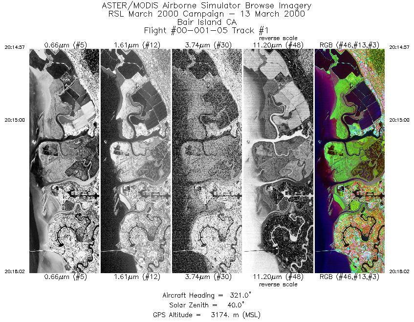
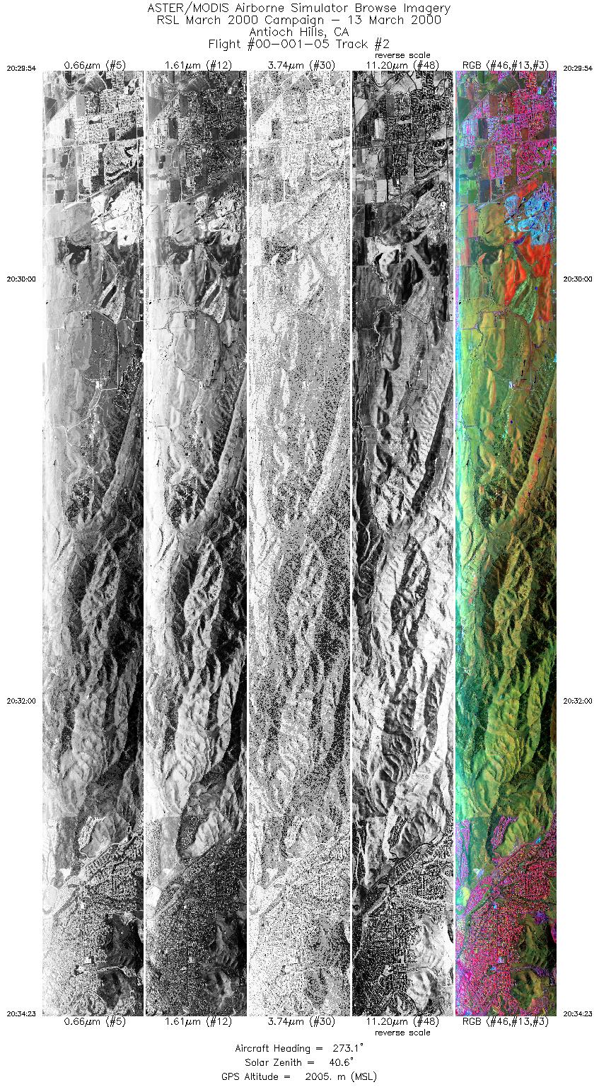
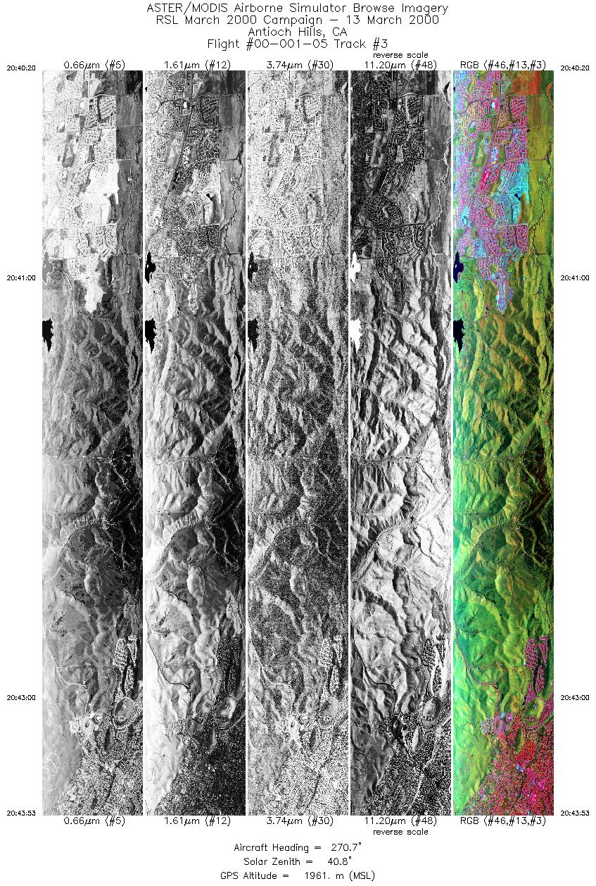
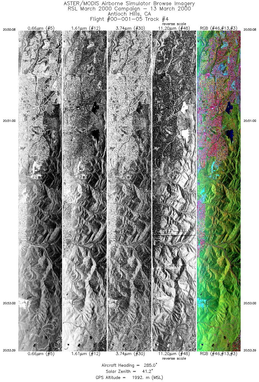
FLIGHT SUMMARY INFORMATION
Flight Track Map


|
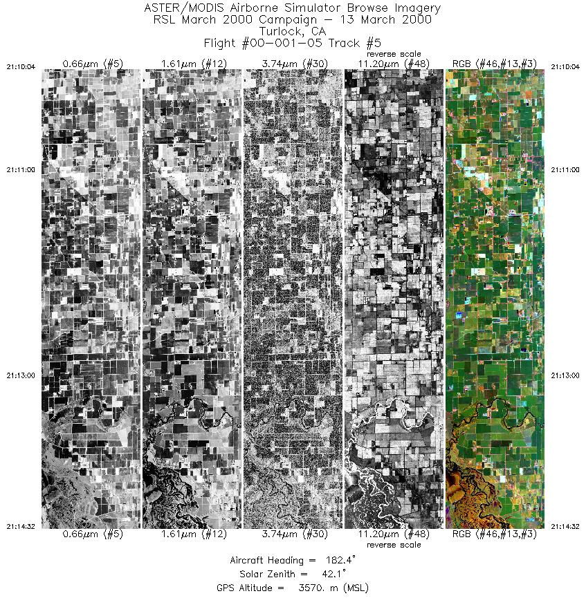
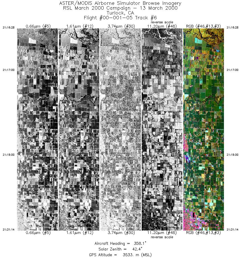
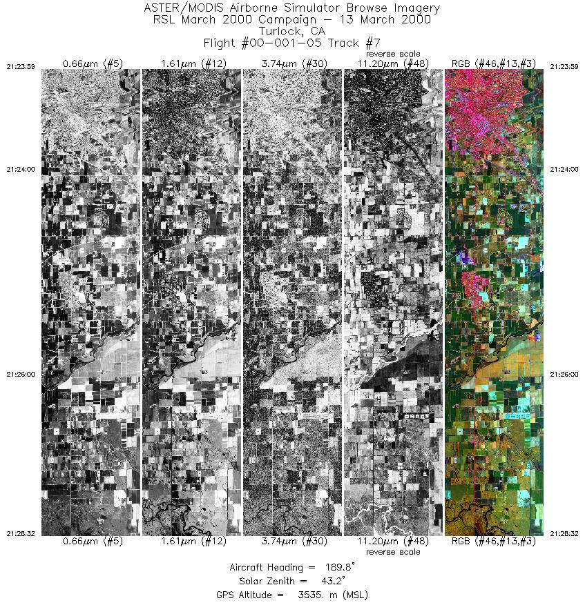
Flight: 00-001-05 Date: March 13, 2000 Aircraft: DOE B-200 Kingair Deployment: RSL March 2000 Flight Location: Bair Island, CA / Antioch Hills, CA / Turlock, CA Principal Investigator: Rothchild (ARC) / Real (CA Dept Mines & Geology) / Baxter (EPA) Additional Sensors: RC-30 |
|||||||||||||||||||||||||||||||||||||||||||||||||||||||||||||||||||||||||||||
|
Data Evaluation In flight 00-001-02 through 00-001-06 a line to line pixel offset occurs throughout the data set. This problem is thought to be due to an error in the sub-pixel (fractional) roll correction from the gyro. |
|||||||||||||||||||||||||||||||||||||||||||||||||||||||||||||||||||||||||||||
|
Processing Information Level-1B Data in HDF format is available Flight Line Summary Spectral Band Configuration Spectral Response Function Table Spectral Response Function (text) |
|||||||||||||||||||||||||||||||||||||||||||||||||||||||||||||||||||||||||||||
|
Browse Imagery Flight Tracks: 7 Scanlines: 29784 |
|||||||||||||||||||||||||||||||||||||||||||||||||||||||||||||||||||||||||||||
|
|||||||||||||||||||||||||||||||||||||||||||||||||||||||||||||||||||||||||||||


