FLIGHT SUMMARY INFORMATION
|
Flight: 17-524-05 Date: 24 July 2017 Location: Lincoln Sea Mission: Russell 40 Campaign: Operation IceBridge 2017 Arctic Melt Principal Investigators: NASA Headquarters Aircraft: NASA 524 HU-25C Guardian (Langley Research Center) Additional Sensors: ATM, FLIR Camera, Headwall, KT-19 |
Imagery Information Frames: 5,374 Frame ID Markers (Google Earth is needed to view KMZ files) The KMZ format is a compressed Keyhole Markup Language (KML) file that is used to display geographic data in an Earth browser, such as Google Earth, and many other applications. KML files are used to pinpoint locations, add image overlays, and expose rich data in new ways. KML is an international standard maintained by the Open Geospatial Consortium. |
|
Data Distribution NSIDC Level-1B Imagery Archive NSIDC Raw Imagery Archive |
|
Related Web Sites Operation IceBridge Home Page National Snow and Ice Data Center Airborne Science Program |

Flight 17-524-05
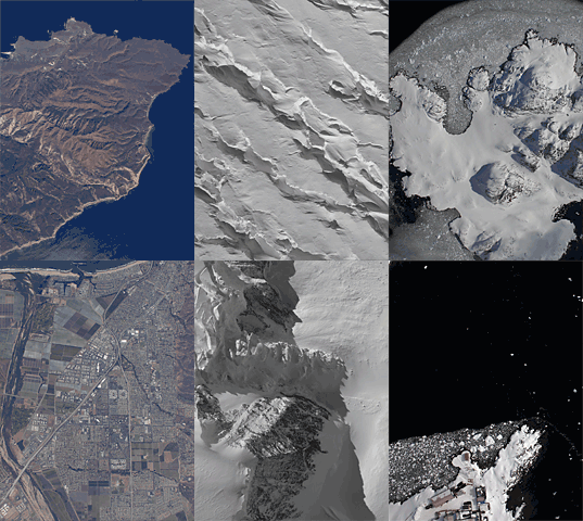
Sample Imagery

These images are from Operation IceBridge, collected in the Fall of 2009.
- NASA Official: Matt Fladeland
- Project Manager: James Jacobson
- Website Editor: Eric Fraim
- Last Updated: March 21, 2024


