


CAMPAIGN INFORMATION
|
Operation IceBridge 2012 Greenland Dates: 12 March - 25 May, 2012 Location: Greenland / Arctic Ocean Principal Investigators: NASA Headquarters / John Arvesen Aircraft: NASA 426 P3-B Orion (Wallops Flight Facility) Additional Sensors: ATM, AirGrav, KT-19, KU/Snow/Accumulation, Magnetometer, MCoRDS Objective: Operation IceBridge, a multi-year NASA field campaign, is the largest airborne survey of Earth's polar ice ever flown. It will yield an unprecedented three-dimensional view of Arctic and Antarctic ice sheets, ice shelves and sea ice. |
|
Processing Information Science Flights: 37 Total Frames Processed: 590,527 Frame Overlap: 60% - 80% Status: Level-1B imagery is available, see individual missions for details. |
|
Level-1B Data Distribution NSIDC Level-1B Imagery Archive NSIDC Raw Imagery Archive |
|
Related Web Sites Operation IceBridge Home Page National Snow and Ice Data Center Airborne Science Program |
 Flight: 12-426-02
 Flight: 12-426-04
 Flight: 12-426-05
 Flight: 12-426-06
 Flight: 12-426-07
 Flight: 12-426-08
 Flight: 12-426-09
 Flight: 12-426-10
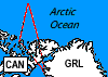 Flight: 12-426-11
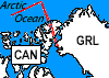 Flight: 12-426-12
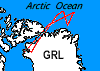 Flight: 12-426-13
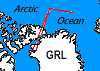 Flight: 12-426-14
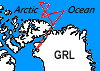 Flight: 12-426-15
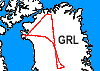 Flight: 12-426-16
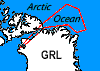 Flight: 12-426-17
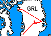 Flight: 12-426-18
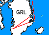 Flight: 12-426-19
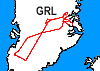 Flight: 12-426-20
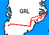 Flight: 12-426-21
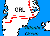 Flight: 12-426-22
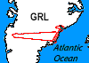 Flight: 12-426-23
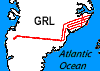 Flight: 12-426-24
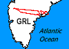 Flight: 12-426-25
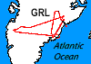 Flight: 12-426-26
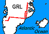 Flight: 12-426-27
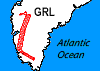 Flight: 12-426-28
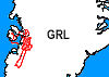 Flight: 12-426-29
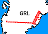 Flight: 12-426-30
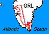 Flight: 12-426-31
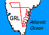 Flight: 12-426-32
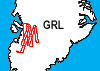 Flight: 12-426-33
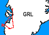 Flight: 12-426-34
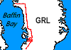 Flight: 12-426-35
 Flight: 12-426-36
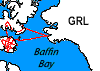 Flight: 12-426-37
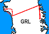 Flight: 12-426-38
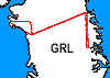 Flight: 12-426-39
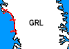 Flight: 12-426-40
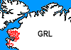 Flight: 12-426-41
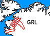 Flight: 12-426-42
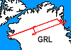 Flight: 12-426-43
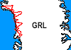 Flight: 12-426-44
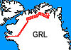 Flight: 12-426-45
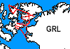 Flight: 12-426-46
Operation
IceBridge 2012


| Sample Imagery |
| Click image for full resolution |
|
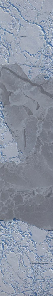
Flight: 12-426-07 Chukchi Sea |
|
|
R: 0.65µm G: 0.55µm B: 0.45µm |
- NASA Official: Matt Fladeland
- Project Manager: James Jacobson
- Website Editor: Eric Fraim
- Last Updated: March 21, 2024