


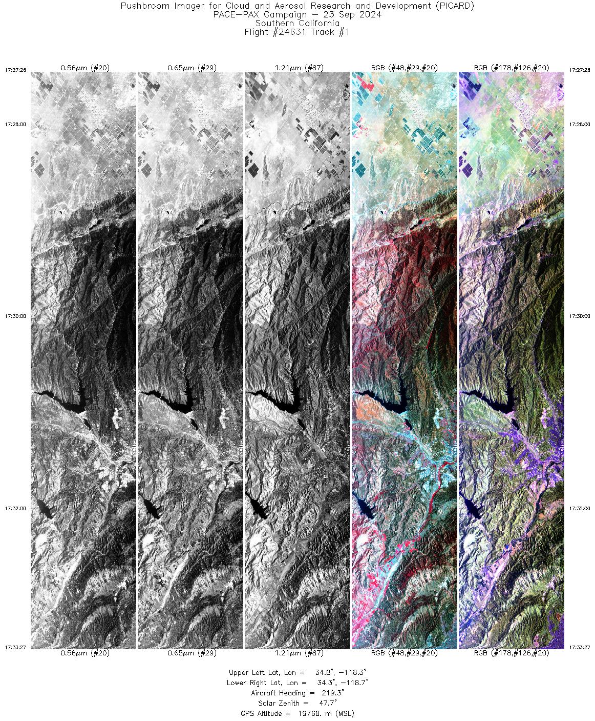
FLIGHT SUMMARY INFORMATION
Flight Track Map


|
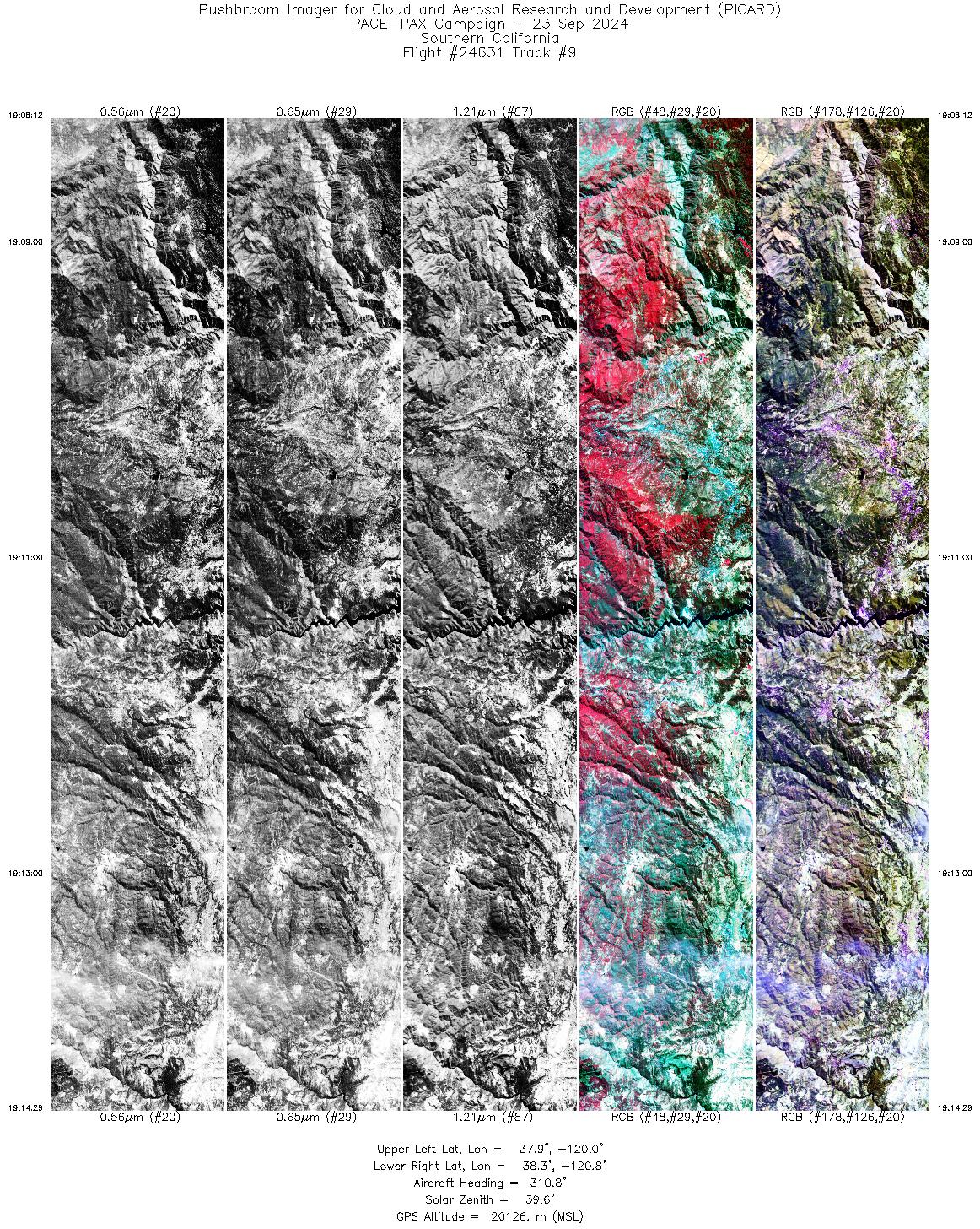
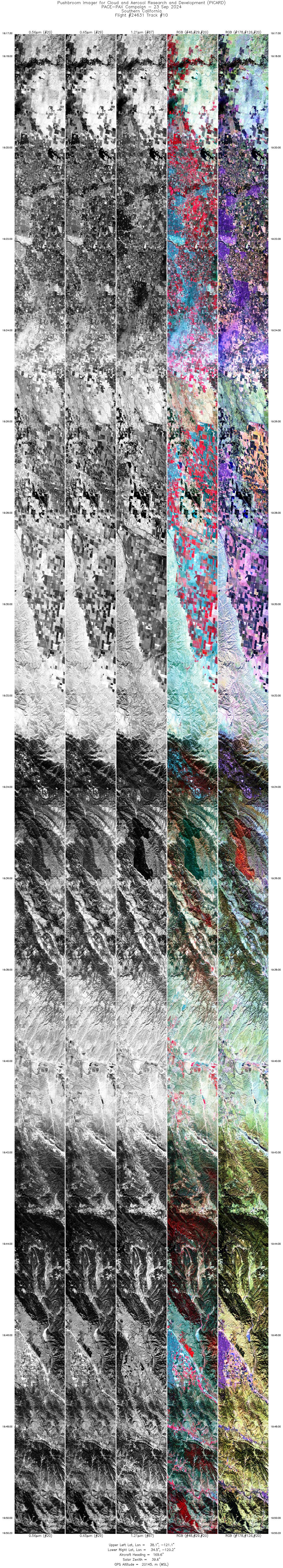
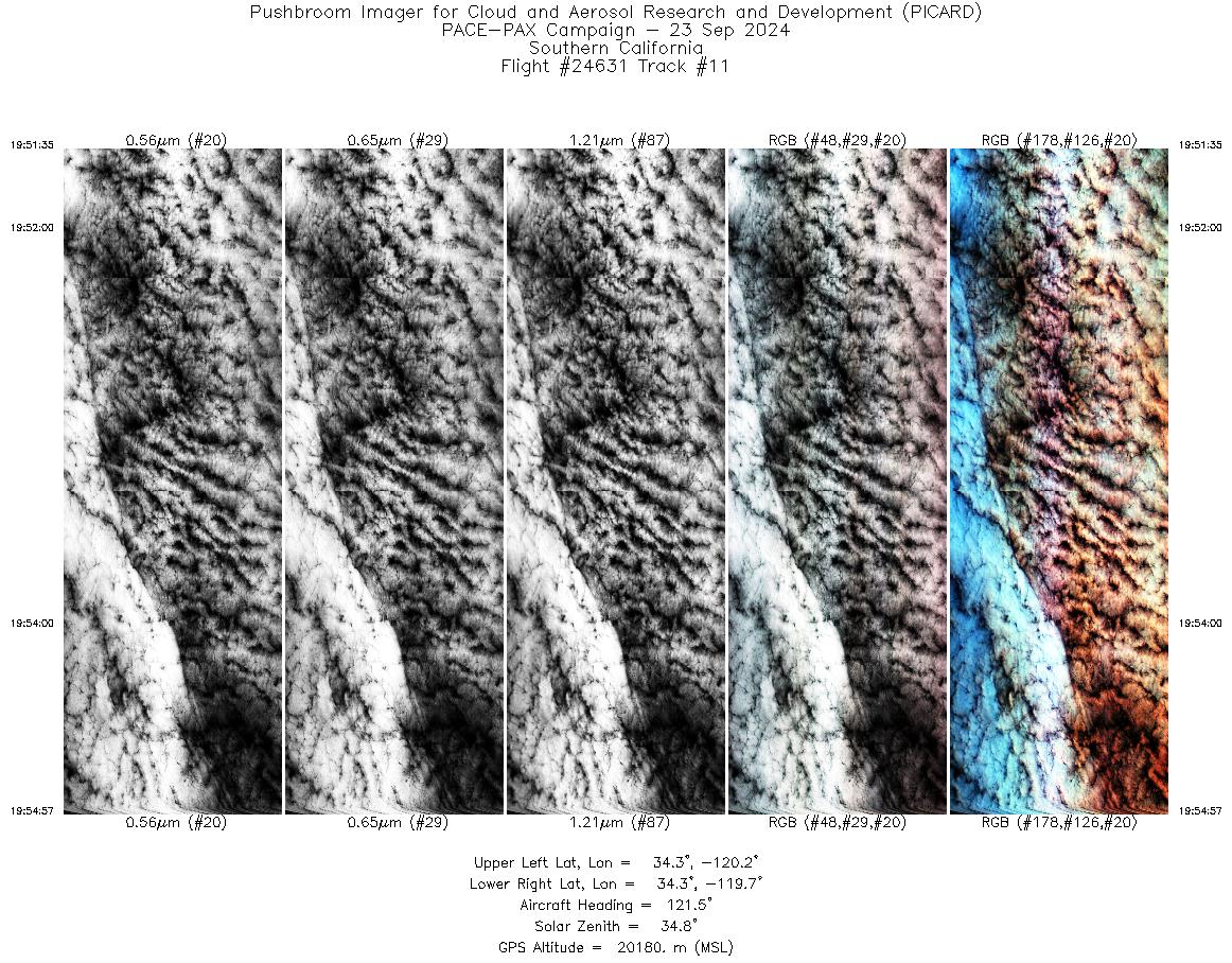
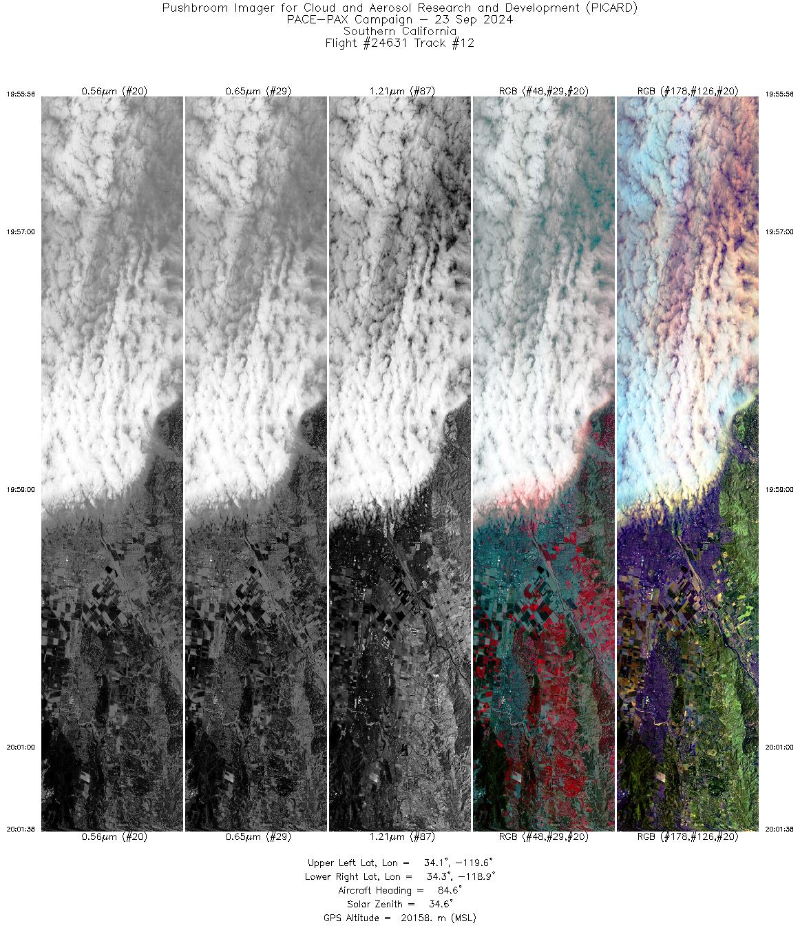
Flight: 24-631 / RF0923 Date: 23 Sep 2024 Aircraft: ER-2 #806 Deployment: PACE-PAX Flight Location: Southwestern USA / Pacific Ocean Principal Investigators: Knobelspiesse / Cairns / Cetinić (GSFC) Additional Sensors: AirHARP / PRISM / SPEX / HSRL-2 / RSP |
||||||||||||||||||||||||||||||||||||||||||||||||||||||||||||||||||||||||||||||||||||||||||||||||||||||||||||||||
|
Data Evaluation Overall quality is good PACE Underpass @ 20:25 UTC EarthCARE Underpass @ 21:54 UTC RR Valley overpass @ 21:07 UTC Twin Otter overpasses @ 18:21 / 18:45 / 19:22 UTC RV Shearwater overpass @ 19:56 UTC |
||||||||||||||||||||||||||||||||||||||||||||||||||||||||||||||||||||||||||||||||||||||||||||||||||||||||||||||||
|
Processing Information Level-1B Data Available |
||||||||||||||||||||||||||||||||||||||||||||||||||||||||||||||||||||||||||||||||||||||||||||||||||||||||||||||||
|
Browse Imagery Flight Tracks: 18 Frames: 101740 |
||||||||||||||||||||||||||||||||||||||||||||||||||||||||||||||||||||||||||||||||||||||||||||||||||||||||||||||||
|
||||||||||||||||||||||||||||||||||||||||||||||||||||||||||||||||||||||||||||||||||||||||||||||||||||||||||||||||

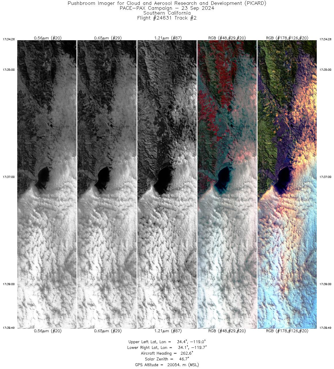
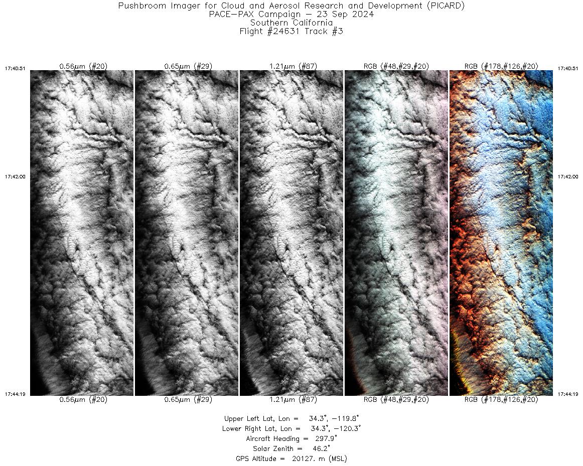
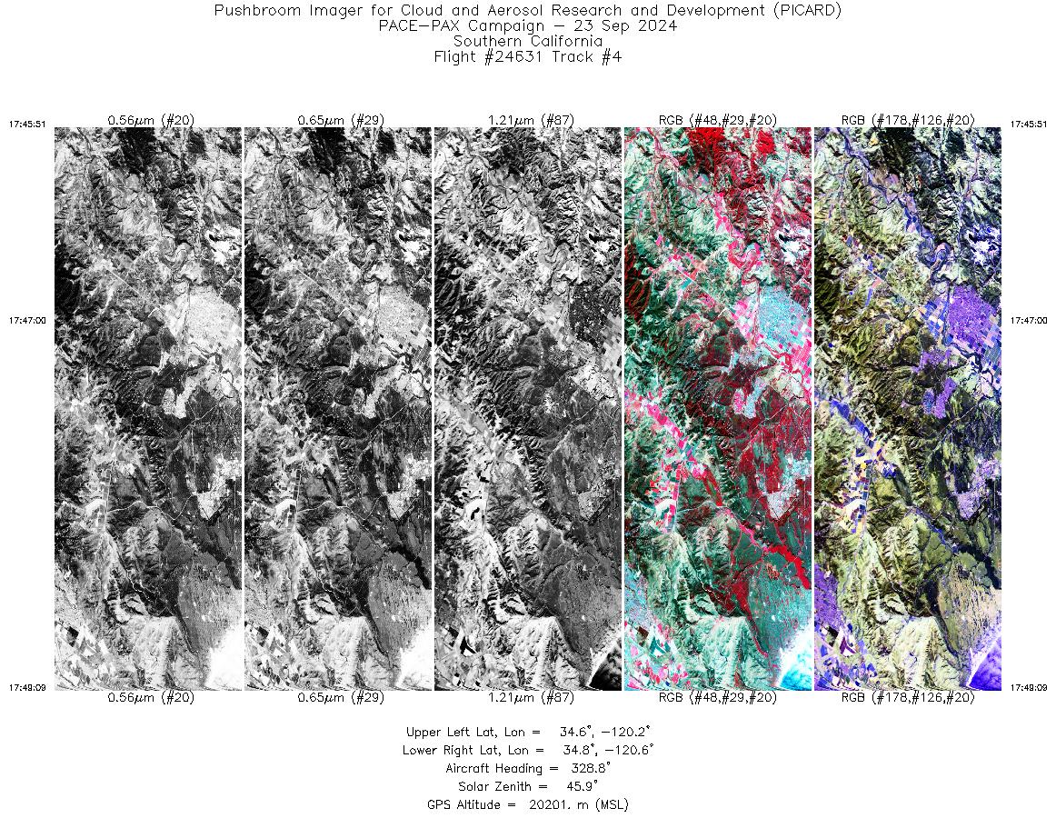
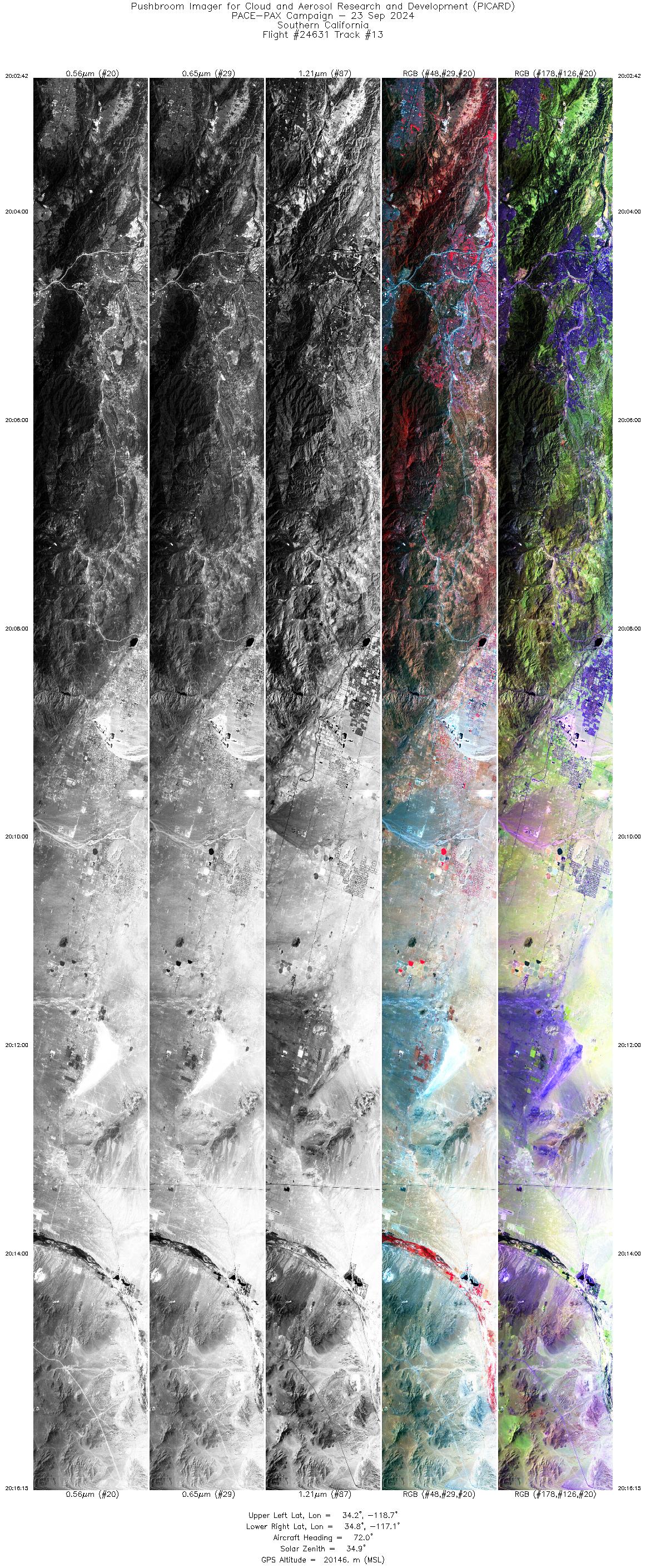
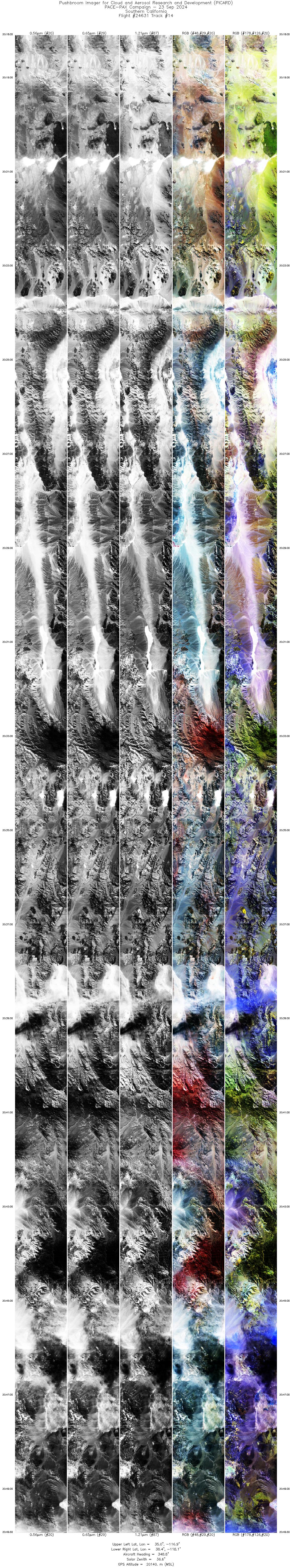
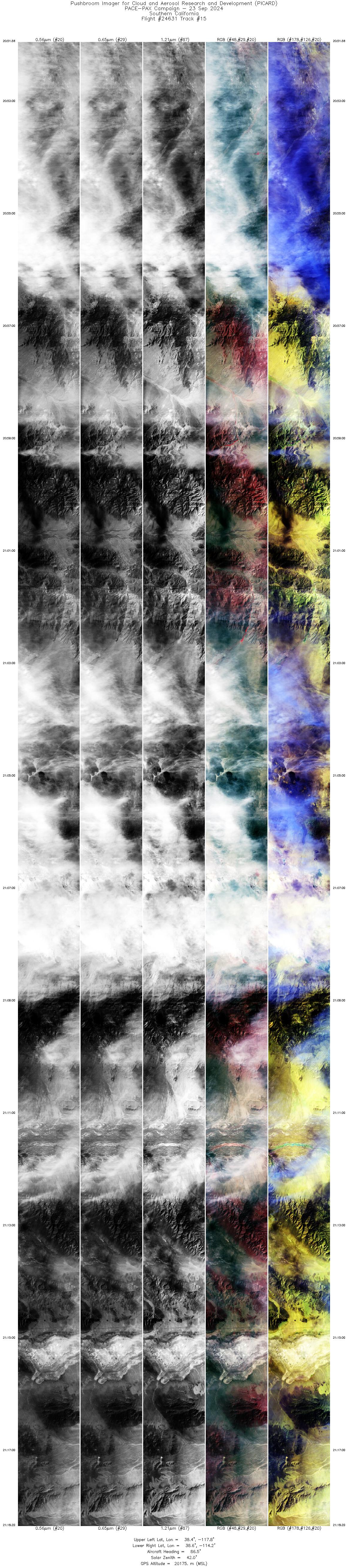
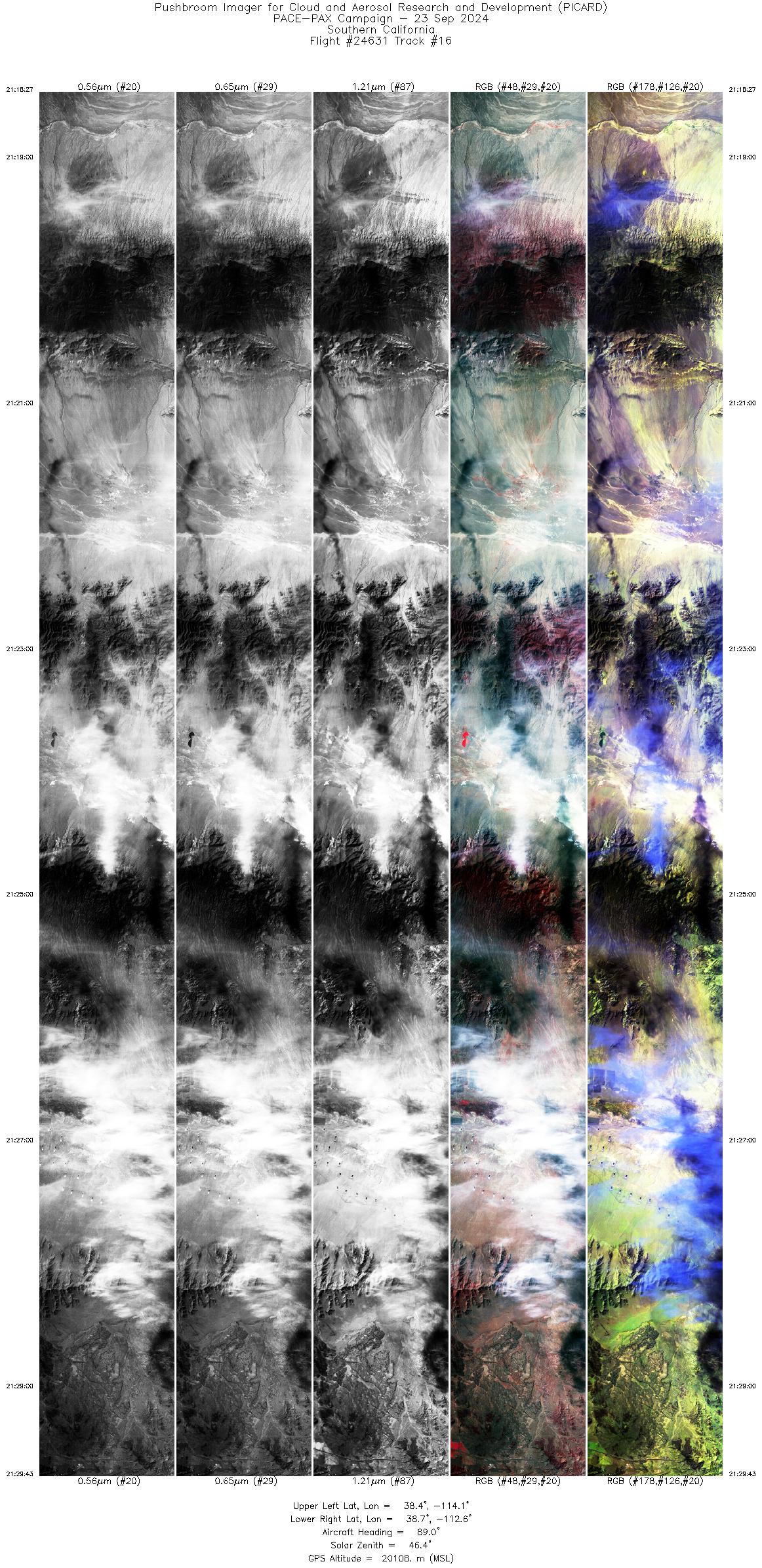
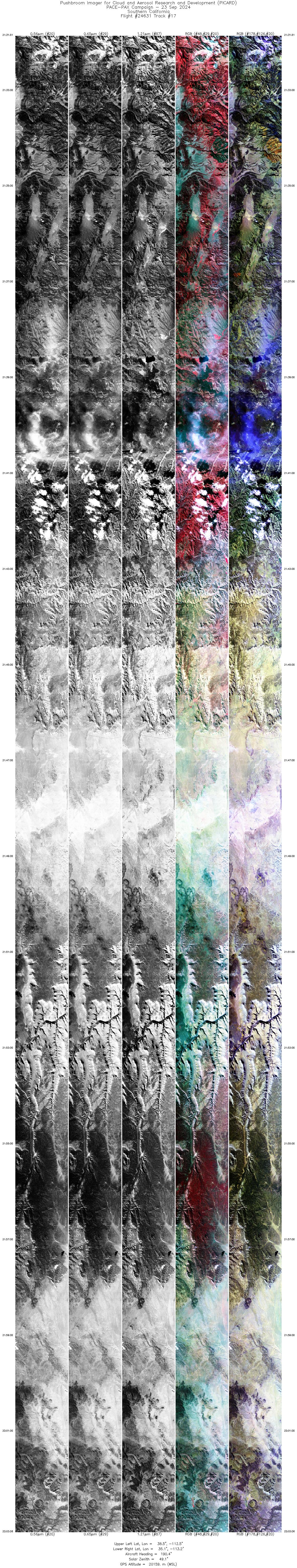
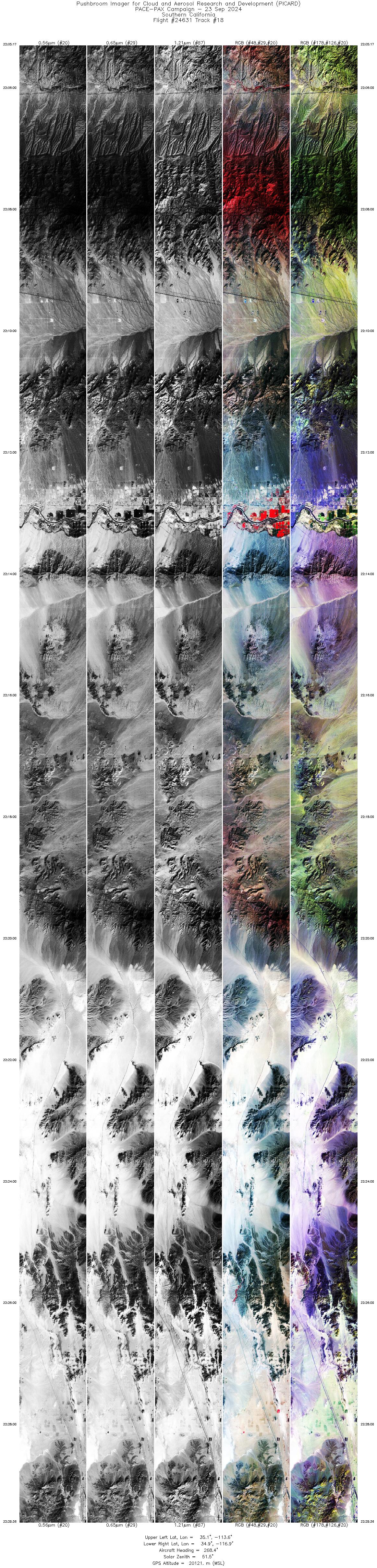
Flight 24-631


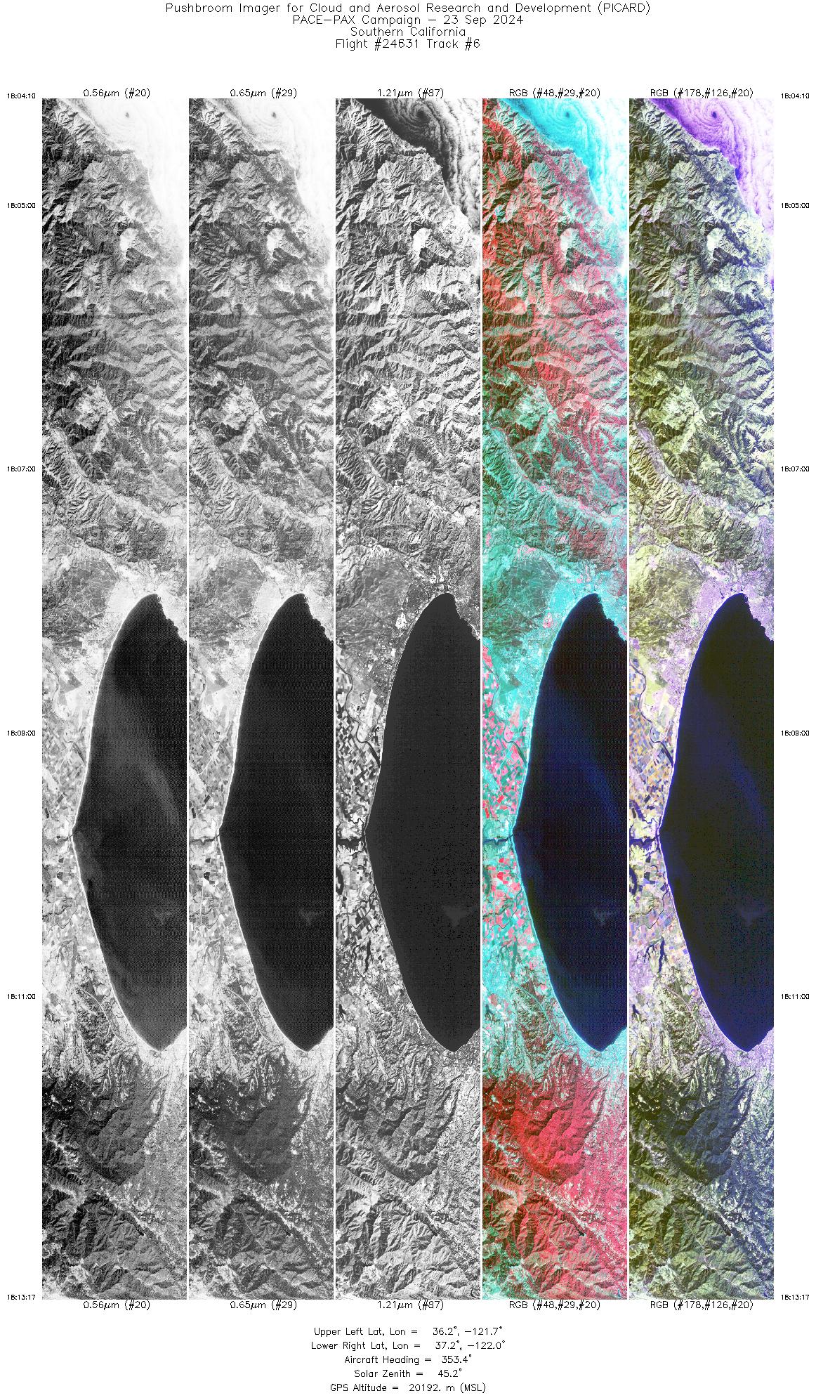
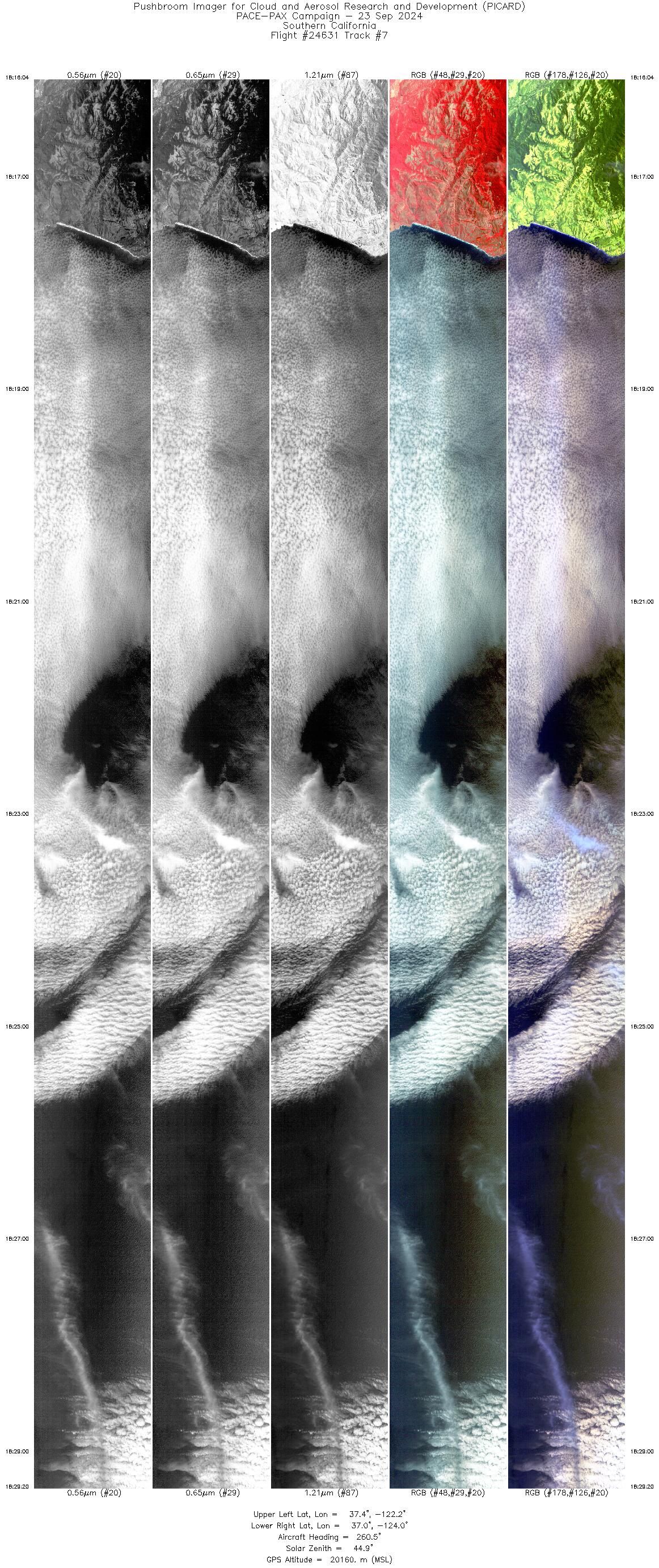
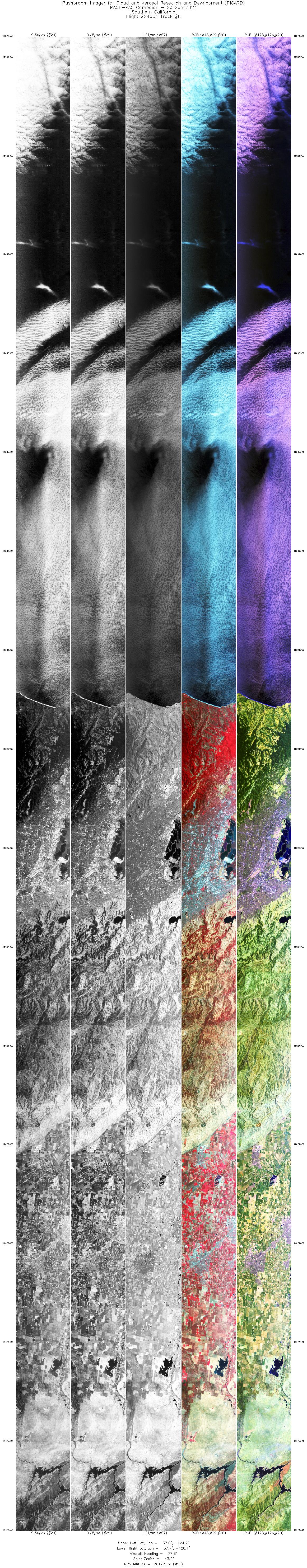
| Sample Imagery |
| Click image for full resolution |
|
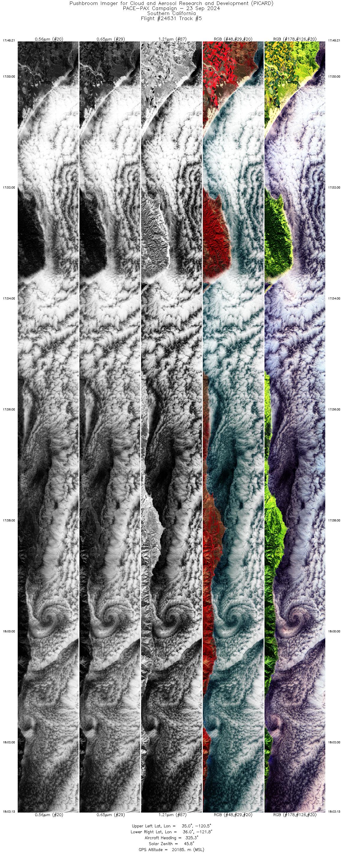
Track: #05 Central Coast, CA |

|
|
R: 0.83µm G: 0.65µm B: 0.56µm |


