


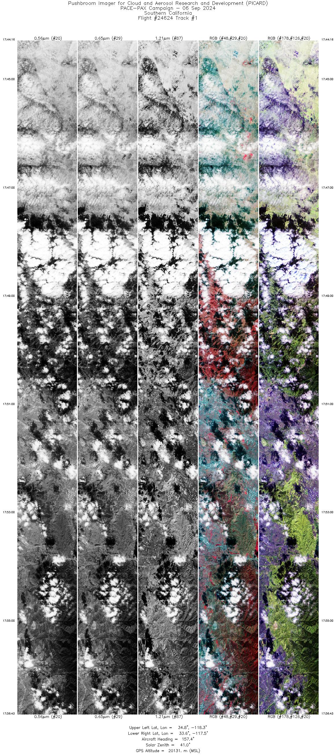
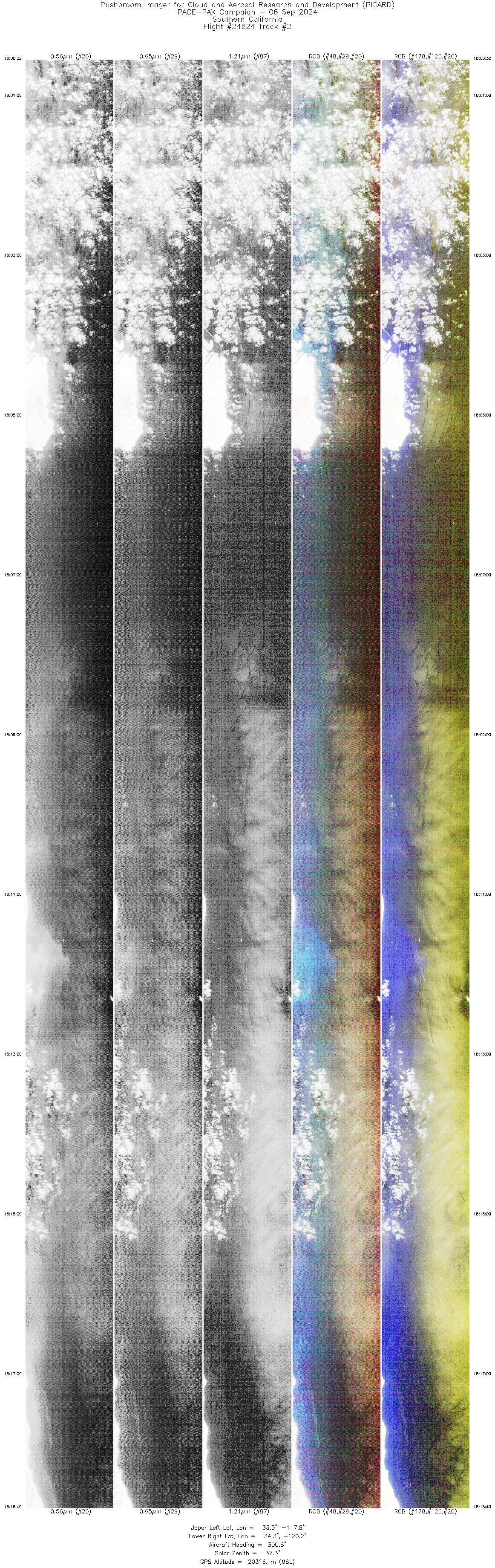
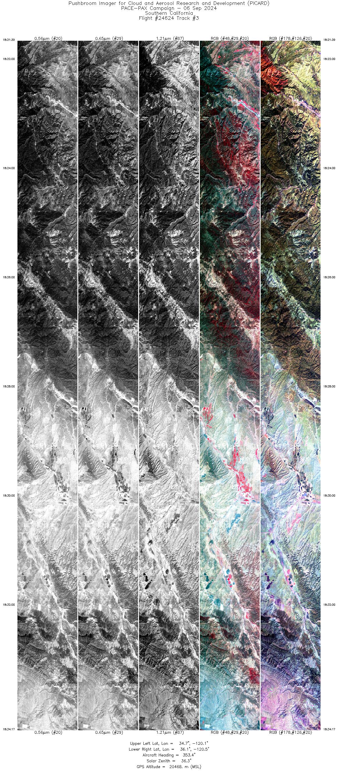
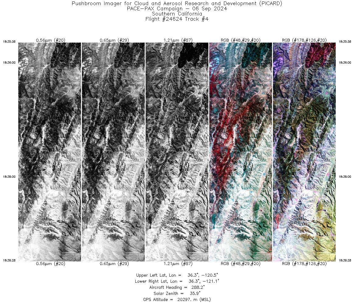
FLIGHT SUMMARY INFORMATION
Flight Track Map


|
Flight: 24-624 / RF0906 Date: 06 Sep 2024 Aircraft: ER-2 #806 Deployment: PACE-PAX Flight Location: California / Nevada / Pacific Ocean Principal Investigators: Knobelspiesse / Cairns / Cetinić (GSFC) Additional Sensors: AirHARP / PRISM / SPEX / HSRL-2 / RSP |
|||||||||||||||||||||||||||||||||||||||||||||||||||||||||||||||||||||||||||||||||||||||
|
Data Evaluation Overall quality is good PACE Underpass @ 20:29 UTC RV Shearwater Overpass @ 18:12 / 21:06 / 21:16 / 22:08 UTC Twin Otter Overpass @ 21:19 UTC Note - Data NOT collected during the RV Shearwater Overpass @ 22:19 UTC |
|||||||||||||||||||||||||||||||||||||||||||||||||||||||||||||||||||||||||||||||||||||||
|
Processing Information Level-1B Data Available |
|||||||||||||||||||||||||||||||||||||||||||||||||||||||||||||||||||||||||||||||||||||||
|
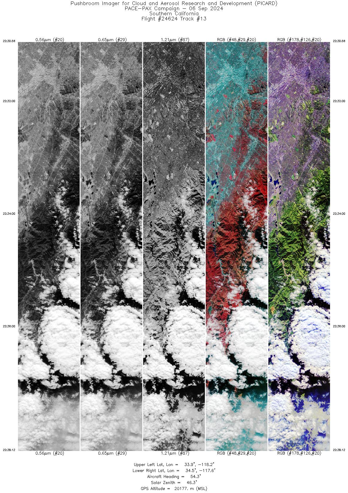
Browse Imagery Flight Tracks: 13 Frames: 85471 |
|||||||||||||||||||||||||||||||||||||||||||||||||||||||||||||||||||||||||||||||||||||||
|
|||||||||||||||||||||||||||||||||||||||||||||||||||||||||||||||||||||||||||||||||||||||

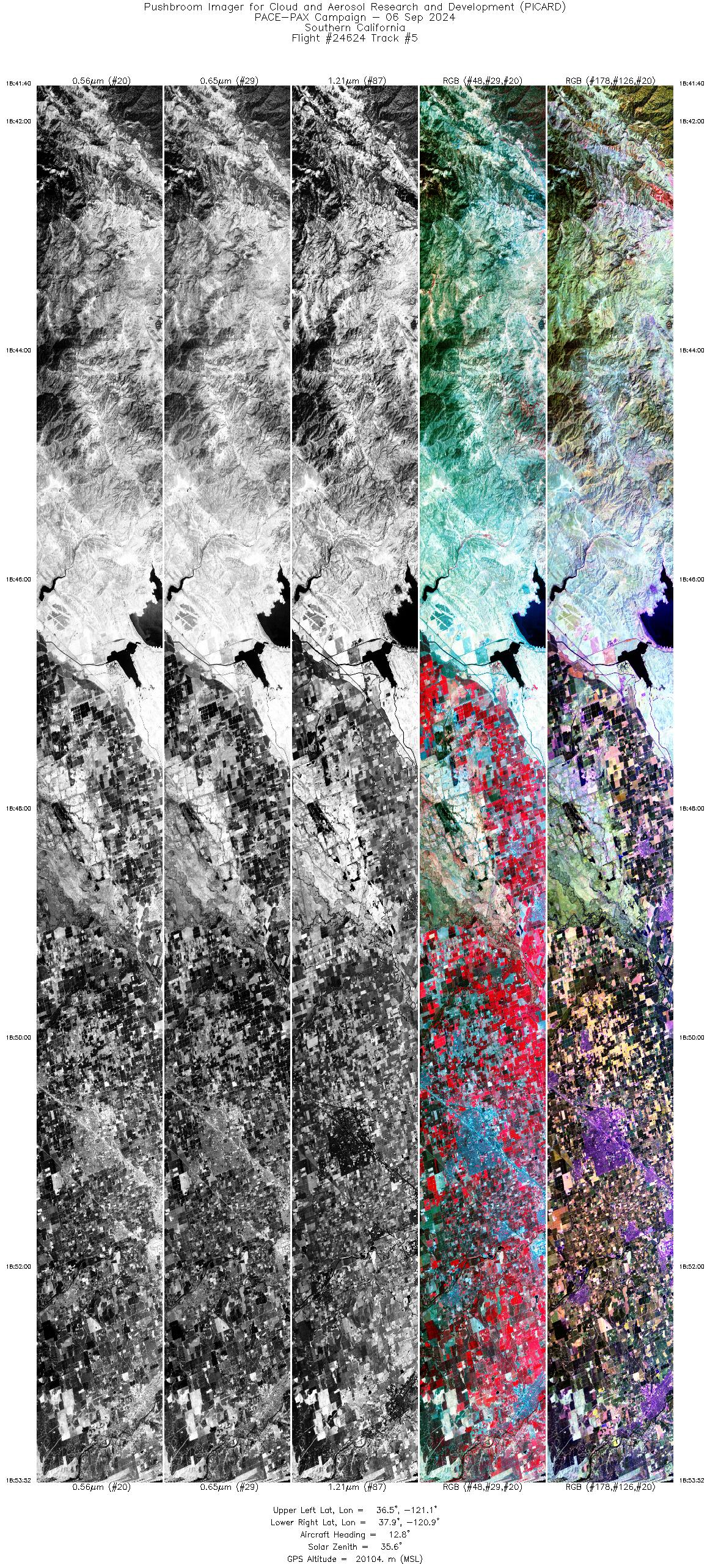
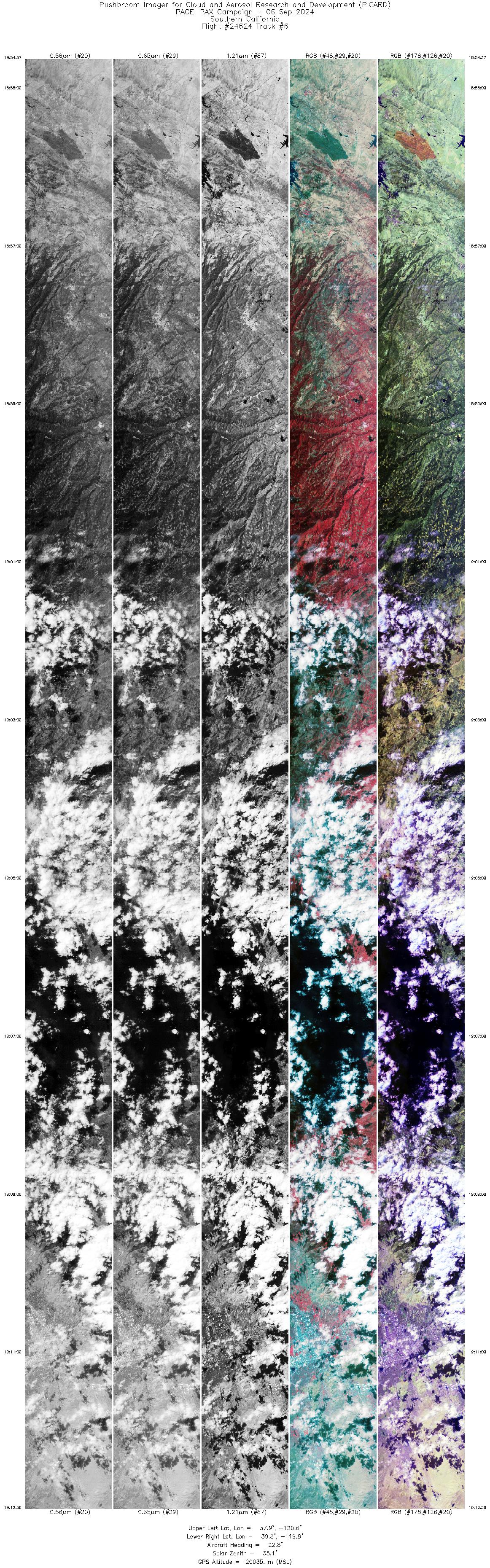
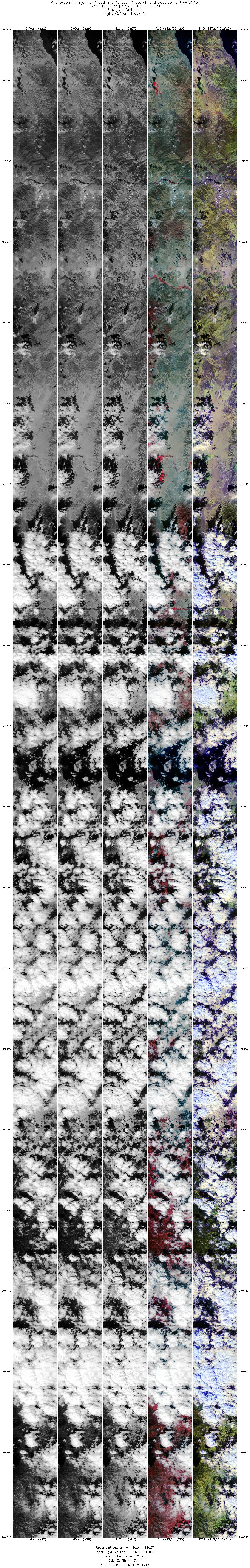
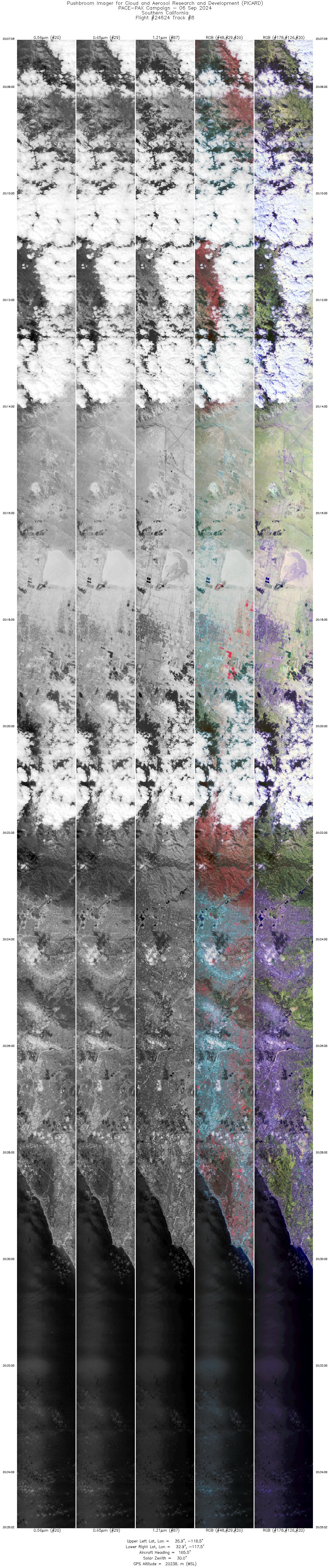
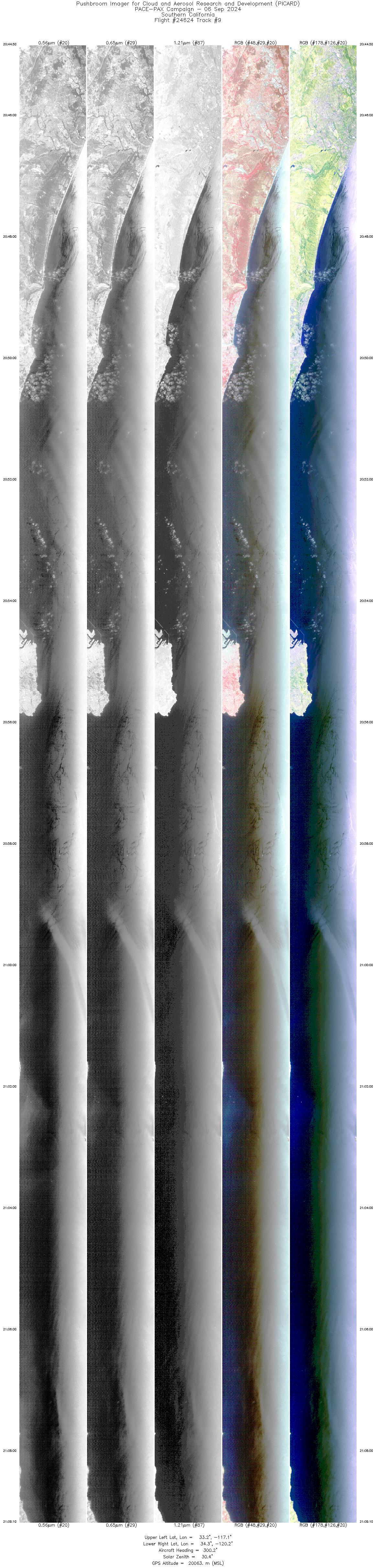
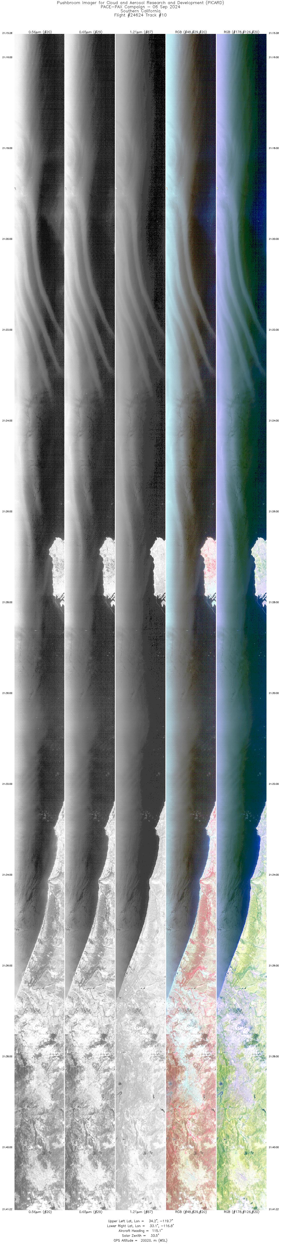
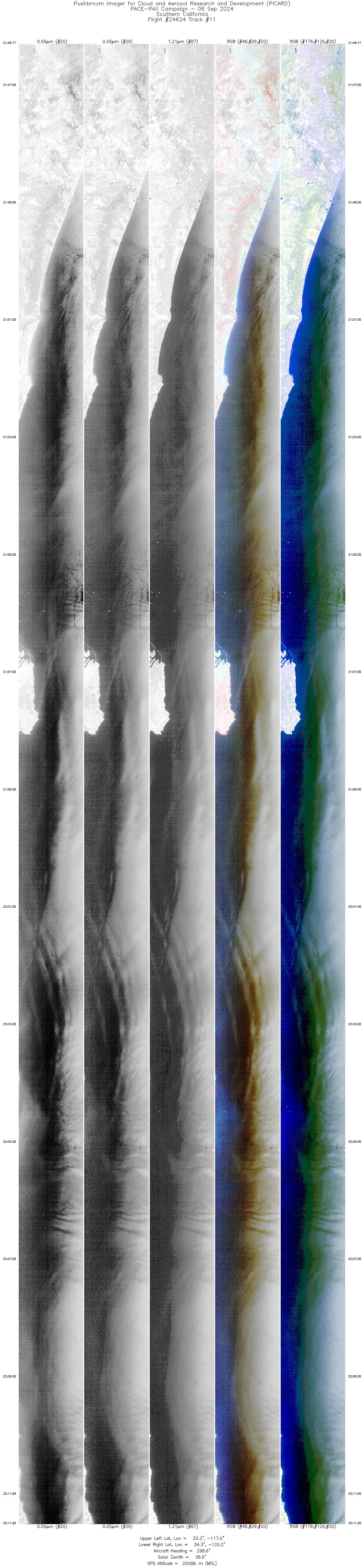
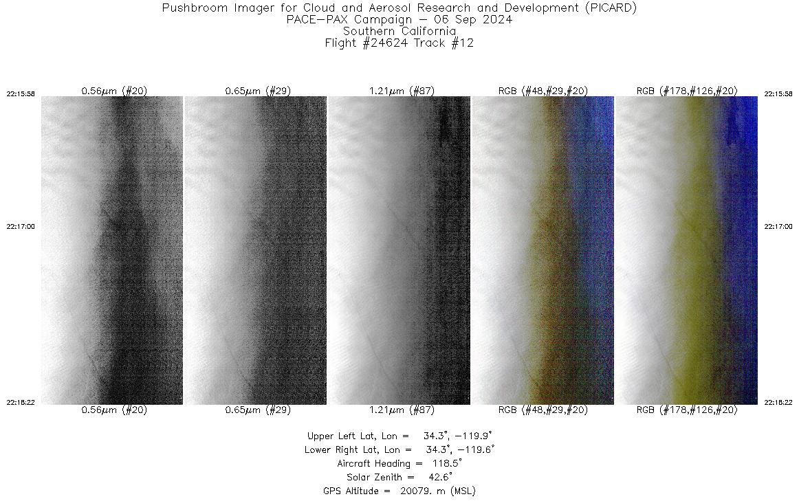
Flight 24-624


| Sample Imagery |
| Click image for full resolution |
|
Track: #08 Irvine, CA / PACE Overpass |

|
|
R: 2.12µm G: 1.61µm B: 1.21µm |


