


FLIGHT SUMMARY INFORMATION
Flight Track Map


|
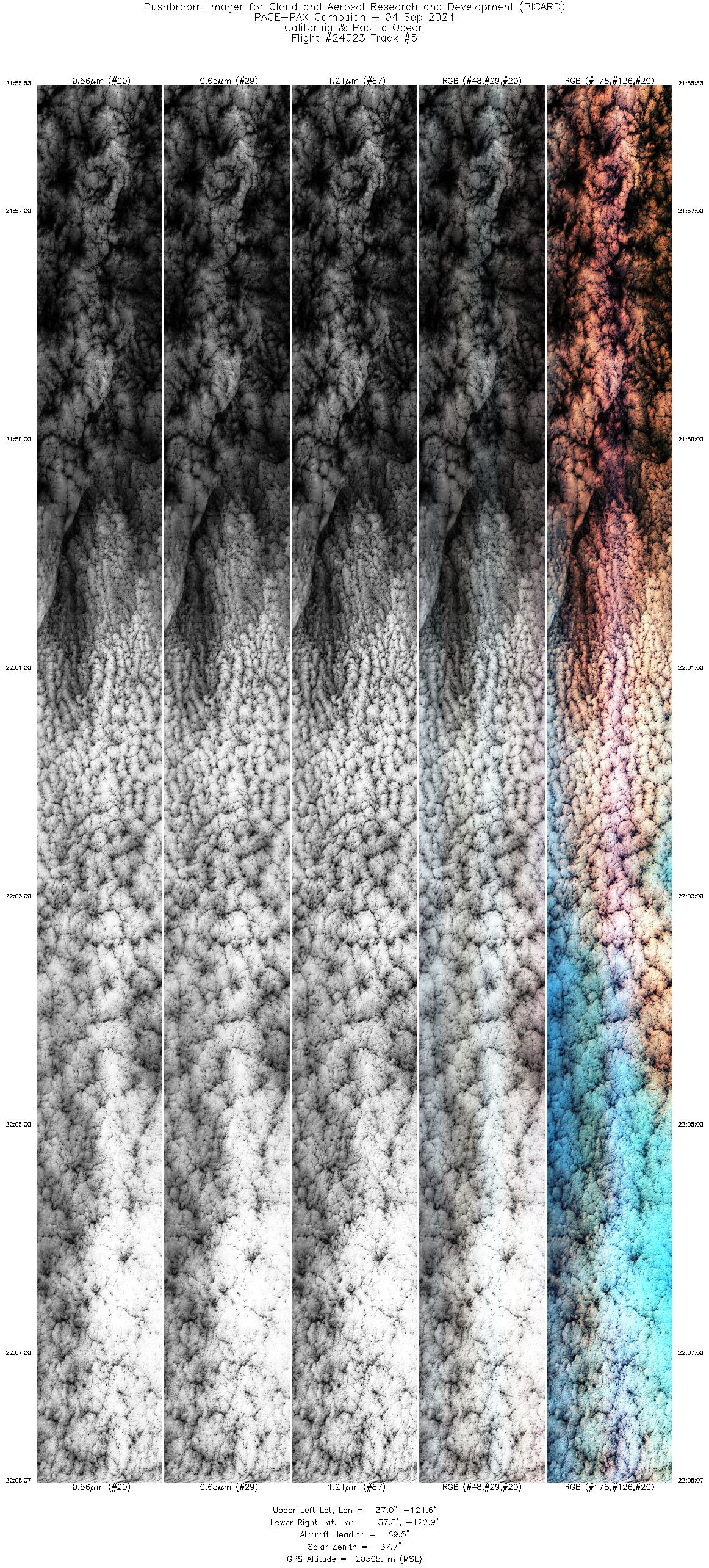
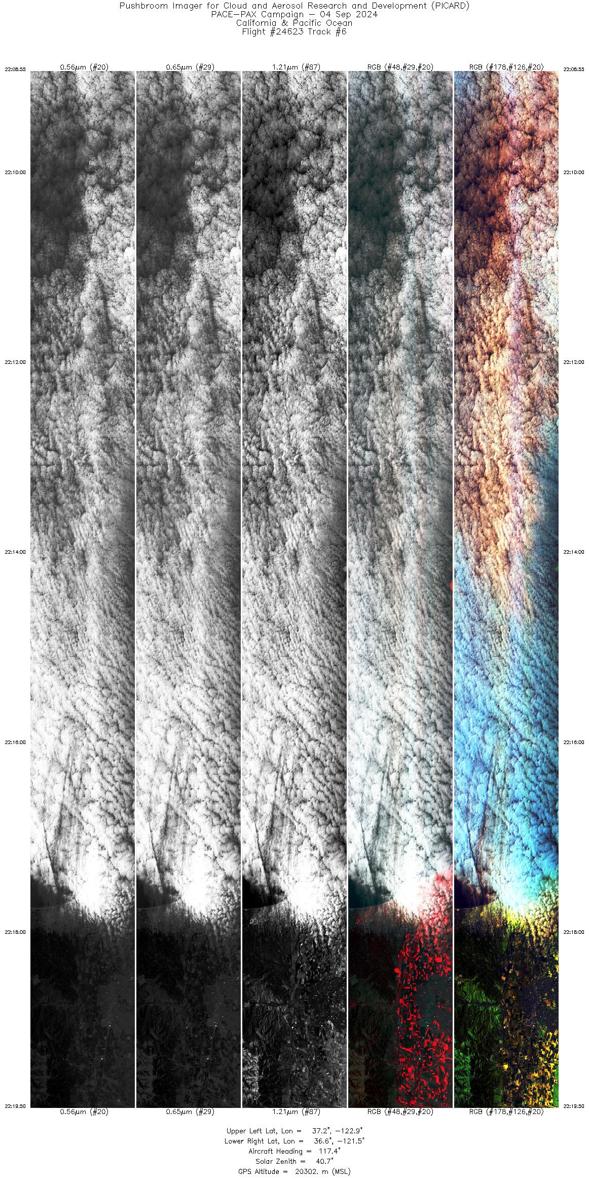
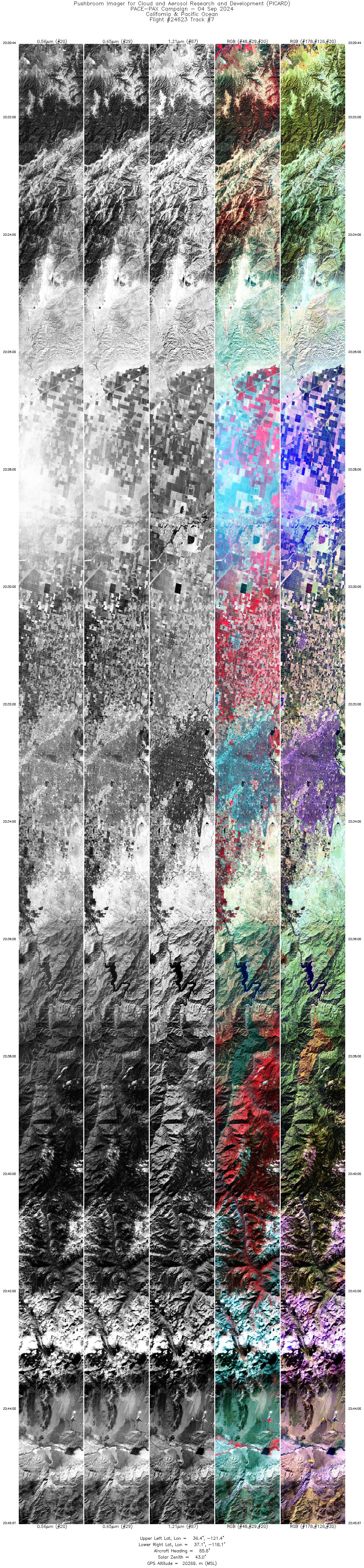
Flight: 24-623 / RF0904 Date: 04 Sep 2024 Aircraft: ER-2 #806 Deployment: PACE-PAX Flight Location: California / Pacific Ocean Principal Investigators: Knobelspiesse / Cairns / Cetinić (GSFC) Additional Sensors: AirHARP / PRISM / SPEX / HSRL-2 / RSP |
|||||||||||||||||||||||||||||||||||||||||||||||||||||||||
|
Data Evaluation Overall quality is good PICARD did not collect data between 19:04 - 19:43 and 20:15 - 20:37 UTC. PACE Underpass @ 20:58 UTC Twin Otter Overpass @ 22:08 UTC |
|||||||||||||||||||||||||||||||||||||||||||||||||||||||||
|
Processing Information Level-1B Data Available |
|||||||||||||||||||||||||||||||||||||||||||||||||||||||||
|
Browse Imagery Flight Tracks: 7 Frames: 55082 |
|||||||||||||||||||||||||||||||||||||||||||||||||||||||||
|
|||||||||||||||||||||||||||||||||||||||||||||||||||||||||

Flight 24-623


| Sample Imagery |
| Click image for full resolution |
|
Track: #01 San Francisco, CA |

|
|
R: 0.83µm G: 0.65µm B: 0.56µm |
| Sample Imagery |
| Click image for full resolution |
|
Track: #01 San Francisco, CA |

|
|
R: 2.12µm G: 1.61µm B: 1.21µm |


