


FLIGHT SUMMARY INFORMATION
Flight Track Map


|
Flight: 24-622 / CF0829 Date: 29 Aug 2024 Aircraft: ER-2 #806 Deployment: PACE-PAX Flight Location: California / Pacific Ocean Principal Investigators: Knobelspiesse / Cairns / Cetinić (GSFC) Additional Sensors: AirHARP / PRISM / SPEX / HSRL-2 / RSP |
||||||||||||||||||||||||||||||||||||||||||
|
Data Evaluation Overall quality is good |
||||||||||||||||||||||||||||||||||||||||||
|
Processing Information Level-1B Data Available |
||||||||||||||||||||||||||||||||||||||||||
|
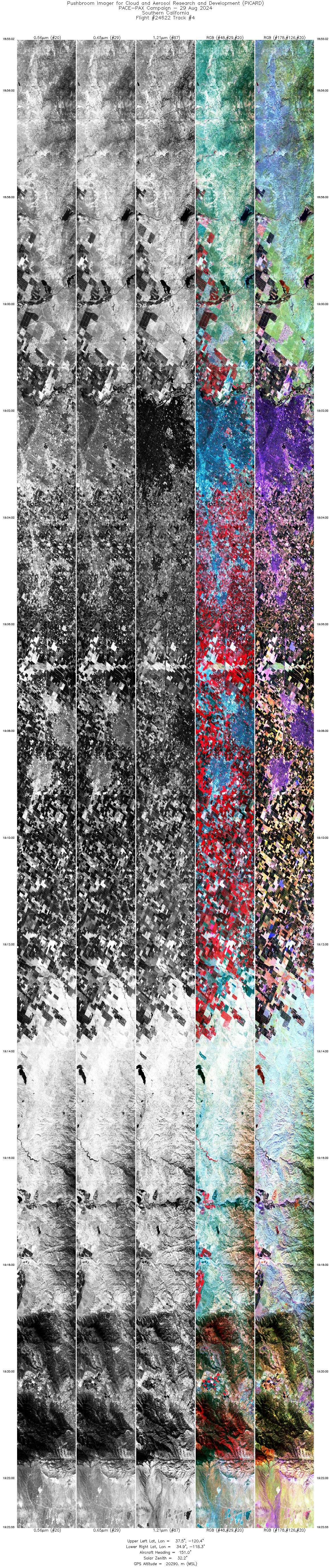
Browse Imagery Flight Tracks: 4 Frames: 30199 |
||||||||||||||||||||||||||||||||||||||||||
|
||||||||||||||||||||||||||||||||||||||||||

Flight 24-622


| Sample Imagery |
| Click image for full resolution |
|
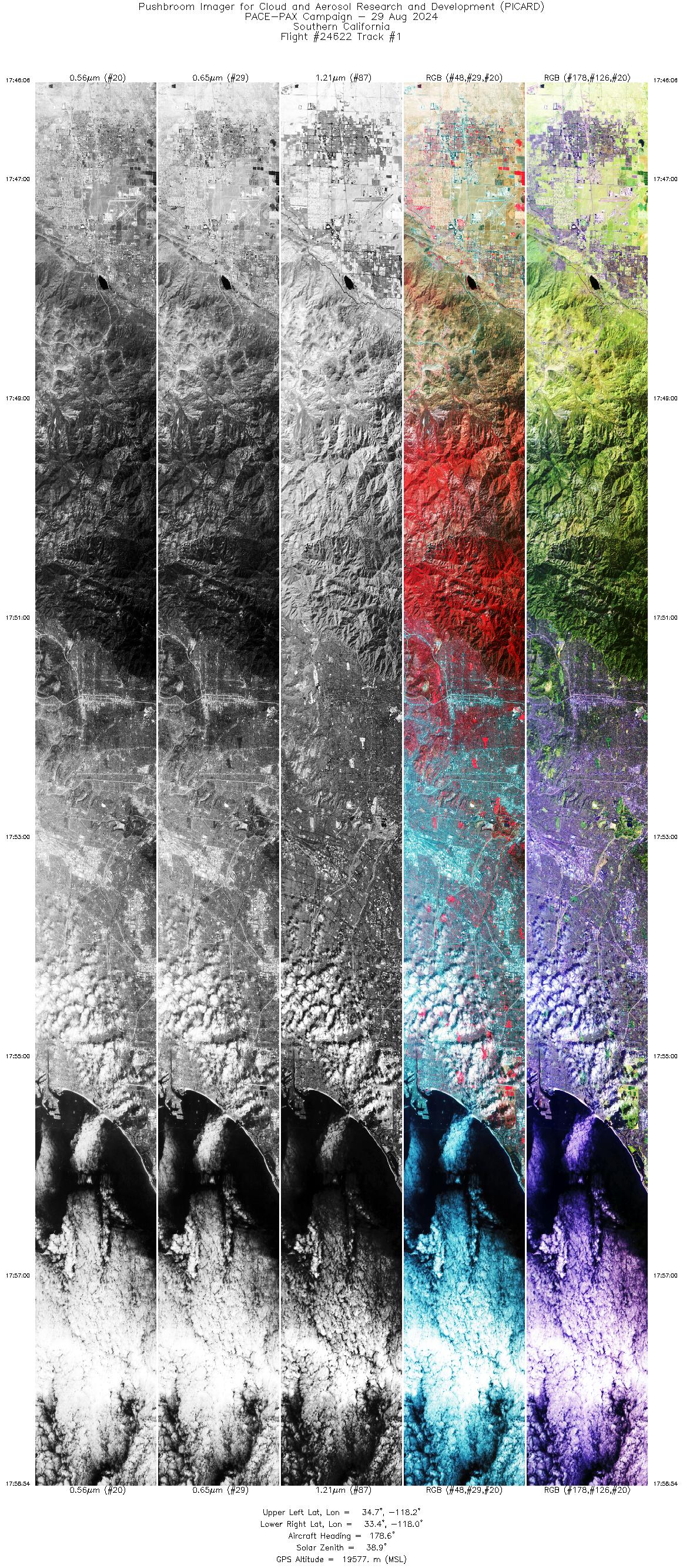
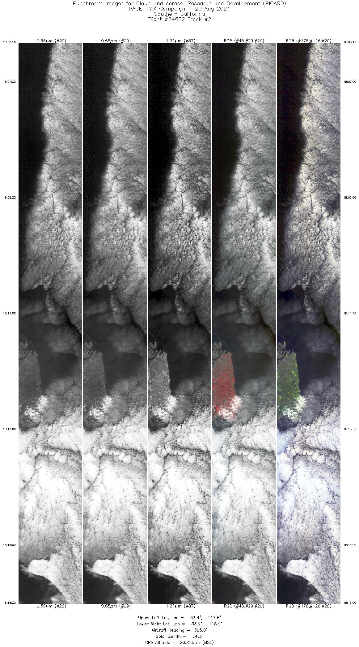
Track: #02 Southern California |

|
|
R: 0.83µm G: 0.65µm B: 0.56µm |
| Sample Imagery |
| Click image for full resolution |
|
Track: #02 Southern California |

|
|
R: 2.12µm G: 1.61µm B: 1.21µm |


