


FLIGHT SUMMARY INFORMATION
Flight Track Map


|
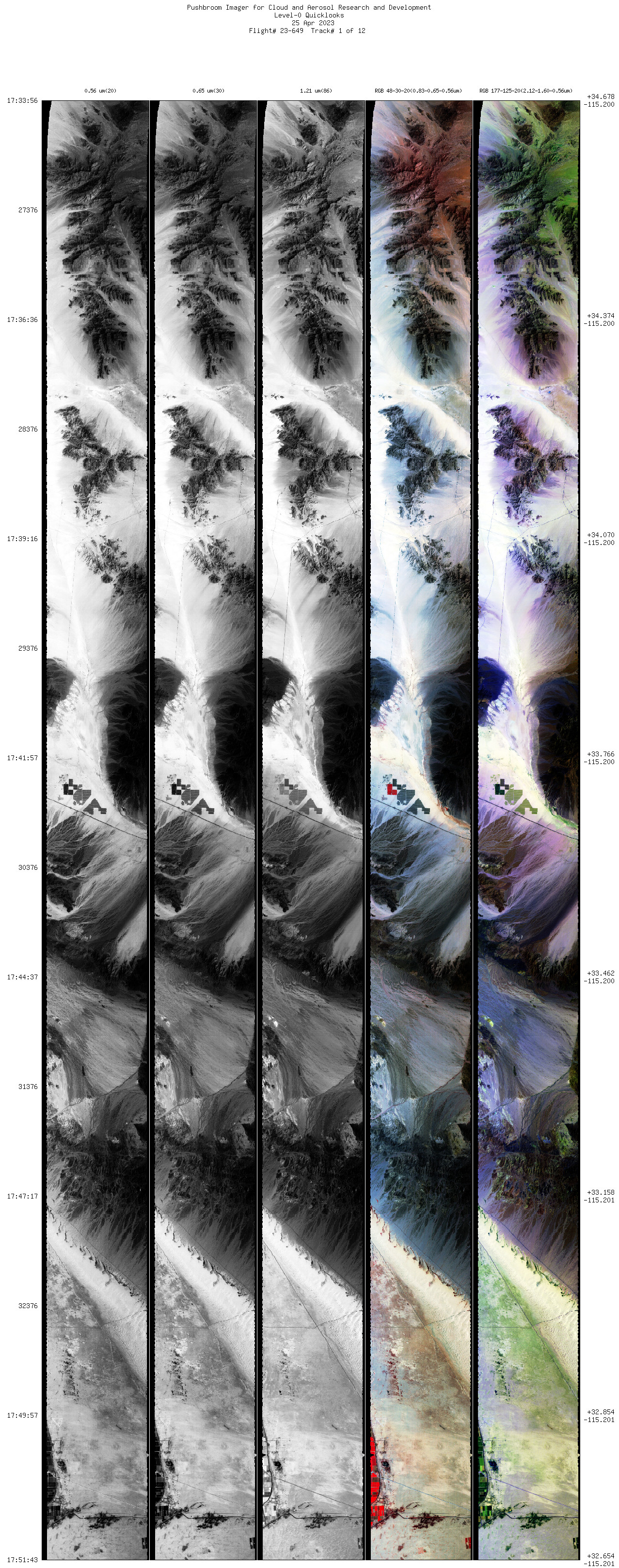
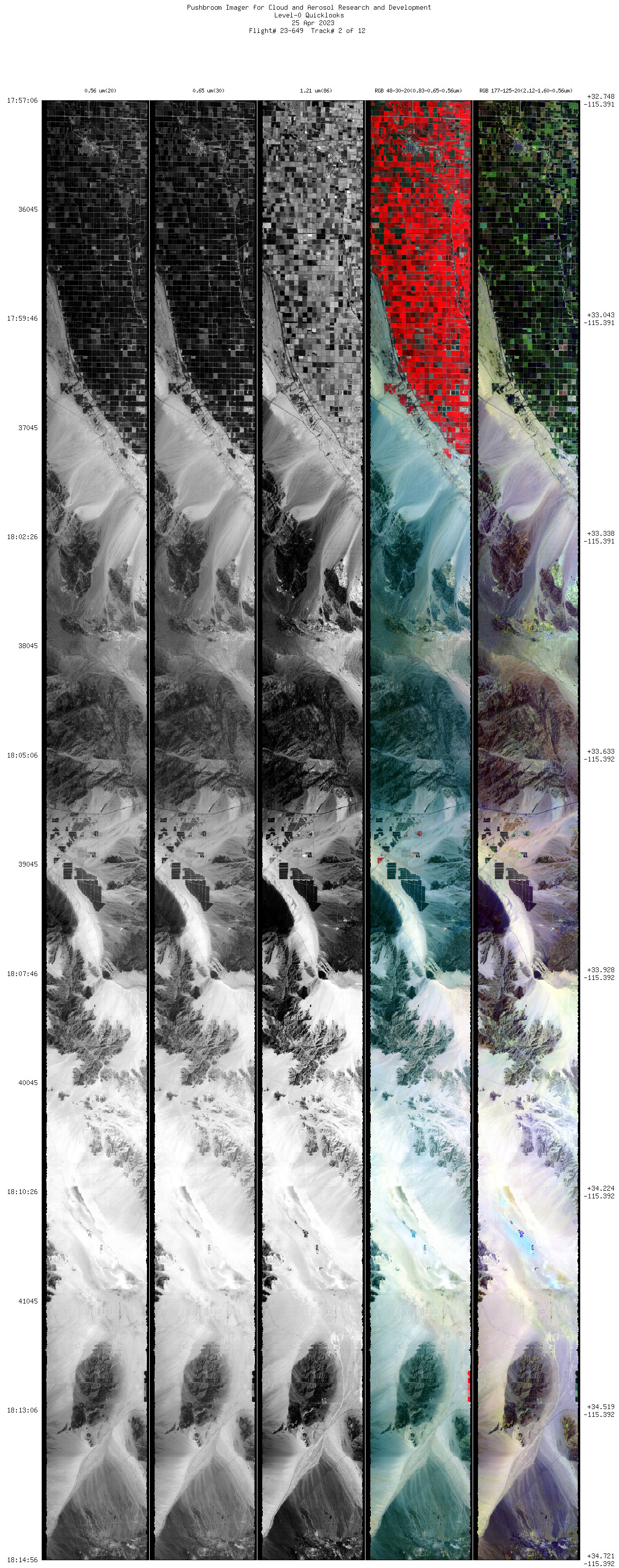
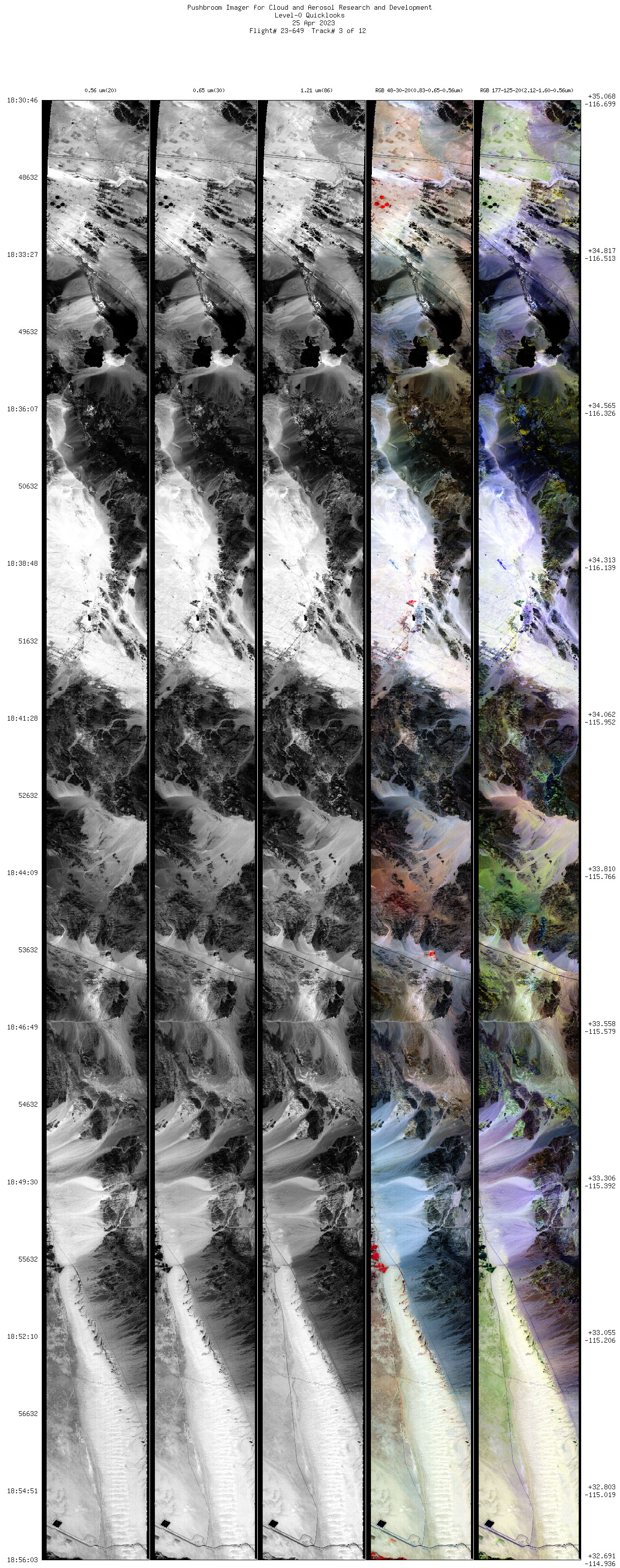
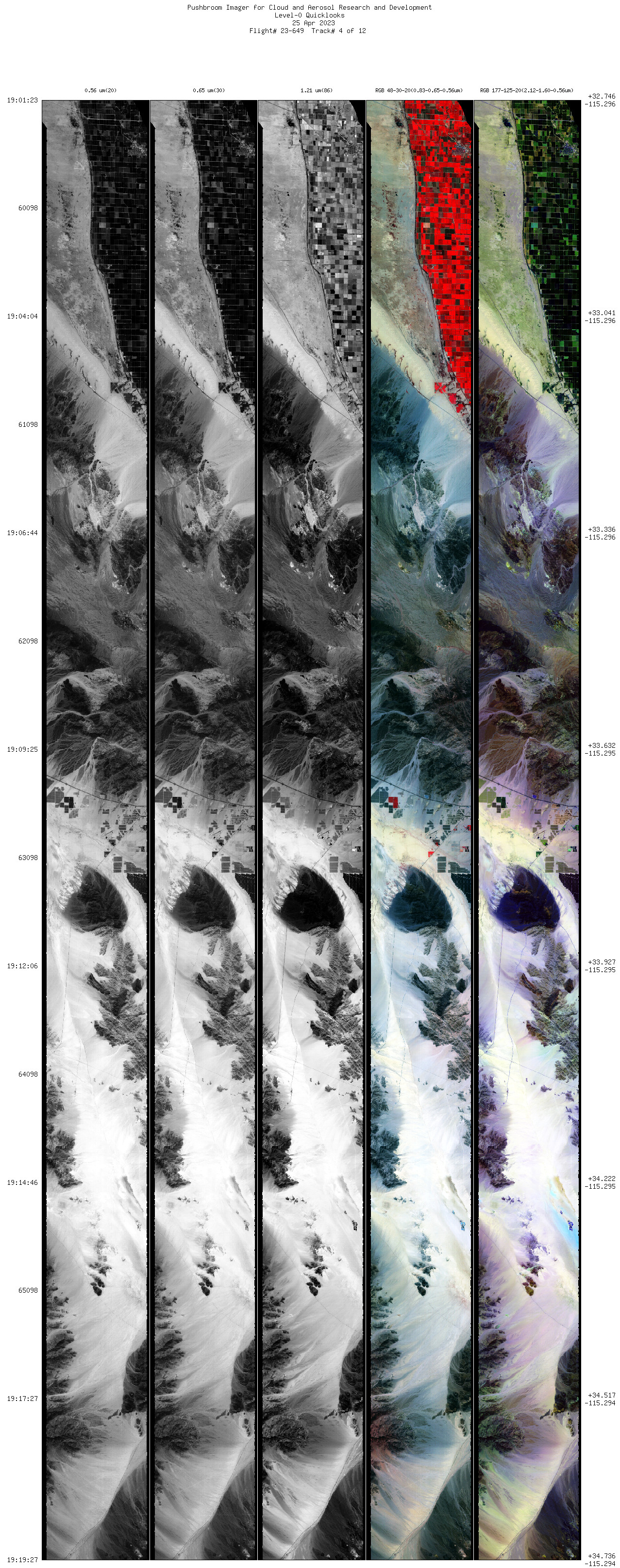
Flight: 23-649 Date: 25 April 2023 Aircraft: ER-2 #806 Deployment: Calibration / Validation Spring 2023 Flight Location: Southeastern California Principal Investigators: Platnick (GSFC) Additional Sensors: MASTER / AVIRIS / AirMSPI2 |
||||||||||||||||||||||||||||||||||||||||||||||||||||||||||||||||||||||||||||||||||
|
Data Evaluation Overall quality is fair |
||||||||||||||||||||||||||||||||||||||||||||||||||||||||||||||||||||||||||||||||||
|
Processing Information Level-1B Data Available |
||||||||||||||||||||||||||||||||||||||||||||||||||||||||||||||||||||||||||||||||||
|
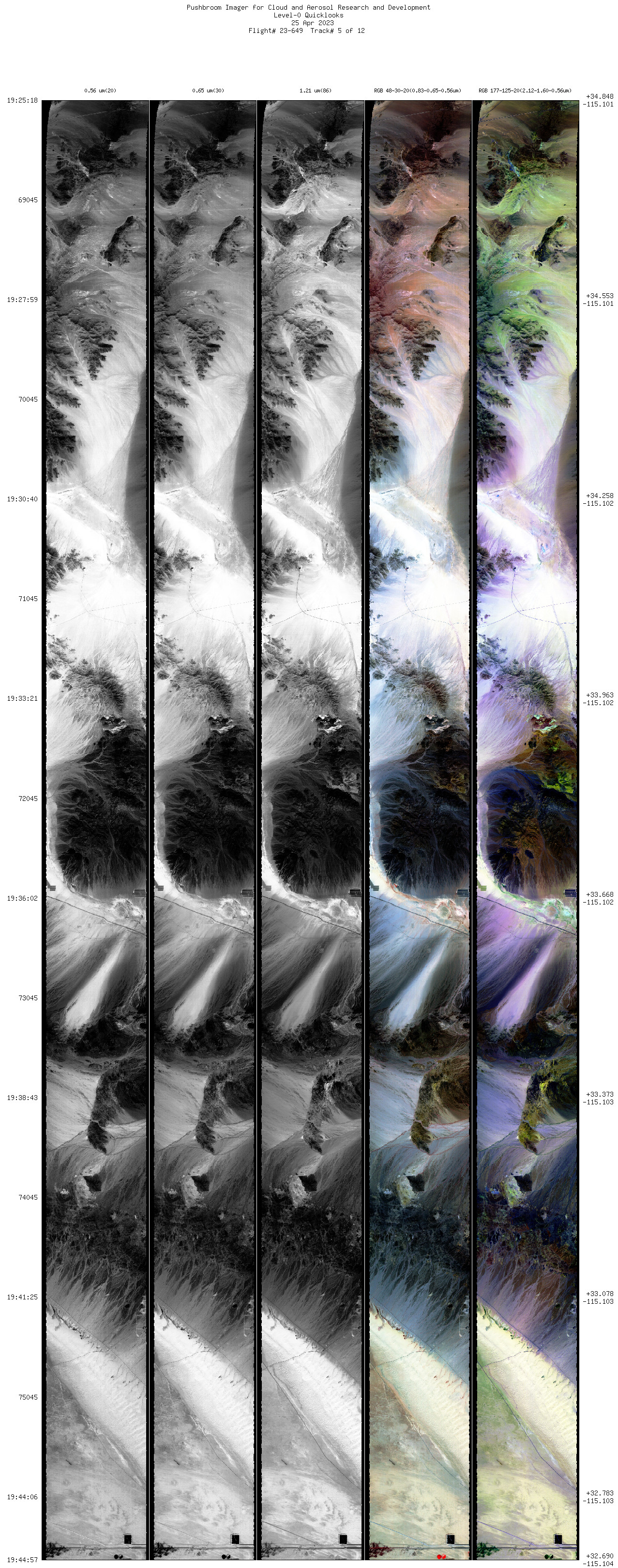
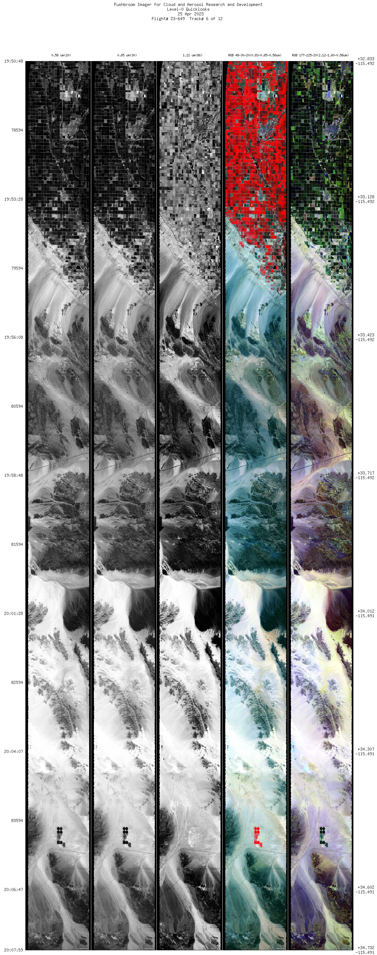
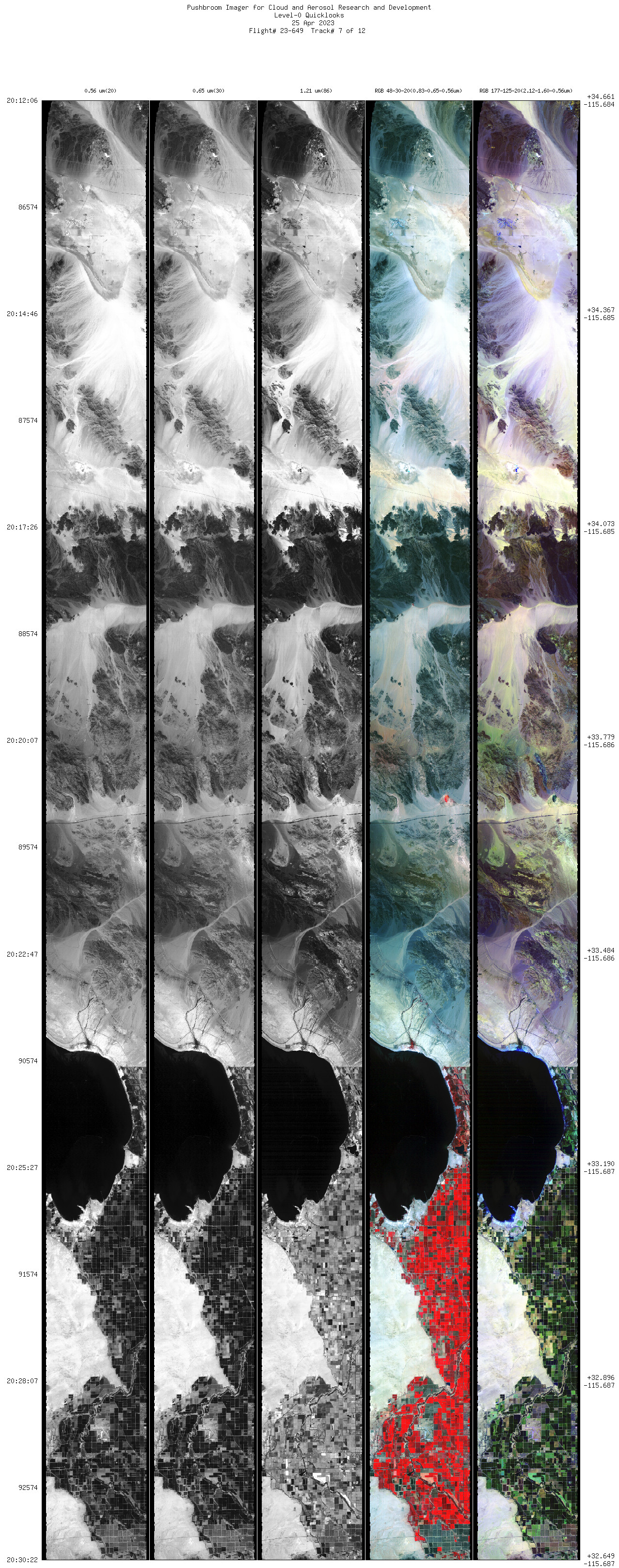
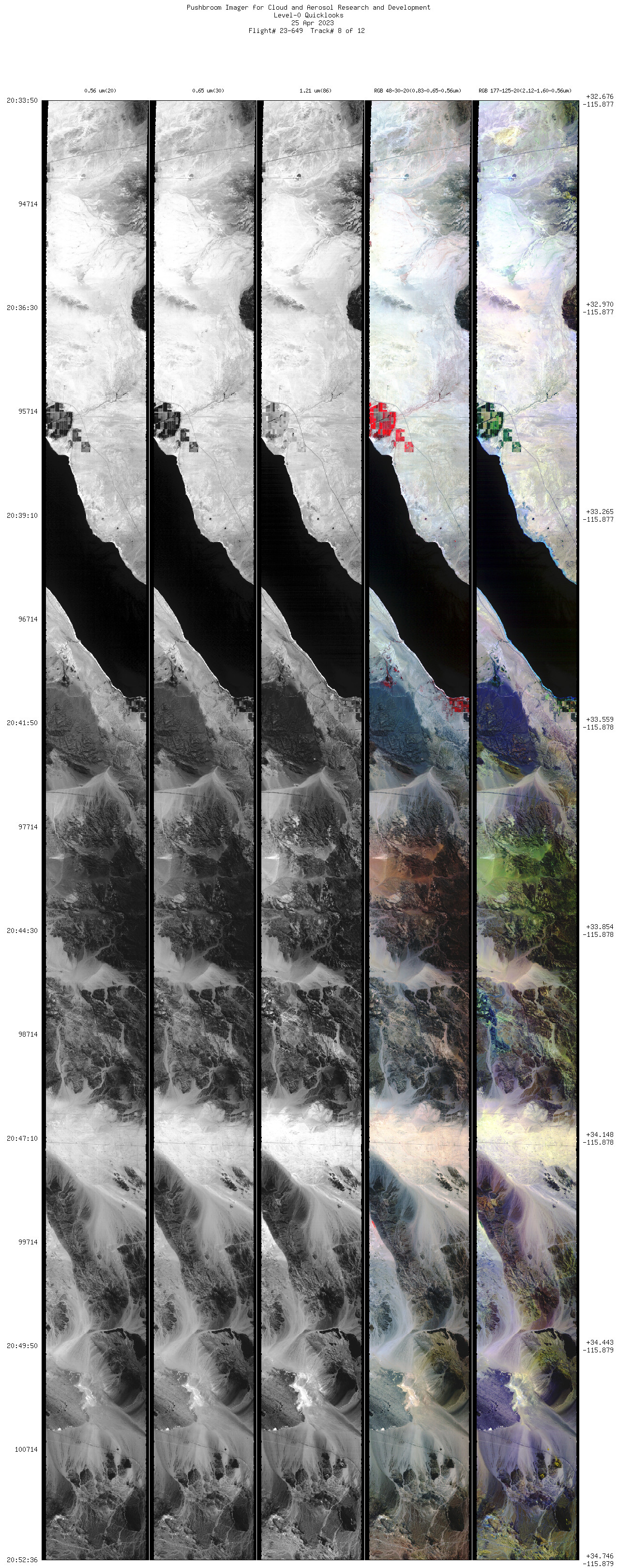
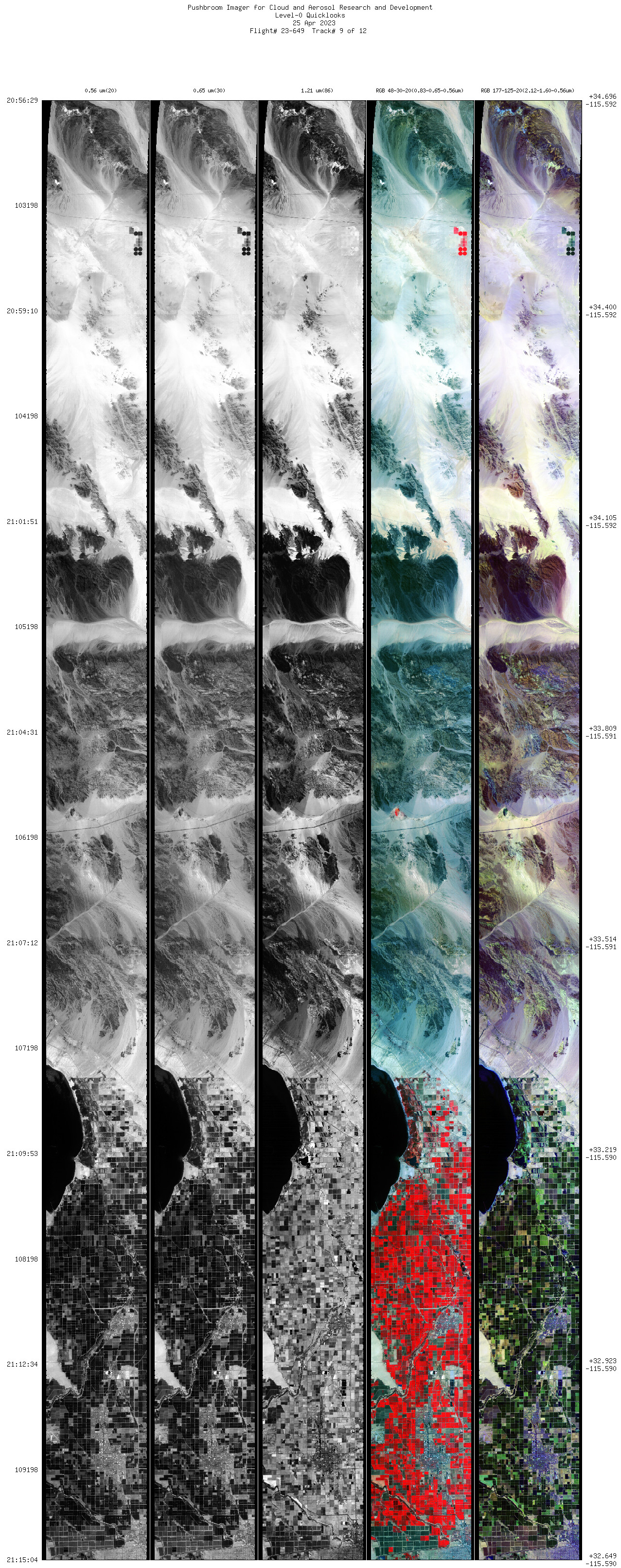
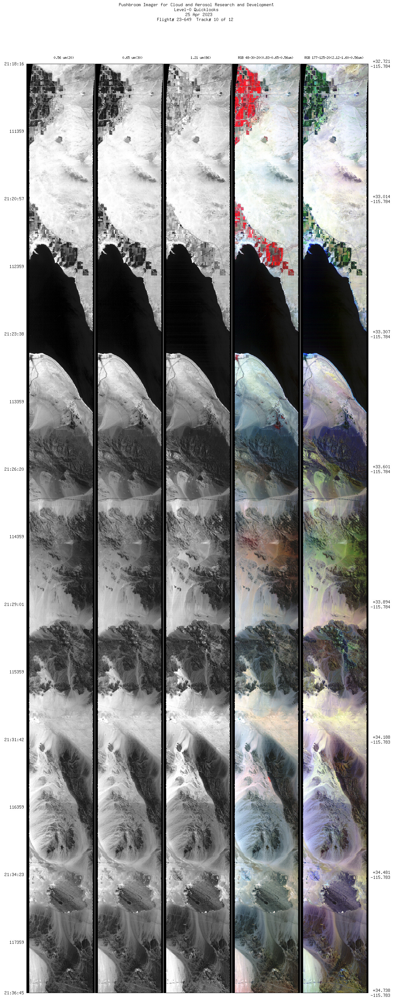
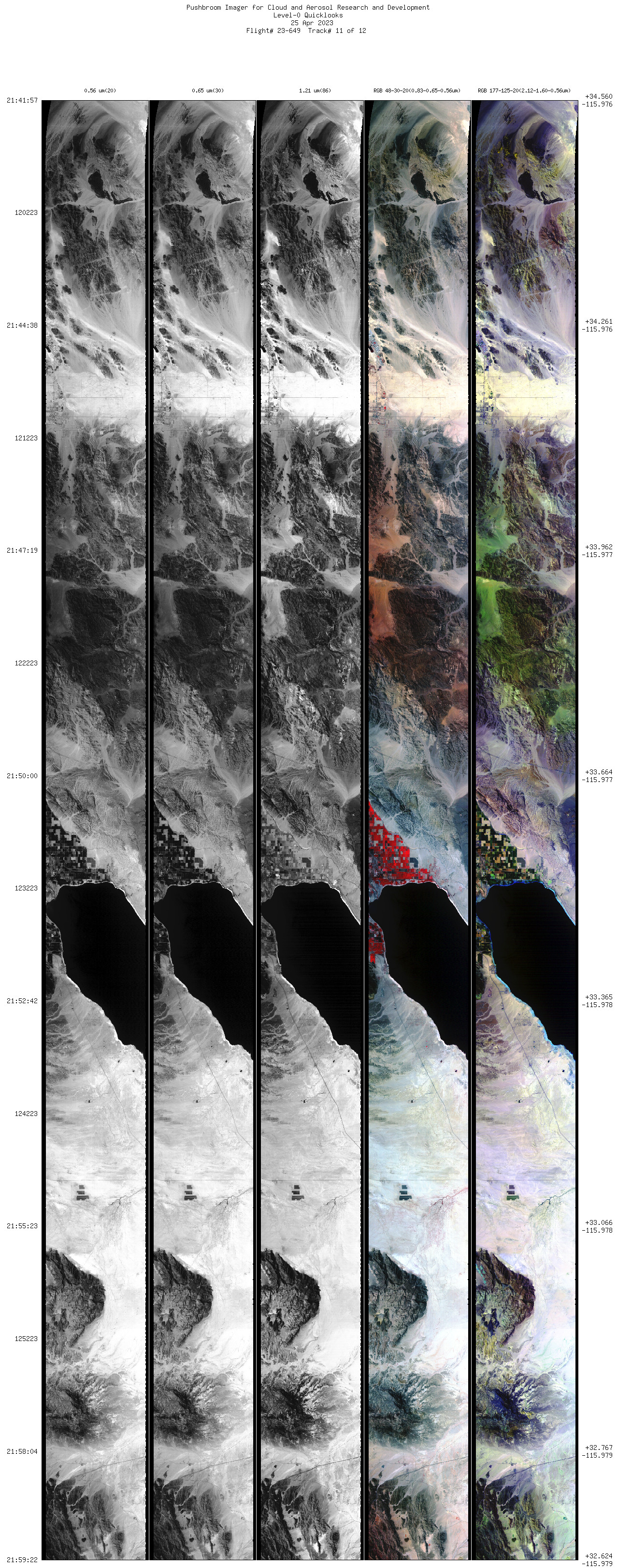
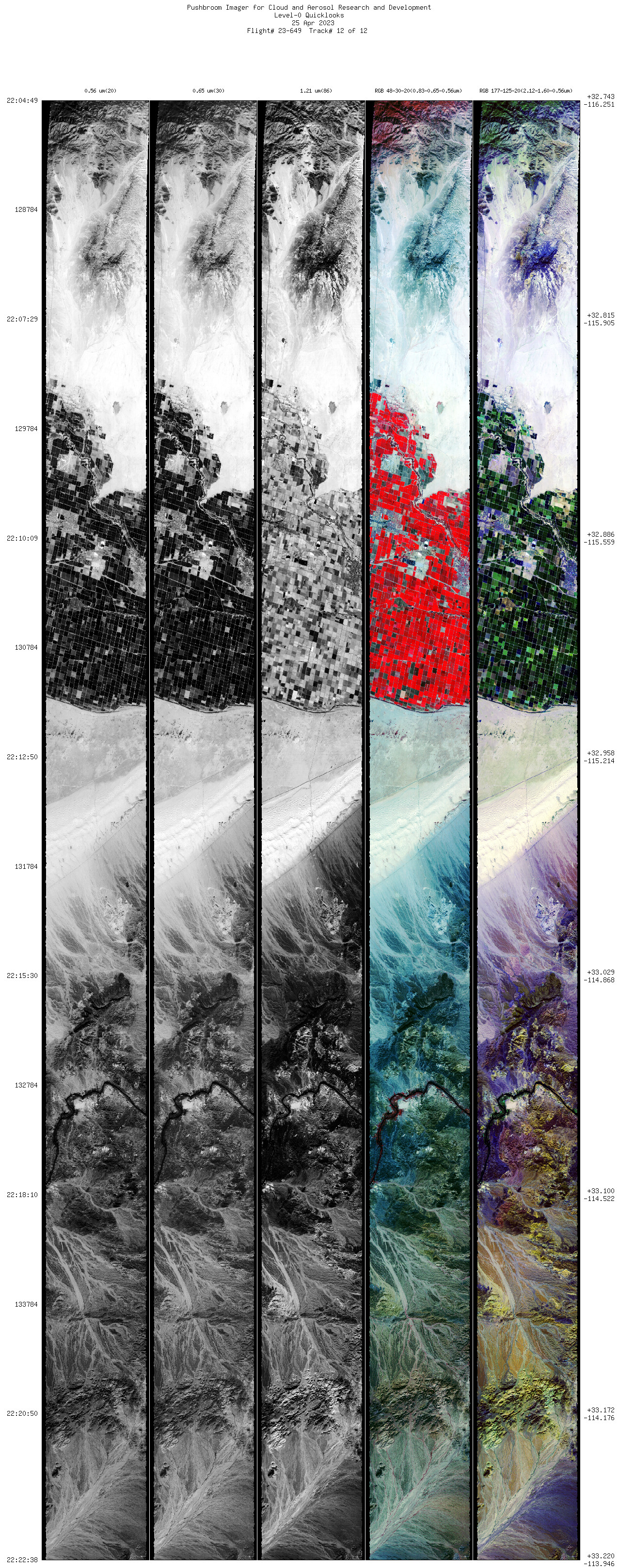
Browse Imagery Flight Tracks: 12 Frames: 84107 |
||||||||||||||||||||||||||||||||||||||||||||||||||||||||||||||||||||||||||||||||||
|
||||||||||||||||||||||||||||||||||||||||||||||||||||||||||||||||||||||||||||||||||

Flight 23-649


| Sample Imagery |
| Click image for full resolution |
|
Track: #12 Imperial Valley, CA |

|
|
R: 2.12µm G: 1.60µm B: 0.56µm |


