
|
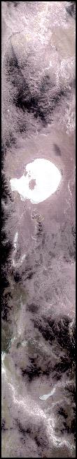
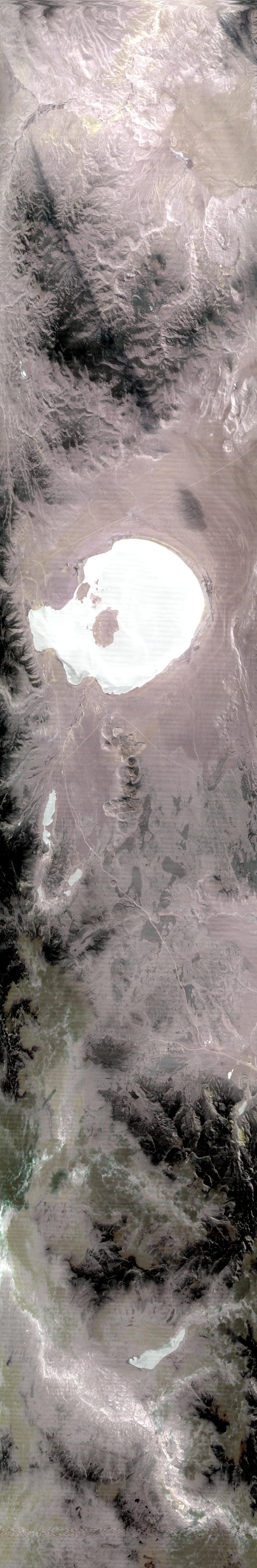
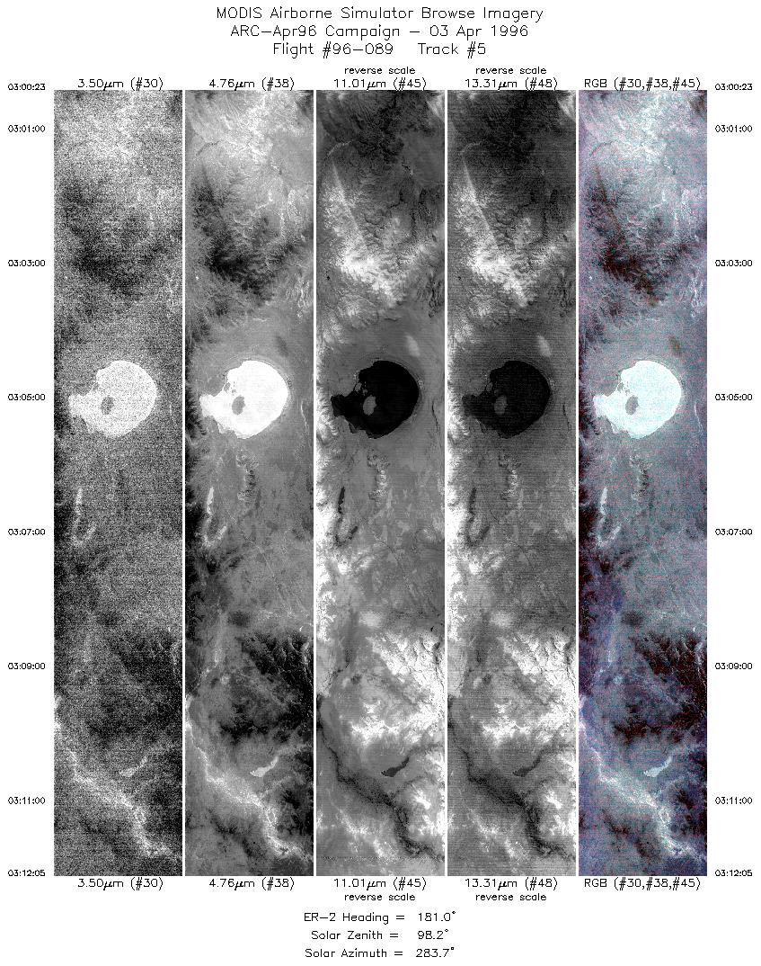
Sample Image

03 Apr 1996
Track #05

|
|
Mission Summary
Date: April 03, 1996
ER-2 Flight Number: 96-089
Deployment: ARC-Apr96
Flight Location: Mono Lake, California (night flight)
Principal Investigator: Dr. Zhengming Wan (UCSB)
Additional Sensors: none
Objective: Validation of an algorithim used to calculate land surface temperatures and emissivity based on thermal infrared data.
Level-1B Processing Information
Level-1B Data processed by: Ames Research Center
Level-1B Data Version: #09
Level-1B Configuration: (sample file)
Calibration Type: Final
Calibration Version: 1.0
Temperature Adjustment: No
Status: Completed with final calibration
|
|
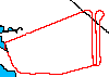
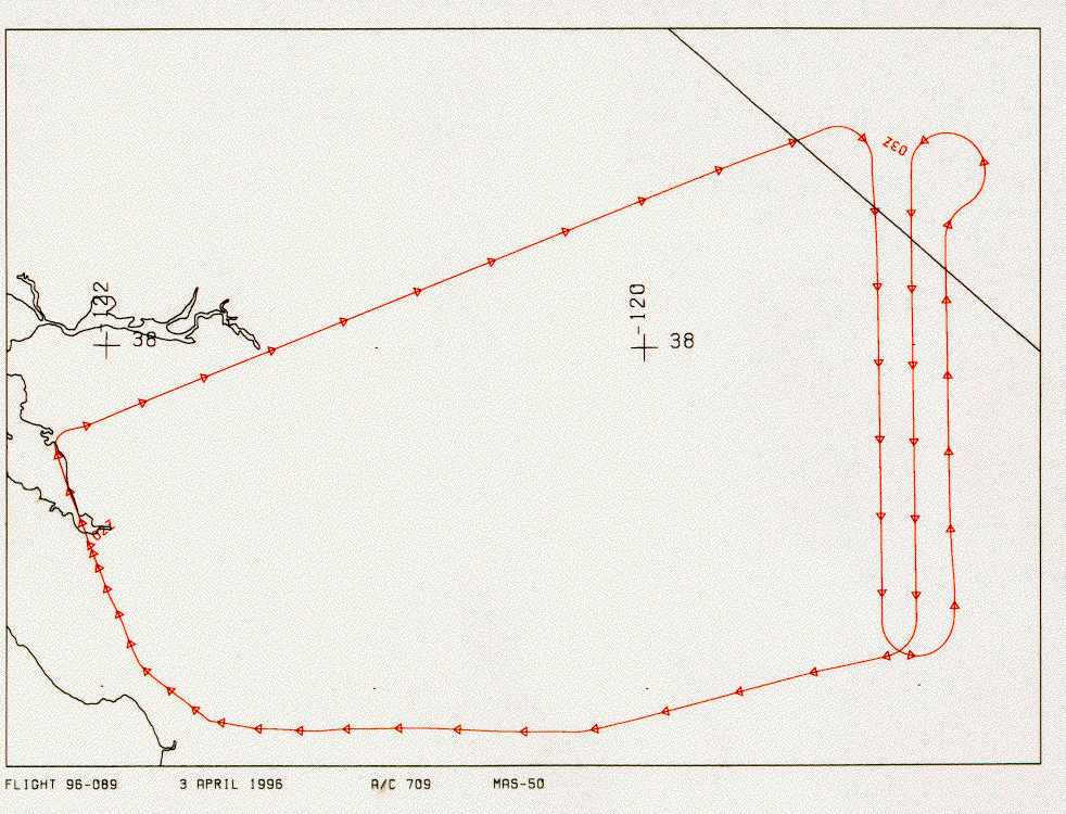
Flight Track Map

|
Level-1B Browse Imagery
Straight Line Flight Tracks: 07
Scanlines Processed: 16462
Solar Azimuth and Zenith Angles
|
Browse Images
|
Click on the Flight Track number to load images.
Lat/Lon ranges are for the BEG-END scanline nadir pixels.
|
Flight
Track |
Time_Span
(GMT) |
Heading
(Deg) |
Lat_Range
(Deg_N) |
Lon_Range
(Deg_W) |
Length
(Scanlines) |
Altitude
(Meters) |
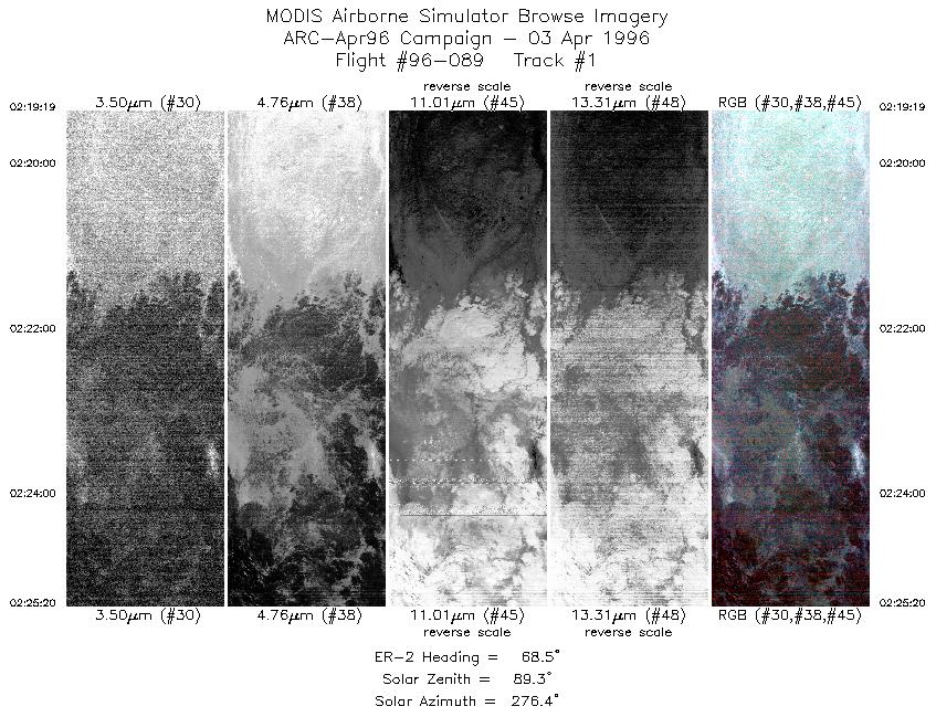
| 1 |
02:19-02:25 |
69 |
38.23-38.50 |
120.66-119.80 |
2246 |
~20000 |
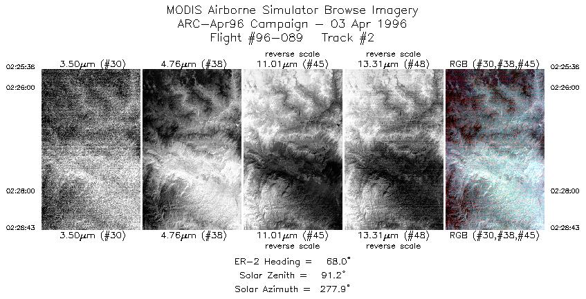
| 2 |
02:25-02:28 |
68 |
38.51-38.63 |
119.75-119.32 |
1166 |
~20000 |
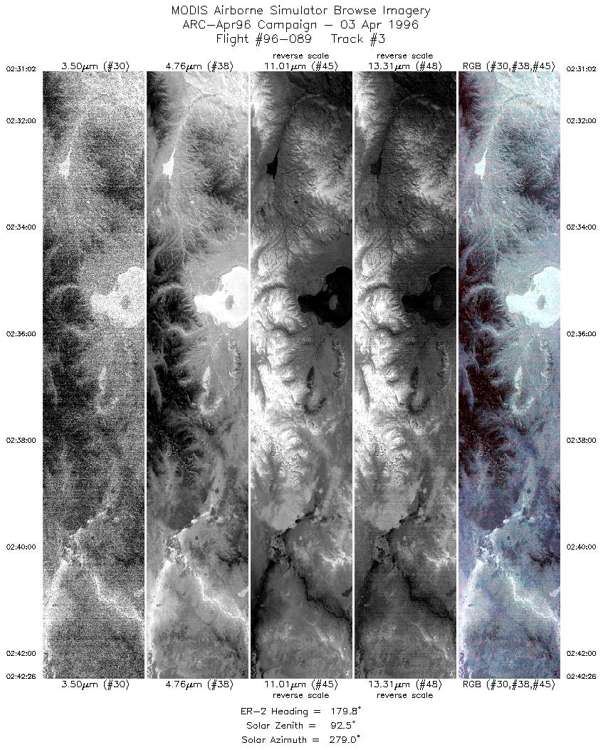
| 3 |
02:31-02:42 |
180 |
38.49-37.20 |
119.13-119.13 |
4261 |
~20000 |
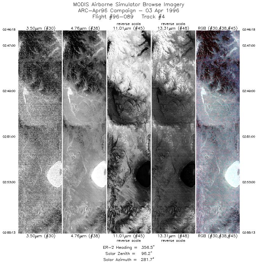
| 4 |
02:46-02:55 |
357 |
37.30-38.31 |
118.87-118.87 |
3333 |
~20000 |
| 5 |
03:00-03:12 |
181 |
38.53-37.20 |
119.00-119.00 |
4372 |
~20000 |
| 6 |
03:13-03:15 |
258 |
37.12-37.04 |
119.12-119.33 |
604 |
~20000 |
| 7 |
03:15-03:16 |
256 |
37.05-37.01 |
119.35-119.53 |
480 |
~20000 |
|
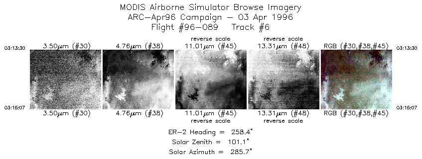
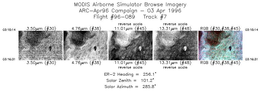
Images 01 through 07 in sequence |
Data Evalutation
No problems with data set.
Spectral Summary
Spectral Band Configuration
Spectral Response Files
Level-1B Data Distribution
NASA Goddard Space Flight Center DAAC
Related Web Sites
Airborne Sensors Facility Page
NASA ER-2 Aircraft Program
Sample Image
The flightline image to the left is of a night flight over the Mono Lake Basin.
R: 2.15 microns
G: 1.65 microns
B: 0.55 microns
|
|