
|
Sample Image

09 Aug 1995
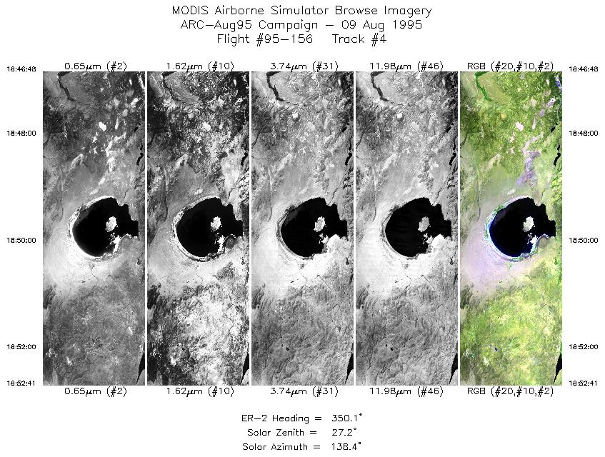
Track #04
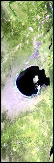

Mono Lake, with Mono Valley reaching to the left (east). Bridgeport Reservoir at the end of the flightline.
R: 2.14 microns
G: 1.62 microns
B: 0.55 microns
|
|
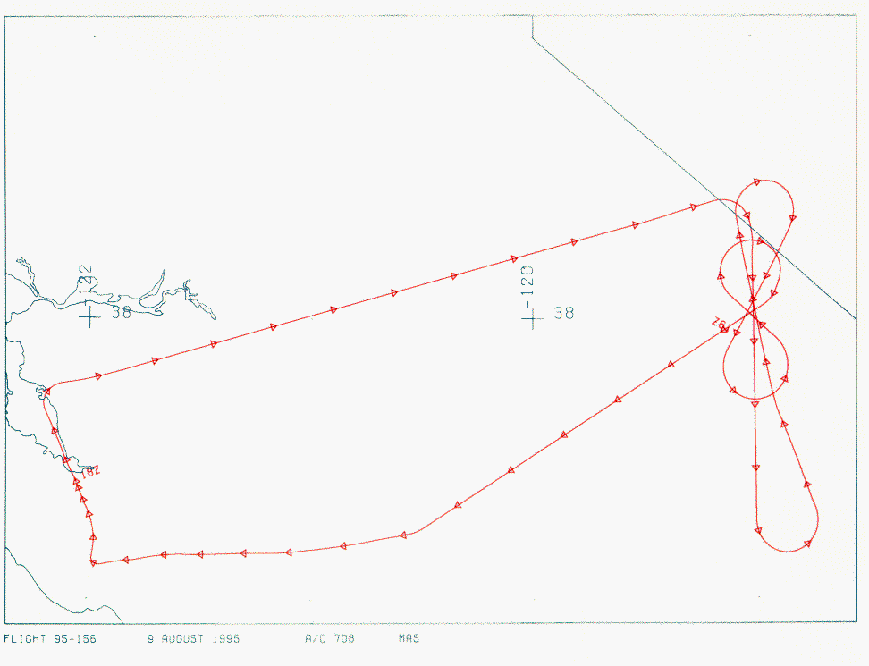
Mission Summary
Date: August 09, 1995
ER-2 Flight Number: 95-156
Deployment: ARC-Aug95
Flight Location: Mono Lake, California
Principal Investigator: Dr. Zhengming Wan (UCSB)
Additional Sensors: CLS, VIS
Objective: Validation of an algorithim used to calculate land surface temperatures and emissivity based on thermal infrared data.
Level-1B Processing Information
Level-1B Data processed by: Ames Research Center
Level-1B Data Version: #09
Level-1B Configuration: (sample file)
Calibration Type: Final
Calibration Version: 1.0
Temperature Adjustment: 24C
Status: Completed with final calibration
|
|
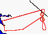
Flight Track Map

|
Level-1B Browse Imagery
Straight Line Flight Tracks: 7
Scanlines Processed: 12846
Solar Azimuth and Zenith Angles
|
Browse Images
|
Click on the Flight Track number to load images.
Lat/Lon ranges are for the BEG-END scanline nadir pixels.
|
Flight
Track |
Time_Span
(GMT) |
Heading
(Deg) |
Lat_Range
(Deg_N) |
Lon_Range
(Deg_W) |
Length
(Scanlines) |
Altitude
(Meters) |
| 1 |
18:23-18:28 |
75 |
38.25-38.41 |
119.92-119.17 |
2040 |
~20000 |
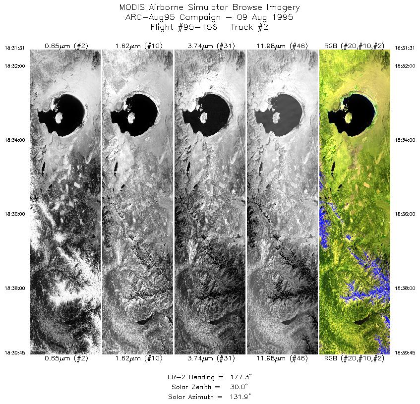
| 2 |
18:31-18:39 |
177 |
38.21-37.28 |
119.00-119.00 |
3078 |
~20000 |
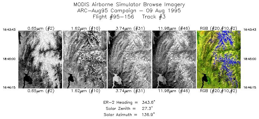
| 3 |
18:43-18:46 |
344 |
37.35-37.62 |
118.76-118.87 |
949 |
~20000 |
| 4 |
18:46-18:52 |
350 |
37.68-38.35 |
118.91-119.07 |
2203 |
~20000 |
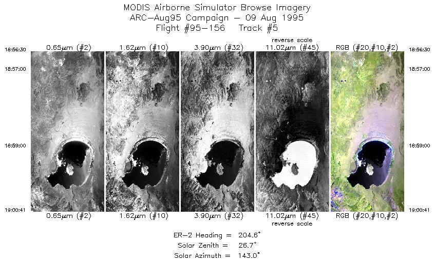
| 5 |
18:56-19:00 |
205 |
38.31-37.88 |
118.83-119.11 |
1567 |
~20000 |
| 6 |
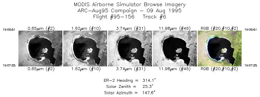
19:05-19:07 |
314 |
37.95-38.07 |
118.94-119.10 |
587 |
~20000 |
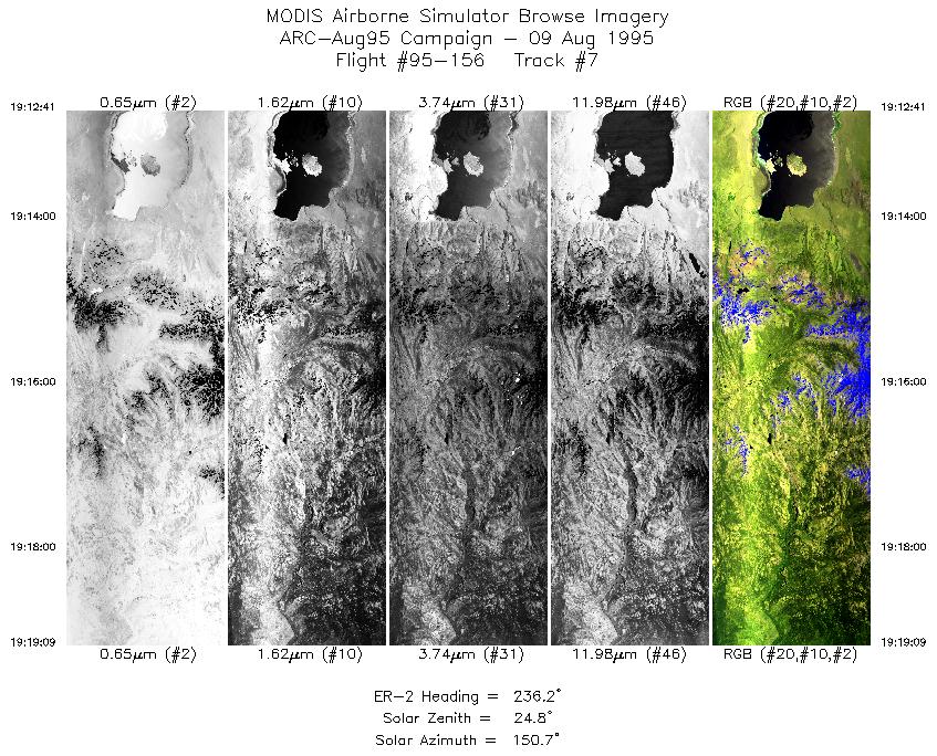
| 7 |
19:12-19:19 |
236 |
38.04-37.65 |
118.96-119.74 |
2422 |
~20000 |
|
Images 01 through 07 in sequence |
Data Evalutation
Some smearing at start of flightline in some tracks; otherwise data
quality is excellent.
Spectral Summary
Spectral Band Configuration
Spectral Response Files
Level-1B Data Distribution
NASA Goddard Space Flight Center DAAC
Related Web Sites
Cloud Lidar System (CLS)
Airborne Sensors Facility Page
NASA ER-2 Aircraft Program
|
|
