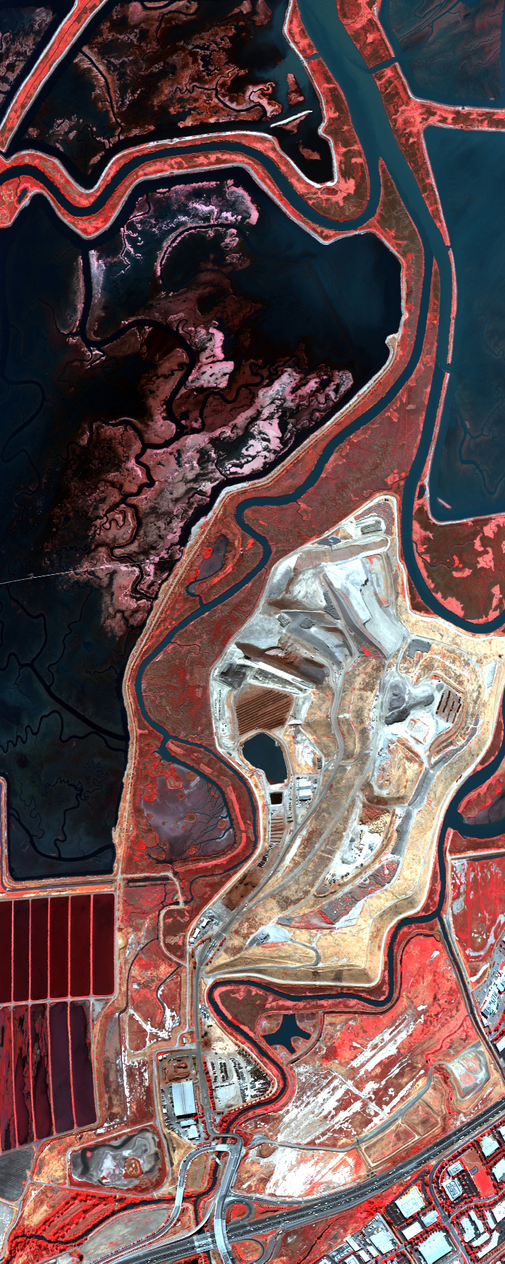
Flight: 07-002-01
Date: 01 Jun 2007
Location: San Francisco Bay Area, California
Deployment: ARC June 2007
Configuration: Land 2.5 (12-Channel)
Principal Investigators: Functional Check Flight
Additional Sensors: None
|
Data Evaluation
Overall quality is good
|
Processing Information
Level-1B Data in HDF format is available
Flight Line Summary
Spectral Band Configuration
Spectral Response Function Table
Spectral Response Function (text)
|
Browse Imagery
Flight Tracks: 14
Scanlines: 21540
|
Browse Imagery Table
|
Click a Flight Track number to view a quicklook image
Lat/Lon ranges are for the BEG-END scanline nadir pixels
|
Flight
Track |
Time Span
(GMT) |
Heading
(Deg) |
Lat Range
(Deg N) |
Lon Range
(Deg W) |
Length
(Scanlines) |
Altitude
(Meters) |
| 1 |
23:26 - 23:28 |
177.3 |
37.416 - 37.344 |
122.073 - 122.074 |
2393 |
463 |
| 2 |
23:28 - 23:29 |
171.8 |
37.343 - 37.320 |
122.074 - 122.068 |
873 |
771 |
| 3 |
23:30 - 23:32 |
344.2 |
37.328 - 37.418 |
122.037 - 122.061 |
2763 |
1017 |
| 4 |
23:35 - 23:36 |
56.2 |
37.382 - 37.395 |
122.082 - 122.058 |
730 |
1039 |
| 5 |
23:37 - 23:38 |
250.6 |
37.448 - 37.442 |
122.093 - 122.118 |
747 |
1044 |
| 6 |
23:39 - 23:40 |
160.0 |
37.423 - 37.386 |
122.128 - 122.106 |
1413 |
1057 |
| 7 |
23:41 - 23:41 |
45.7 |
37.383 - 37.398 |
122.073 - 122.052 |
844 |
1001 |
| 8 |
23:42 - 23:43 |
318.4 |
37.417 - 37.441 |
122.053 - 122.076 |
1215 |
952 |
| 9 |
23:43 - 23:44 |
252.0 |
37.450 - 37.439 |
122.097 - 122.137 |
1443 |
1042 |
| 10 |
23:46 - 23:47 |
91.2 |
37.404 - 37.405 |
122.125 - 122.078 |
1460 |
1005 |
| 11 |
23:47 - 23:48 |
61.4 |
37.407 - 37.424 |
122.071 - 122.026 |
1571 |
984 |
| 12 |
23:50 - 23:52 |
102.4 |
37.458 - 37.452 |
121.975 - 121.898 |
2652 |
1028 |
| 13 |
23:52 - 23:53 |
133.6 |
37.448 - 37.434 |
121.887 - 121.869 |
823 |
1079 |
| 14 |
00:04 - 00:09 |
332.7 |
37.238 - 37.429 |
121.932 - 122.015 |
2613 |
3097 |
|


