Flight: 07-001-01
Date: 11 Oct 2006
Location: Southern California (day / night)
Deployment: WSFM 2006
Configuration: Land 2.5 (12-Channel)
Principal Investigators: Ambrosia (CSUMB)
Additional Sensors: ARGUS / UCATS
|
Data Evaluation
Overall quality is good
|
Processing Information
Level-1B Data in HDF format is available
Flight Line Summary
Spectral Band Configuration
Spectral Response Function Table
Spectral Response Function (text)
|
Browse Imagery
Flight Tracks: 34
Scanlines: 175828
|
Browse Imagery Table
|
Click a Flight Track number to view a quicklook image
Lat/Lon ranges are for the BEG-END scanline nadir pixels
|
Flight
Track |
Time Span
(GMT) |
Heading
(Deg) |
Lat Range
(Deg N) |
Lon Range
(Deg W) |
Length
(Scanlines) |
Altitude
(Meters) |
| 1 |
22:03 - 22:10 |
95.7 |
35.034 - 35.048 |
117.707 - 117.257 |
2972 |
13380 |
| 2 |
22:12 - 22:18 |
274.5 |
35.147 - 35.193 |
117.216 - 117.505 |
2783 |
13380 |
| 3 |
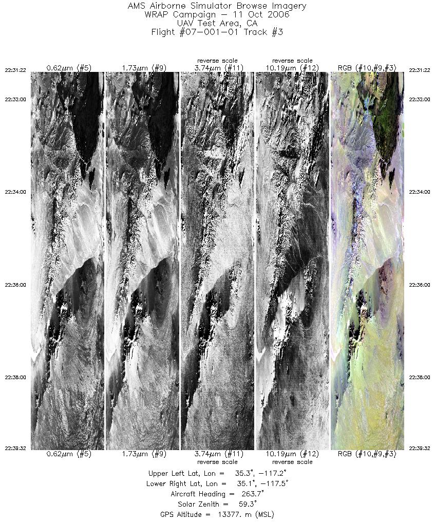
22:31 - 22:39 |
262.2 |
35.181 - 35.168 |
117.179 - 117.562 |
3680 |
13369 |
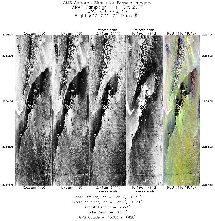
| 4 |
22:51 - 22:57 |
262.0 |
35.193 - 35.180 |
117.306 - 117.618 |
2969 |
13355 |
| 5 |
23:41 - 23:50 |
184.6 |
36.588 - 36.233 |
117.945 - 117.944 |
3876 |
13355 |
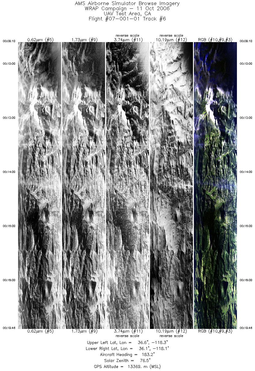
| 6 |
00:09 - 00:19 |
184.4 |
36.583 - 36.148 |
118.228 - 118.229 |
4773 |
13372 |
| 7 |
00:23 - 00:33 |
357.1 |
36.199 - 36.678 |
118.371 - 118.371 |
4171 |
13367 |
| 8 |
00:39 - 00:51 |
184.1 |
36.691 - 36.184 |
118.513 - 118.513 |
5432 |
13371 |
| 9 |
00:51 - 01:02 |
166.1 |
36.176 - 35.775 |
118.511 - 118.270 |
4751 |
13362 |
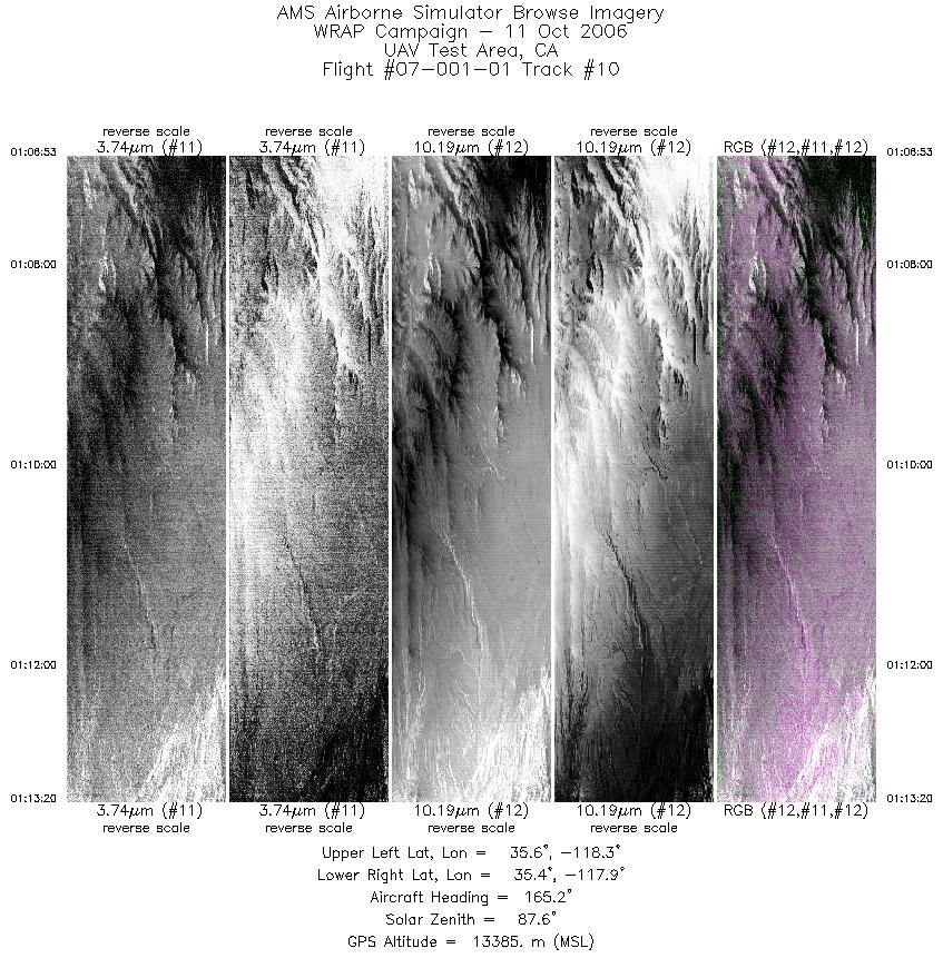
| 10 |
01:06 - 01:13 |
158.6 |
35.608 - 35.364 |
118.168 - 117.979 |
2907 |
13381 |
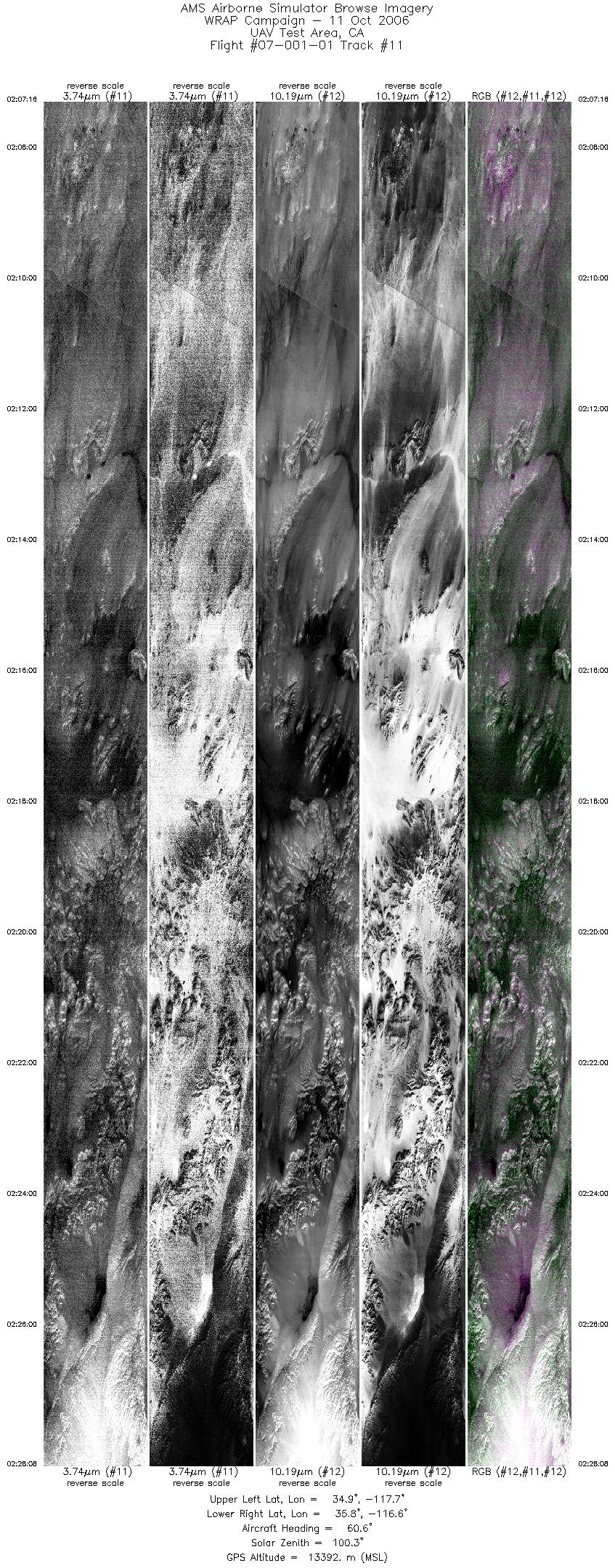
| 11 |
02:07 - 02:28 |
59.1 |
35.045 - 35.669 |
117.762 - 116.525 |
9391 |
13400 |
| 12 |
02:44 - 02:57 |
325.3 |
36.316 - 36.855 |
116.901 - 117.245 |
5846 |
13381 |
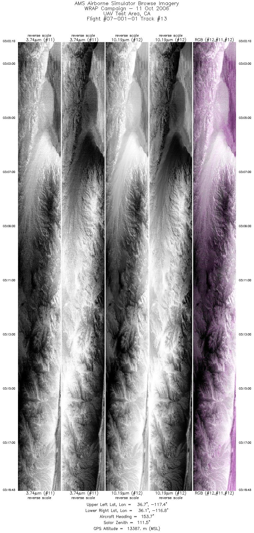
| 13 |
03:02 - 03:18 |
158.9 |
36.742 - 36.072 |
117.326 - 116.911 |
7460 |
13391 |
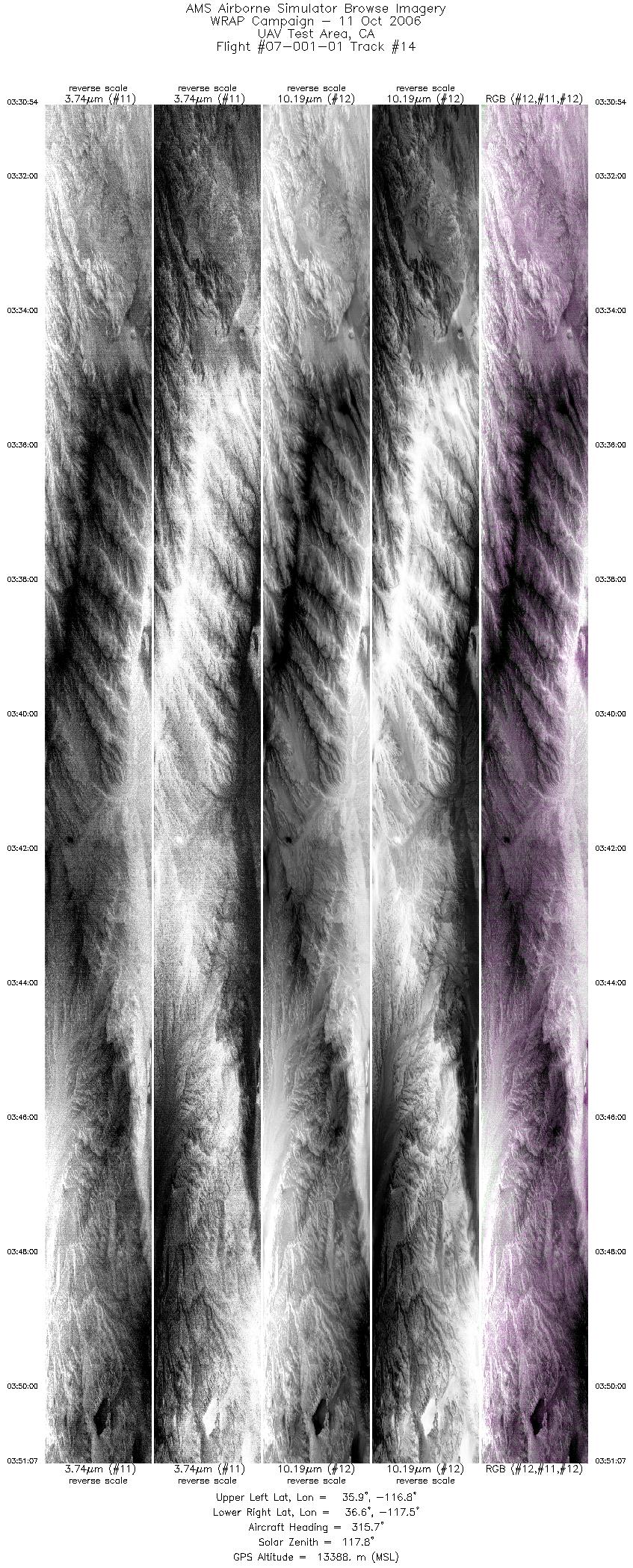
| 14 |
03:30 - 03:51 |
322.2 |
35.842 - 36.683 |
116.931 - 117.444 |
9098 |
13389 |
| 15 |
04:14 - 04:22 |
176.2 |
35.820 - 35.465 |
117.218 - 117.124 |
3775 |
13406 |
| 16 |
04:32 - 04:46 |
260.8 |
35.167 - 35.169 |
117.017 - 117.614 |
6151 |
13406 |
| 17 |
05:31 - 05:49 |
259.6 |
35.169 - 35.161 |
117.072 - 117.779 |
7860 |
7243 |
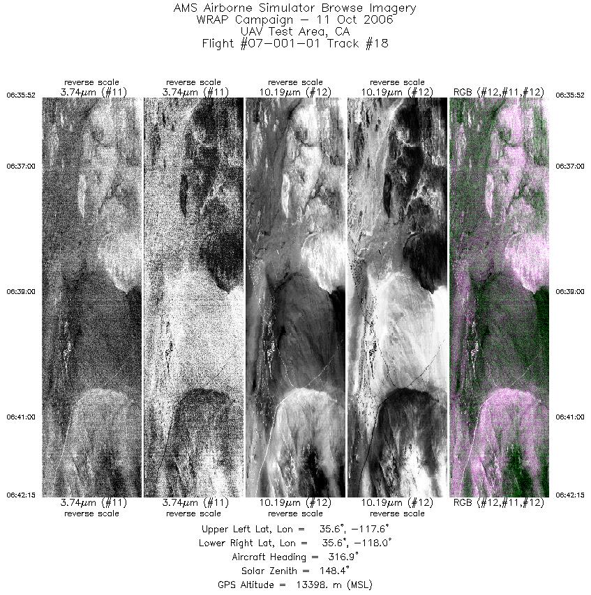
| 18 |
06:35 - 06:42 |
313.2 |
35.480 - 35.704 |
117.739 - 117.935 |
2873 |
13401 |
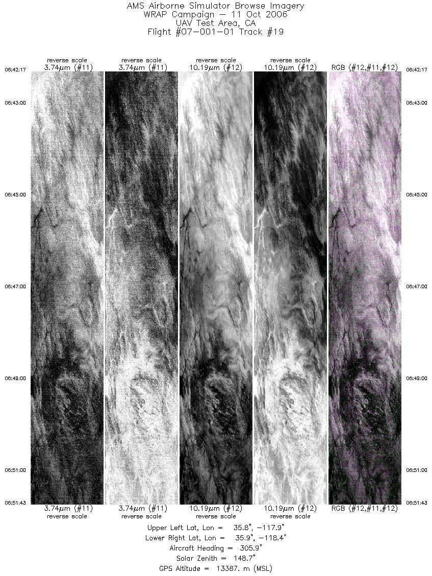
| 19 |
06:42 - 06:51 |
303.9 |
35.705 - 36.005 |
117.936 - 118.297 |
4246 |
13396 |
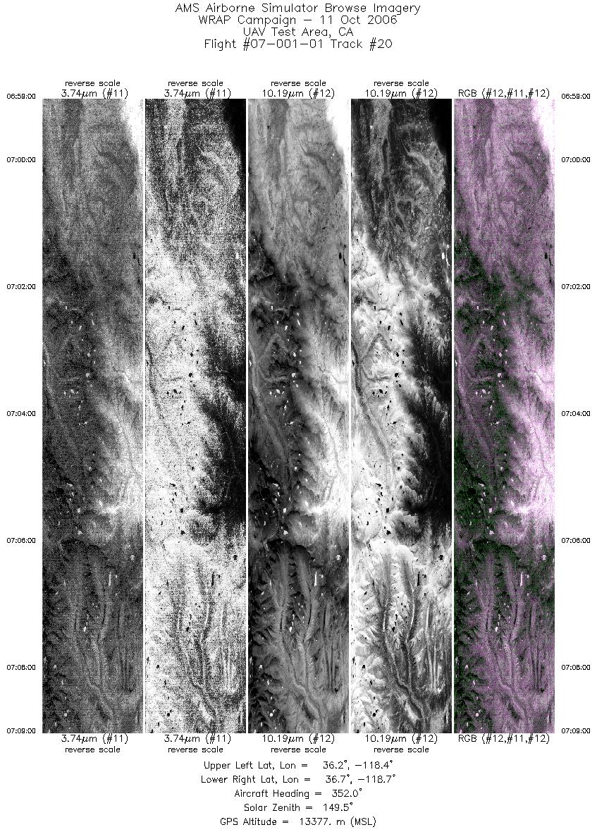
| 20 |
06:58 - 07:08 |
355.4 |
36.235 - 36.742 |
118.559 - 118.565 |
4501 |
13375 |
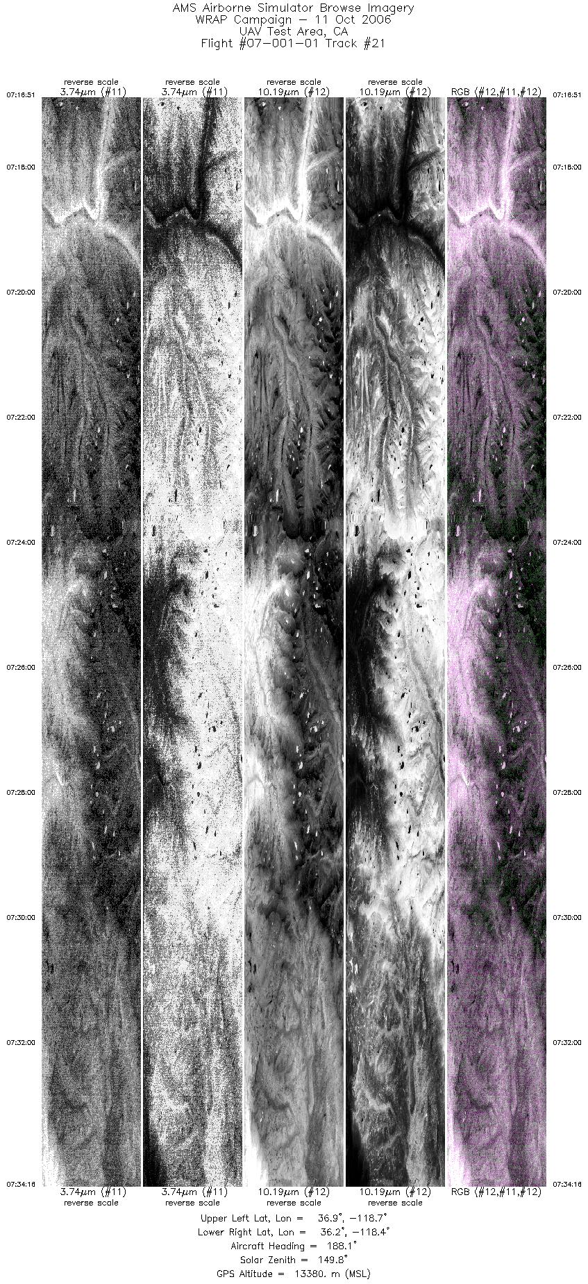
| 21 |
07:16 - 07:34 |
187.7 |
36.865 - 36.236 |
118.562 - 118.561 |
7841 |
13384 |
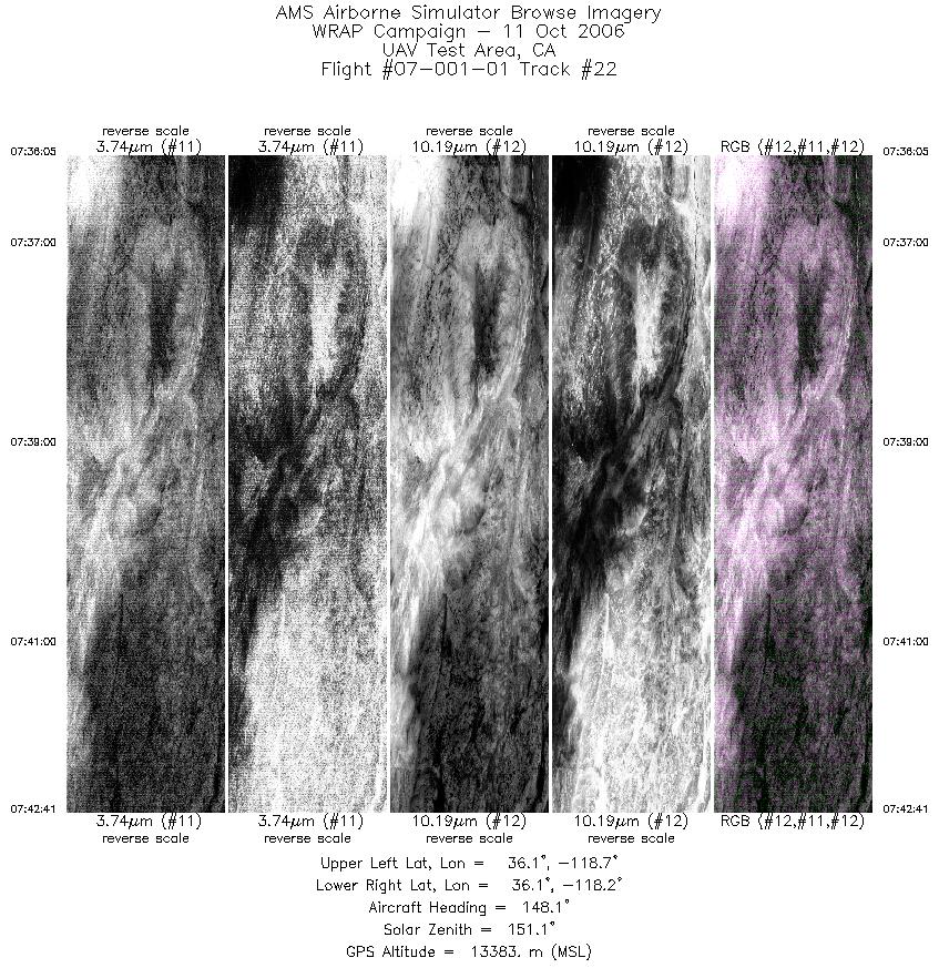
| 22 |
07:36 - 07:42 |
144.1 |
36.177 - 36.016 |
118.556 - 118.303 |
2968 |
13381 |
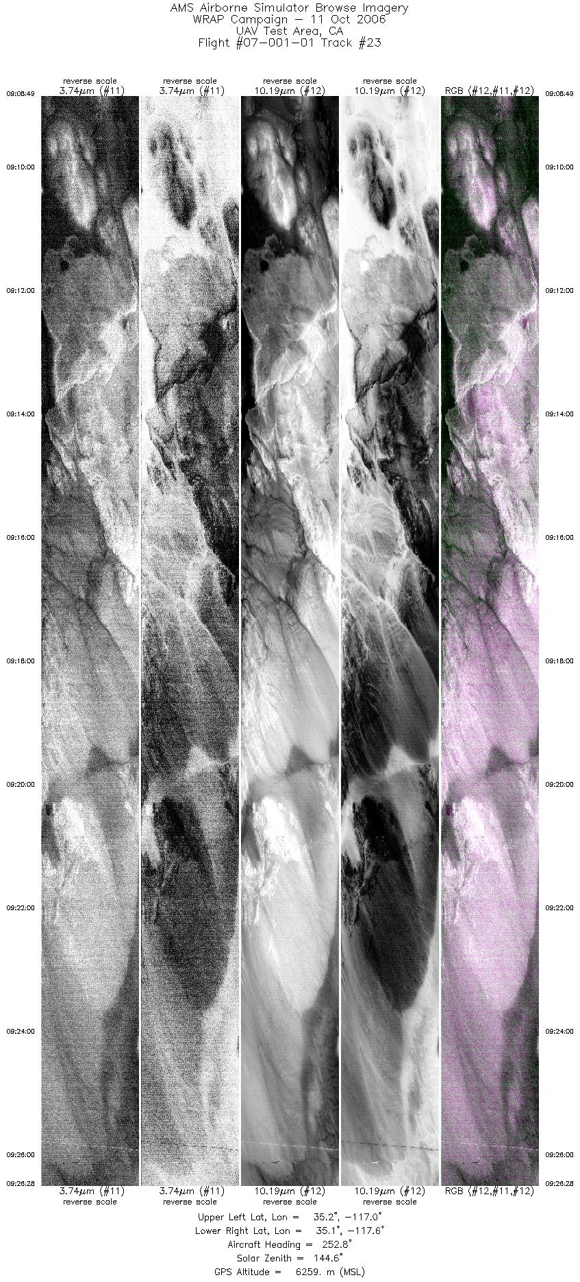
| 23 |
09:08 - 09:26 |
253.4 |
35.171 - 35.167 |
117.019 - 117.613 |
7946 |
6335 |
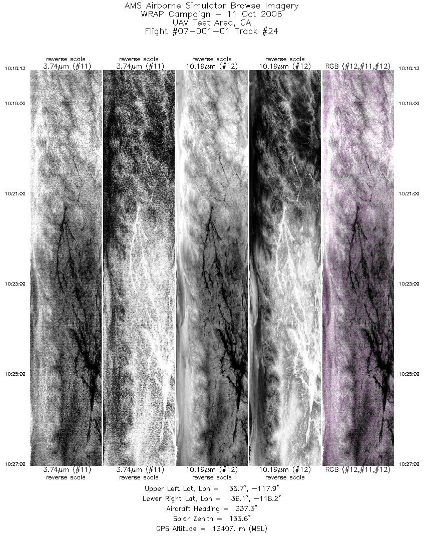
| 24 |
10:18 - 10:26 |
339.8 |
35.702 - 36.129 |
117.982 - 118.075 |
3952 |
13389 |
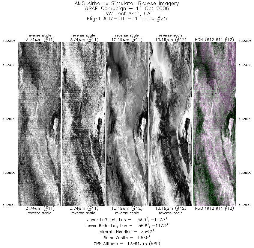
| 25 |
10:33 - 10:39 |
352.6 |
36.284 - 36.585 |
117.806 - 117.827 |
2748 |
13391 |
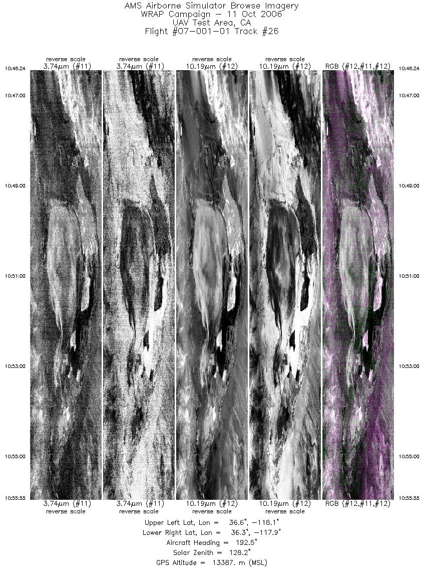
| 26 |
10:46 - 10:55 |
190.5 |
36.595 - 36.275 |
117.947 - 117.975 |
4289 |
13387 |
| 27 |
11:05 - 11:14 |
353.0 |
36.382 - 36.809 |
118.054 - 118.076 |
3812 |
13379 |
| 28 |
11:23 - 11:38 |
184.5 |
36.640 - 36.133 |
118.226 - 118.226 |
6757 |
13387 |
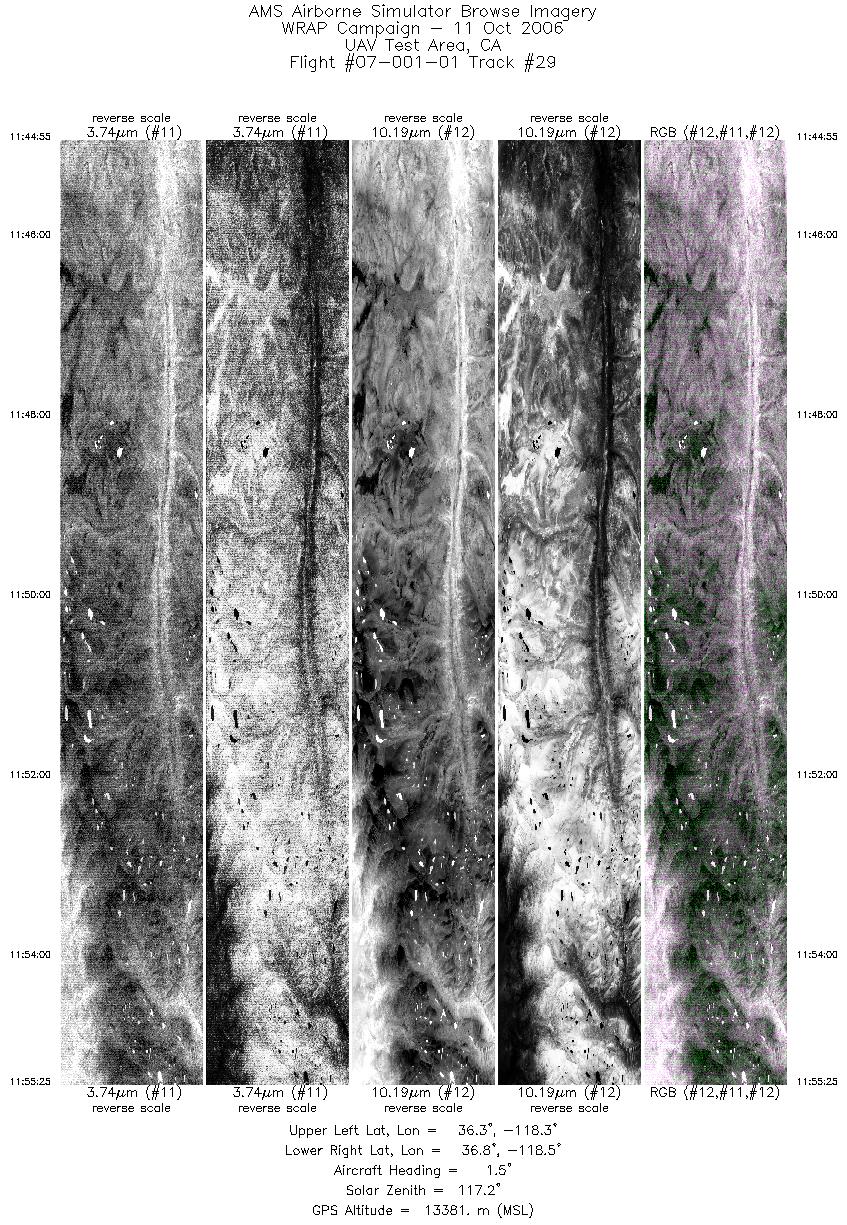
| 29 |
11:44 - 11:55 |
359.0 |
36.270 - 36.807 |
118.363 - 118.365 |
4725 |
13387 |
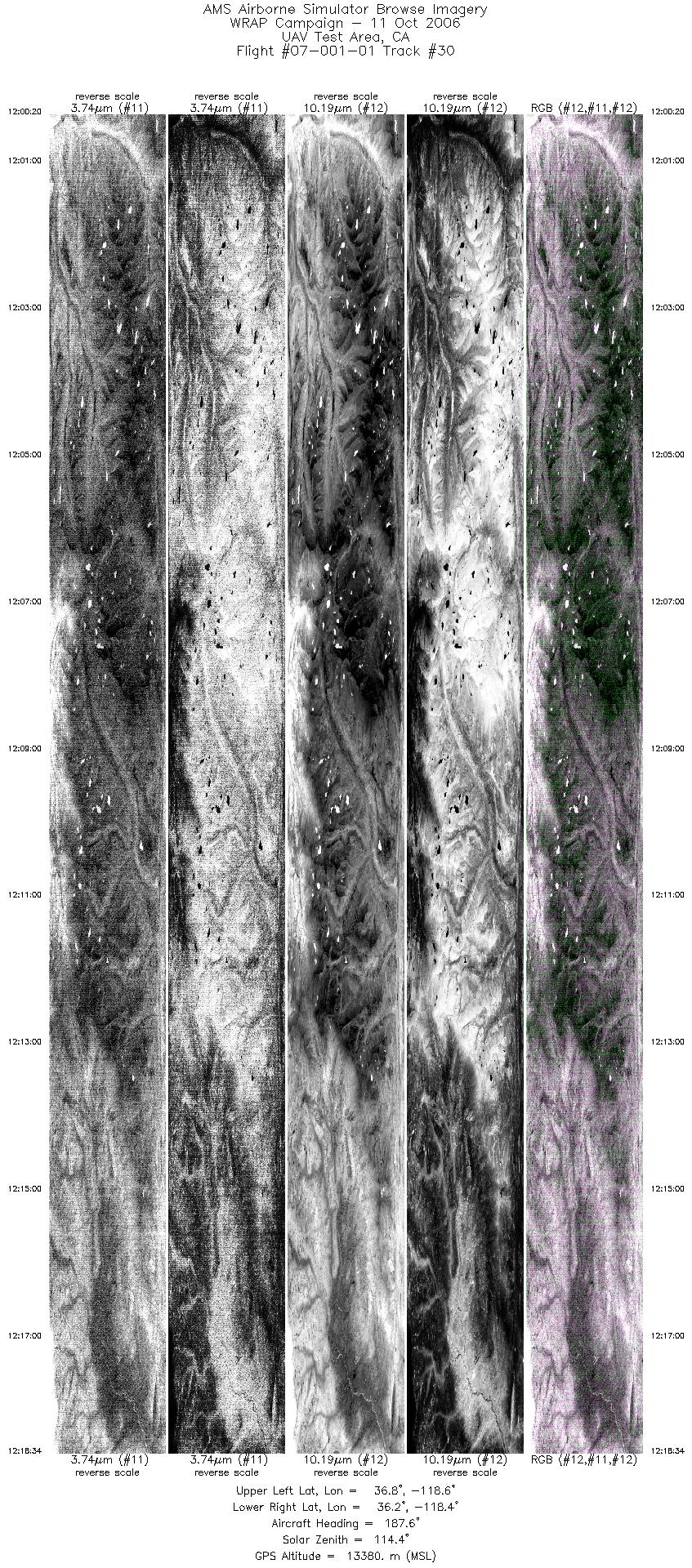
| 30 |
12:00 - 12:18 |
186.4 |
36.787 - 36.189 |
118.510 - 118.511 |
8203 |
13384 |
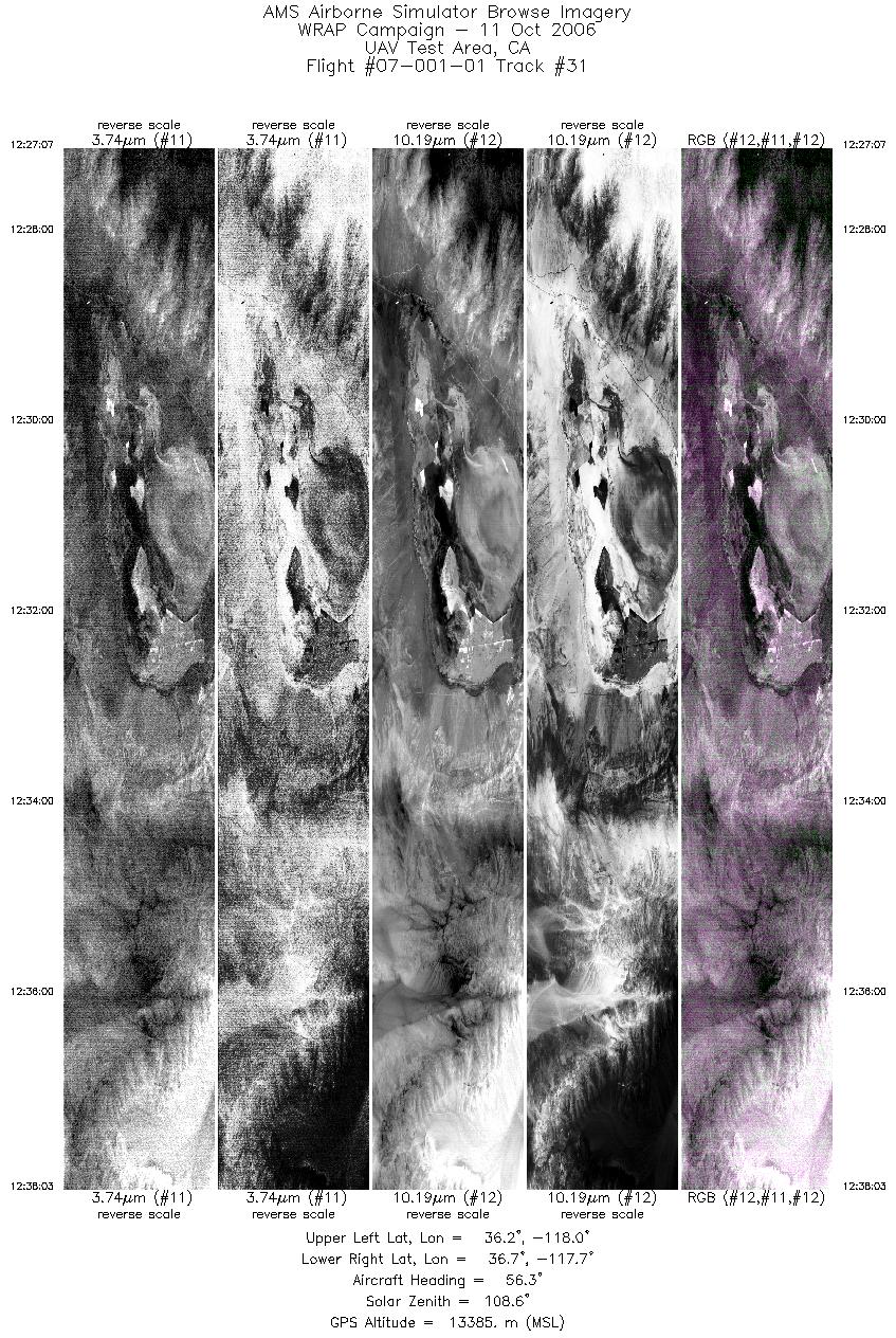
| 31 |
12:27 - 12:38 |
57.1 |
36.285 - 36.607 |
118.116 - 117.589 |
4923 |
13387 |
| 32 |
12:51 - 13:11 |
163.9 |
36.514 - 35.829 |
117.018 - 116.595 |
9178 |
13399 |
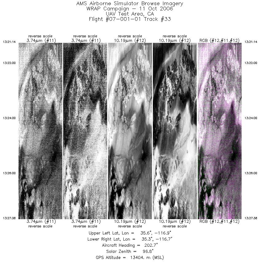
| 33 |
13:21 - 13:27 |
200.9 |
35.587 - 35.374 |
116.803 - 116.862 |
2881 |
13403 |
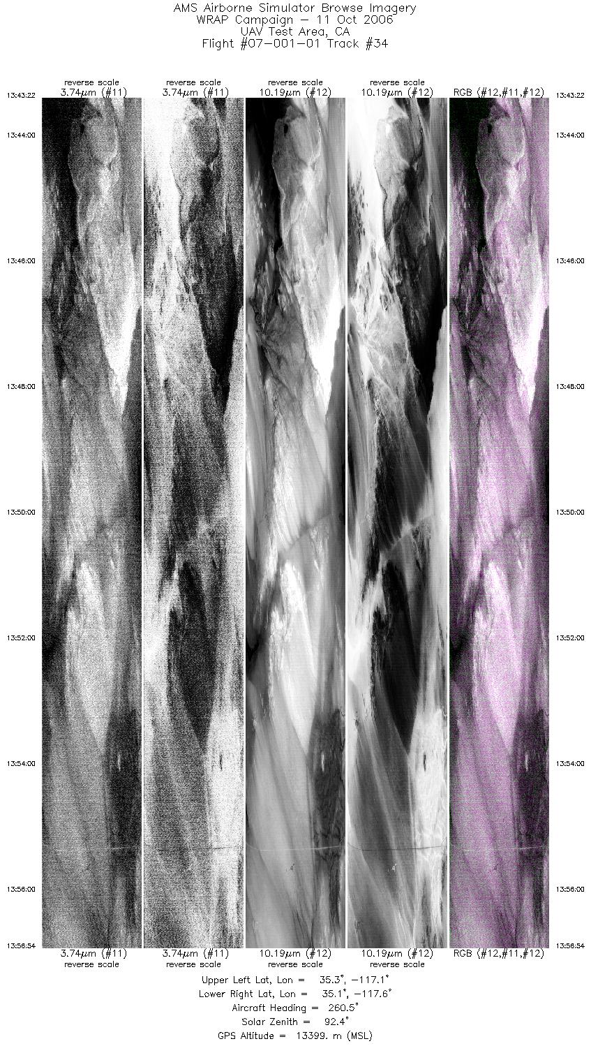
| 34 |
13:43 - 13:56 |
259.5 |
35.171 - 35.172 |
117.088 - 117.658 |
6090 |
13403 |
|


